The National Mall in Northwest Washington in Washington, District of Columbia — The American Northeast (Mid-Atlantic)
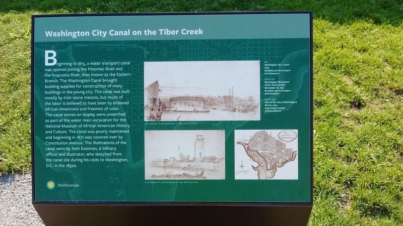
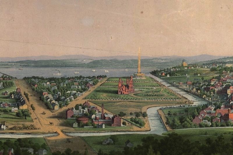
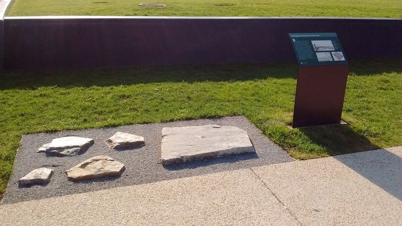
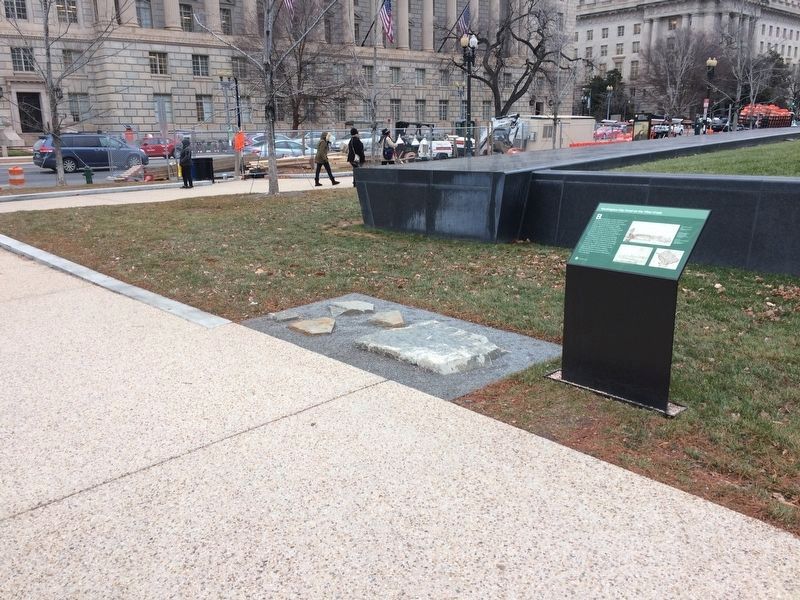
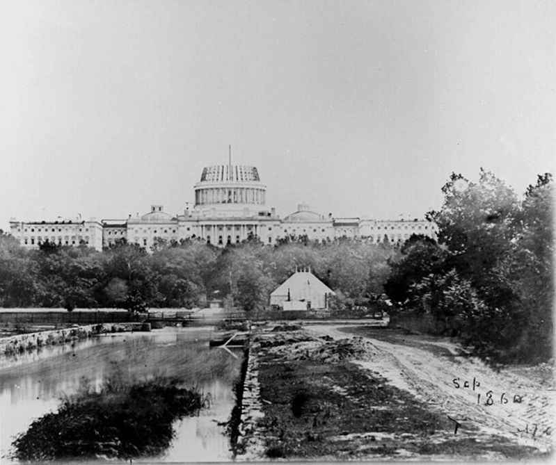
Washington City Canal on the Tiber Creek
Erected by Smithsonian Institution.
Topics. This historical marker is listed in these topic lists: African Americans • Industry & Commerce • Waterways & Vessels. A significant historical year for this entry is 1815.
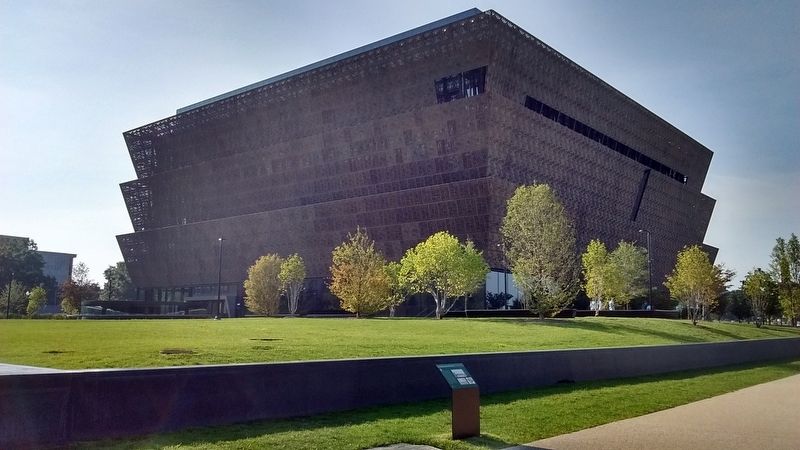
Location. 38° 53.517′ N, 77° 2.011′ W. Marker is in Northwest Washington in Washington, District of Columbia. It is in The National Mall. Marker is at the intersection of 15th Street Northwest and Constitution Avenue Northwest (U.S. 50), on the right when traveling north on 15th Street Northwest. Touch for map. Marker is at or near this postal address: 1500 Constitution Avenue Northwest, Washington DC 20560, United States of America. Touch for directions.
Other nearby markers. At least 8 other markers are within walking distance of this marker. Washington Monument (within shouting distance of this marker); Live Oaks: A Gathering Place (within shouting distance of this marker); Bulfinch Gate House (within shouting distance of this marker); Sheltering Branches (within shouting distance of this marker); Live Oaks: Specimens of Global, Scholarly and Public Research (within shouting distance of this marker); Live Oaks: A Symbol of Strength (within shouting distance of this marker); a different marker also named Sheltering Branches (about 500 feet away, measured in a direct line); How Mushrooms Help Us (about 600 feet away). Touch for a list and map of all markers in Northwest Washington.
Also see . . .
1. What's Left of the Washington City Canal?. (Submitted on July 24, 2017, by Tom Bosse of Jefferson City, Tennessee.)
2. The Washington Canal: Cesspool in the Midst of the Nation's Capital. (Submitted on July 24, 2017, by Tom Bosse of Jefferson City, Tennessee.)
Additional keywords. slave labor
Credits. This page was last revised on January 30, 2023. It was originally submitted on July 24, 2017, by Tom Bosse of Jefferson City, Tennessee. This page has been viewed 511 times since then and 38 times this year. Photos: 1, 2, 3, 4. submitted on July 24, 2017, by Tom Bosse of Jefferson City, Tennessee. 5. submitted on December 15, 2017, by Devry Becker Jones of Washington, District of Columbia. 6. submitted on July 24, 2017, by Tom Bosse of Jefferson City, Tennessee. • Bill Pfingsten was the editor who published this page.
