Many in Sabine Parish, Louisiana — The American South (West South Central)
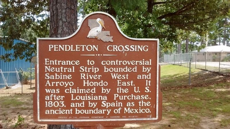
Pendleton Crossing
Erected 1955 by Louisiana Department of Commerce and Industry.
Topics. This historical marker is listed in this topic list: Notable Places. A significant historical year for this entry is 1803.
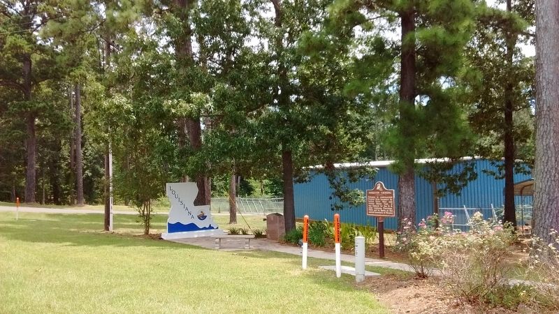
Location. 31° 29.334′ N, 93° 42.374′ W. Marker is in Many, Louisiana, in Sabine Parish. Marker is on Texas Highway (State Highway 6) west of Bridgebay Drive, on the left when traveling west. Marker located at the Toledo Bend Tourist Information Center. Touch for map. Marker is at or near this postal address: 15091 Texas Hwy, Many LA 71449, United States of America. Touch for directions.
Other nearby markers. At least 8 other markers are within 4 miles of this marker, measured as the crow flies. El Camino Real (a few steps from this marker); The History of Toledo Bend (about 600 feet away, measured in a direct line); Servicemen who were Killed in Action (approx. 3.3 miles away); M60 Main Battle Tank (approx. 3.3 miles away); West Louisiana Veterans Memorial and Park (approx. 3.3 miles away); Gaines Memorial Bridge (approx. 3.4 miles away in Texas); Site of Historic Crossing on the Sabine River (approx. 3.4 miles away in Texas); Site of Sabine River Crossing (approx. 3.4 miles away in Texas). Touch for a list and map of all markers in Many.
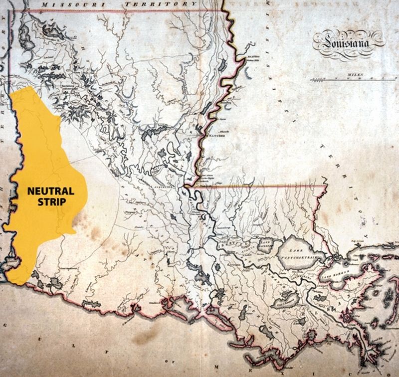
Also see . . . The Neutral Strip. (Submitted on July 26, 2017, by Tom Bosse of Jefferson City, Tennessee.)
Credits. This page was last revised on July 26, 2017. It was originally submitted on July 26, 2017, by Tom Bosse of Jefferson City, Tennessee. This page has been viewed 471 times since then and 30 times this year. Photos: 1, 2, 3. submitted on July 26, 2017, by Tom Bosse of Jefferson City, Tennessee. • Bernard Fisher was the editor who published this page.


