Rum Running
Rum, Risk, and Riches!
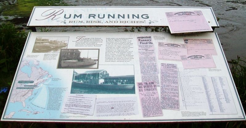
The passage of the National Prohibition Act on January 16, 1920 signalled the prohibition of alcohol for general consumption in the United States and provided an opportunity for enterprising Yarmouth businessmen and seamen. Yarmouth-based vessels were perfectly positioned to pick up supplies of alcohol in St. Pierre et Miquelon, Cuba, or the West Indies and to transport it just outside the international 12-mile limit on the east coast of the United States. From there the liquor was usually unloaded onto smaller and faster contact boats that brought it to shore for distribution by organized crime syndicates operating primarily out of Boston, New York, and New Jersey. Rum running, as it became widely known, was a lucrative but dangerous pursuit often involving risky weather conditions, the threat of armed attack and seizure by United States Coast Guard cutters, and piracy at sea!
[Photo captions, from left to right, read]
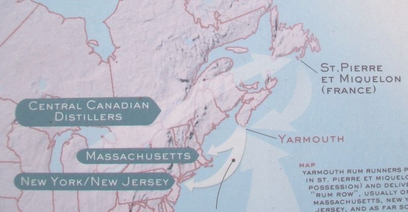
• A map of eastern seaboard showing routes of rum runners, "Rum Row" and role of contact boats.
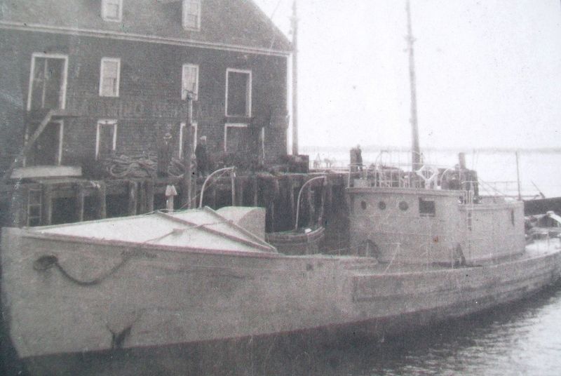
• Nova Scotia built rum runners Administratix, Apohaqui, and Good Luck tied up at Yarmouth wharves. These vessels were purpose-built for speed and stealth. They were usually equipped with the latest in radio communications equipment and their cabins were often armour plated.
Photos: Shipsearch (Marine) Captain H. G. Hall
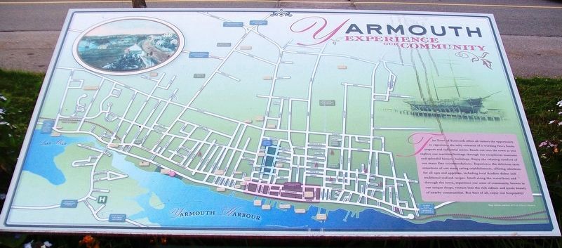
• Map
Yarmouth rum runners picked up liquor in St. Pierre et Miquelon (a French possession) and delivered it to "Rum Row", usually off the coast of Massachusetts, New York, or New Jersey, and as far south as Florida. It was generally off loaded onto smaller and faster American contact boats in international waters just outside the twelve-mile limit (in the early days of rum running there was a three-mile limit). The contact boats landed the liquor in the United States for distribution by organized crime syndicates. Liquor from distilleries in central Canada was legally exported in large quantities to St. Pierre et Miquelon. It was then purchased and delivered to "Rum Row" for illegal import into the United States. Nova Scotia rum runners also picked up rum in Cuba and other parts of the West Indies.
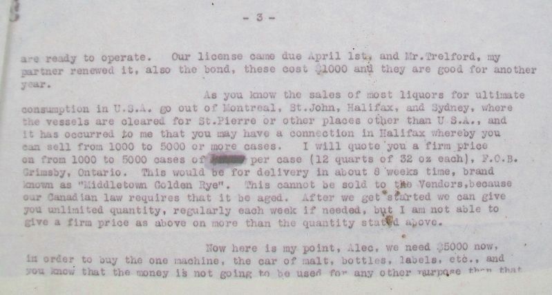
• Extract from a letter from a representative of distillery interests in Ontario to a Yarmouth contact in 1932.
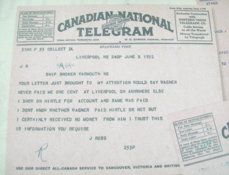
• Clippings
Organized crime syndicates in New Jersey, New York and other parts of the Eastern Seaboard of the United States were significant players in the illicit liquor trade.
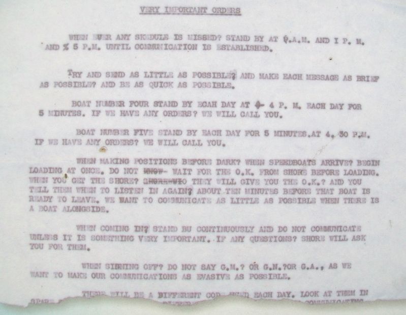
• Rum runners communicated with the best available electronic radio equipment onboard their vessels and from land bases, including Yarmouth. Codes changed on a regular basis. These are copies of codes and instructions
used by Yarmouth rum runners.
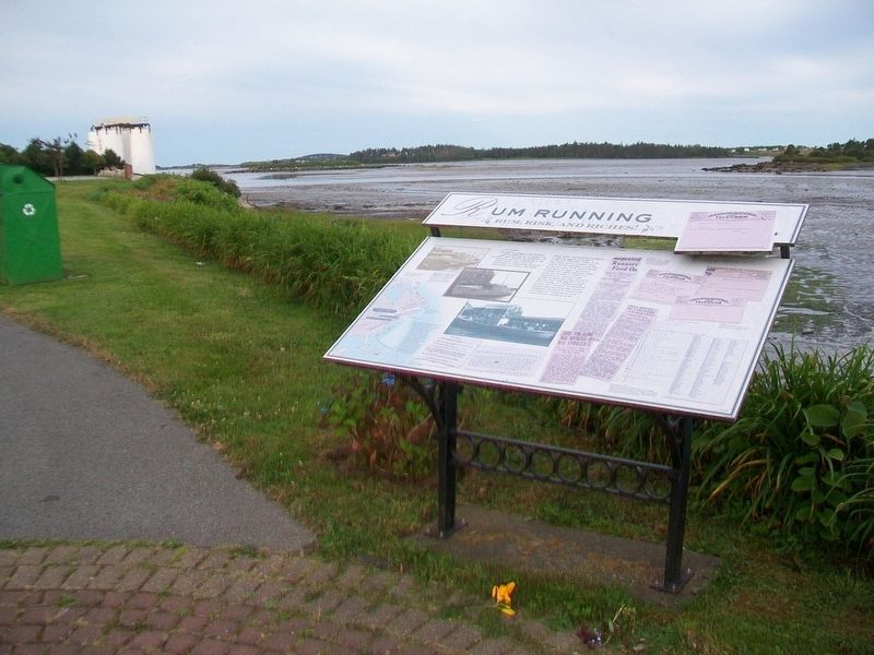
Learn more about Yarmouth's heritage at the Yarmouth County Museum and Archives, 22 Collins Street.
Erected 2003 by Yarmouth Waterfront Development Corporation and Others.
Topics. This historical marker is listed in these topic lists: Industry & Commerce • Waterways & Vessels. A significant historical date for this entry is January 16, 1920.
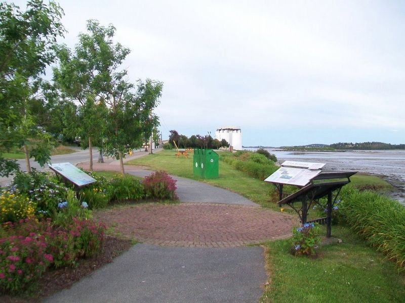
Location. 43° 50.66′ N, 66° 7.142′ W. Marker is in Yarmouth, Nova Scotia, in Yarmouth County. Marker is on Water Street, on the right when traveling south. Marker is about about 40 meters NNW of Tim Hortons/Wendy's, along the waterfront. Touch for map. Marker is in this post office area: Yarmouth NS B5A 1H8, Canada. Touch for directions.
Other nearby markers. At least 8 other markers are within walking distance of this marker. The Fishery (here, next to this marker); Shipbuilding (within shouting distance of this marker); Political Life (within shouting distance of this marker); Milton Clock (within shouting distance of this marker); Early Settlement (within shouting distance of this marker); Land Transportation (about 180 meters away, measured in a direct line); Manufacturing (about 180 meters away); Coronation Park (approx. 0.6 kilometers away). Touch for a list and map of all markers in Yarmouth.
Related marker. Click here for another marker that is related to this marker.
Also see . . .
Credits. This page was last revised on September 26, 2023. It was originally submitted on July 28, 2017, by William Fischer, Jr. of Scranton, Pennsylvania. This page has been viewed 667 times since then and 64 times this year. Photos: 1, 2, 3, 4, 5, 6, 7. submitted on July 28, 2017, by William Fischer, Jr. of Scranton, Pennsylvania. 8, 9. submitted on July 30, 2017, by William Fischer, Jr. of Scranton, Pennsylvania.
