Benning Ridge in Southeast Washington in Washington, District of Columbia — The American Northeast (Mid-Atlantic)
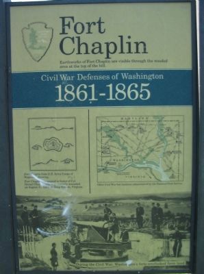
Fort Chaplin
Civil War Defenses of Washington
— 1861-1865 —
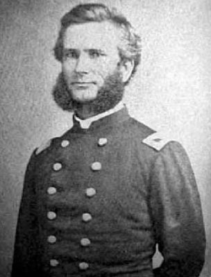
Fort Chaplin was named in honor of Col. Daniel Chaplin, who was mortally wounded on August 17, 1864, at Deep Bottom, Virginia.
Erected by National Park Service, U.S. Department of the Interior.
Topics and series. This historical marker is listed in these topic lists: Forts and Castles • War, US Civil. In addition, it is included in the Defenses of Washington series list. A significant historical year for this entry is 1864.
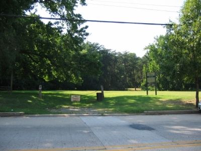
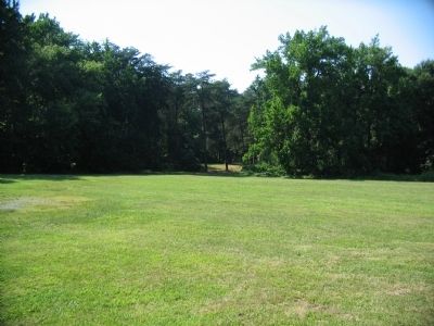
Location. 38° 53.231′ N, 76° 56.436′ W. Marker is in Southeast Washington in Washington, District of Columbia. It is in Benning Ridge. Marker is at the intersection of Texas Avenue Southeast and C Street Southeast, on the right when traveling south on Texas Avenue Southeast. Located in Fort Chaplin Park in the Benning Heights neighborhood. Touch for map. Marker is in this post office area: Washington DC 20019, United States of America. Touch for directions.
Other nearby markers. At least 8 other markers are within walking distance of this marker. Woodlawn Cemetery (approx. ¼ mile away); Fort Mahan (approx. half a mile away); First Rock Baptist Church Rain Garden (approx. half a mile away); First Rock Baptist Church (approx. half a mile away); John Philip Sousa Junior High School (approx. 0.7 miles away); St. John Baptist Church of Marshall Heights, SE, Inc. (approx. 0.8 miles away); Howard D. Woodson Residence (approx. 0.8 miles away); "We're Not Forgotten" (approx. 0.8 miles away). Touch for a list and map of all markers in Southeast Washington.
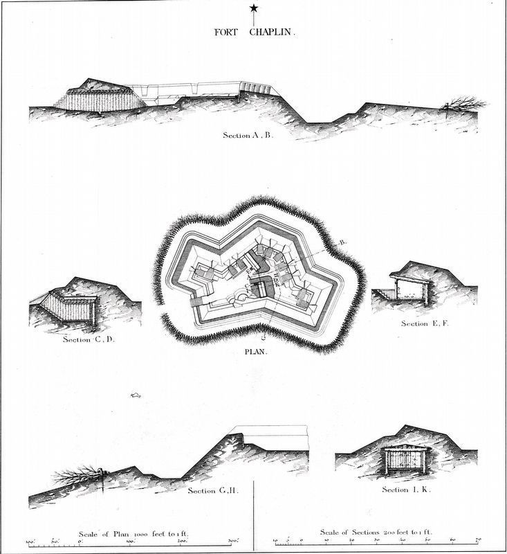
More about this marker. The marker displays a plan of Fort Chaplin from U.S. Army Corps of Engineers drawing. A map shows other Civil War fortifications surrounding Washington, D.C. administered by the park service. The bottom of the marker is a wartime photo, used on many markers of this series, of a gun at Fort Totten, captioned During the Civil War, Washington's forts overlooked farm land.
Also see . . .
1. Fort Chaplin. National Park Service page on the fort. (Submitted on August 22, 2008, by Craig Swain of Leesburg, Virginia.)
2. Col. Daniel Chaplin. (Submitted on March 22, 2011, by Richard E. Miller of Oxon Hill, Maryland.)
Additional commentary.
1. Fort Chaplin Particulars
From "Mr. Lincoln's Forts: A Guide to the Civil War Defenses of Washington," by Benjamin Franklin Cooling III and Walton H. Owen II:
Fort Chaplin was part of a group of works defending the approaches to Benning Bridge. Other forts included "Fort of Circular Form," also called Fort Craven or Skaggs after the landowners, which stood to the south. Another fort in this set was "Fort on Kennedy's Hill," also named Fort Sedgwick.
Fort Chaplin, and likely none of the other forts for that matter, were garrisoned full time. However Fort Chaplin had one 24-pdr seacoast gun mounted.
— Submitted August 23, 2008, by Craig Swain of Leesburg, Virginia.
Credits. This page was last revised on March 21, 2024. It was originally submitted on August 22, 2008, by Craig Swain of Leesburg, Virginia. This page has been viewed 3,167 times since then and 41 times this year. Photos: 1, 2, 3. submitted on August 22, 2008, by Craig Swain of Leesburg, Virginia. 4. submitted on March 22, 2011, by Richard E. Miller of Oxon Hill, Maryland. 5. submitted on March 12, 2024, by Allen C. Browne of Silver Spring, Maryland.
