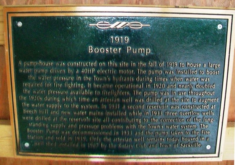
1919 Booster Pump
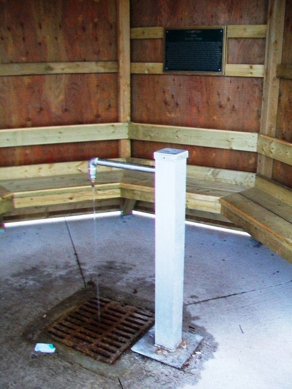
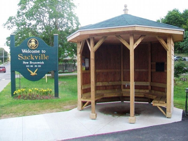
A pump-house was constructed on this site in the fall of 1919 to house a large water pump driven by a 40HP electric motor. The pump was installed to boost the water pressure in the Town’s hydrants during times when water was required for fire fighting. It became operational in 1920 and nearly doubled the water pressure available to firefighters. The pump was in use throughout the 1920s during which time an artesian well was drilled at the site to augment the water supply to the system. In 1931 a second reservoir was constructed at Beech Hill and new water mains installed while in 1933 three overflow wells were drilled at the reservoir site all contributing to the correction of the long-standing supply and pressure problems with the Town’s water system. The Booster Pump was decommissioned in 1933 and the pump taken to the Fire Station and sold in 1939. Only the artesian well remains today housed in a small shed installed in 1987 by the Rotary Club and Town of Sackville.
Topics. This historical marker is listed in these topic lists: Charity & Public Work • Man-Made Features. A significant historical year for this entry is 1919.
Location. 45° 54.371′ N, 64° 22.41′ W. Marker is in Sackville, New Brunswick, in Westmorland County. Marker is on Main Street (New Brunswick Route 940) just south of
Other nearby markers. At least 8 other markers are within walking distance of this marker. Anglican Church Rectory (approx. 0.6 kilometers away); St. Paul's Anglican Church (approx. 0.8 kilometers away); Town Hall (approx. one kilometer away); Harold Geddes (approx. one kilometer away); The Wood Block / L'Edifice Wood (approx. one kilometer away); The Ford Block (approx. one kilometer away); The Henderson Block (approx. one kilometer away); Copp Block (approx. one kilometer away). Touch for a list and map of all markers in Sackville.
Credits. This page was last revised on July 22, 2020. It was originally submitted on July 31, 2017, by William Fischer, Jr. of Scranton, Pennsylvania. This page has been viewed 162 times since then and 10 times this year. Photos: 1, 2, 3. submitted on July 31, 2017, by William Fischer, Jr. of Scranton, Pennsylvania.


