Near Kakabeka Falls in Thunder Bay District, Ontario — Central Canada (North America)
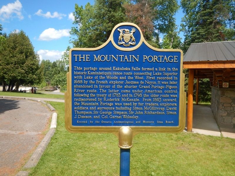
The Mountain Portage
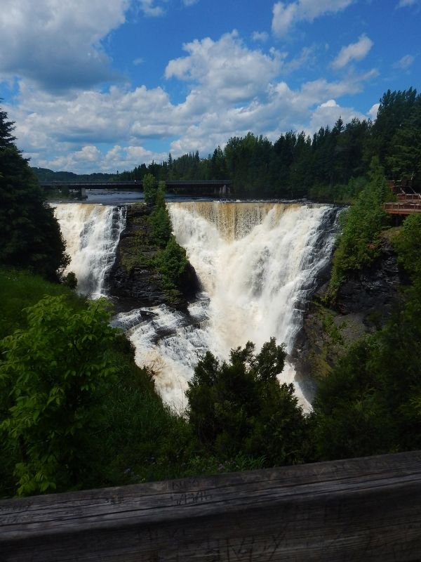
This portage around Kakabeka Falls formed a link in the historic Kaministiquia canoe route connecting Lake Superior with Lake of the Woods and the West. First recorded in 1688 by the French explorer Jacques de Noyon, it was later abandoned in favour of the shorter Grand Portage-Pigeon River route. The latter came under American control following the treaty of 1783, and in 1798 the older route was rediscovered by Roderick McKenzie. From 1803 onward, the Mountain Portage was used by fur traders, explorers, soldiers, and surveyors including Simon McGillivray, David Thompson, Sir George Simpson, Sir John Richardson, Simon J. Dawson, and Col. Garnet Wolseley.
Erected by Ontario Archaeological and Historic Sites Board.
Topics. This historical marker is listed in these topic lists: Natural Features • Waterways & Vessels. A significant historical year for this entry is 1688.
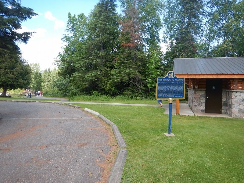
Location. 48° 24.082′ N, 89° 37.498′ W. Marker is near Kakabeka Falls, Ontario, in Thunder Bay District. Marker is located within the boundaries of Kakabeka Falls Provincial Park. Touch for map. Marker is in this post office area: Kakabeka Falls ON P0T 1W0, Canada. Touch for directions.
Other nearby markers. At least 1 other marker is within walking distance of this marker. The Kaministikwia Route (within shouting distance of this marker).
Credits. This page was last revised on August 4, 2017. It was originally submitted on August 4, 2017, by Kevin Craft of Bedford, Quebec. This page has been viewed 223 times since then and 20 times this year. Photos: 1, 2, 3. submitted on August 4, 2017, by Kevin Craft of Bedford, Quebec.


