Hopewell Cape in Albert County, New Brunswick — The Atlantic Provinces (North America)
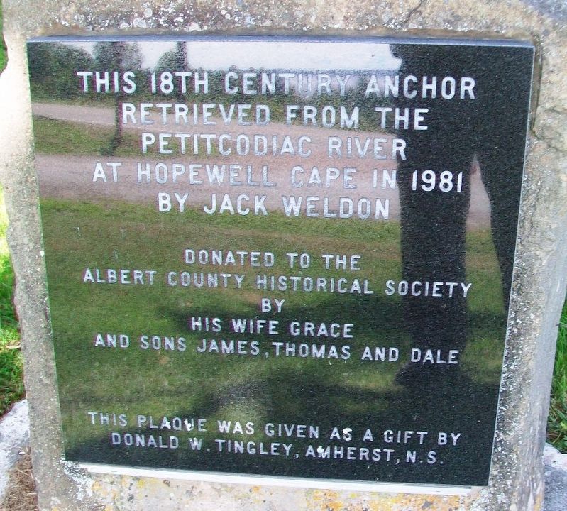
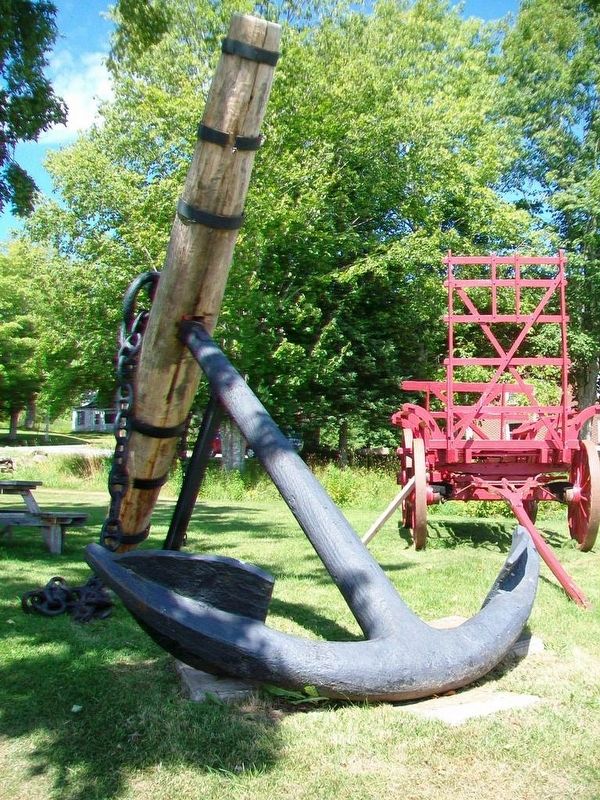
18th Century Anchor
retrieved from the
Petitcodiac River
at Hopewell Cape in 1981
by Jack Weldon
Donated to the
Albert County Historical Society
by
his wife Grace
and sons James, Thomas and Dale
This plaque was given as a gift by
Donald W. Tingley, Amherst, N.S.
Erected by Donald W. Tingley and the Albert County Historical Society.
Topics. This historical marker is listed in these topic lists: Colonial Era • Man-Made Features • Waterways & Vessels. A significant historical year for this entry is 1981.
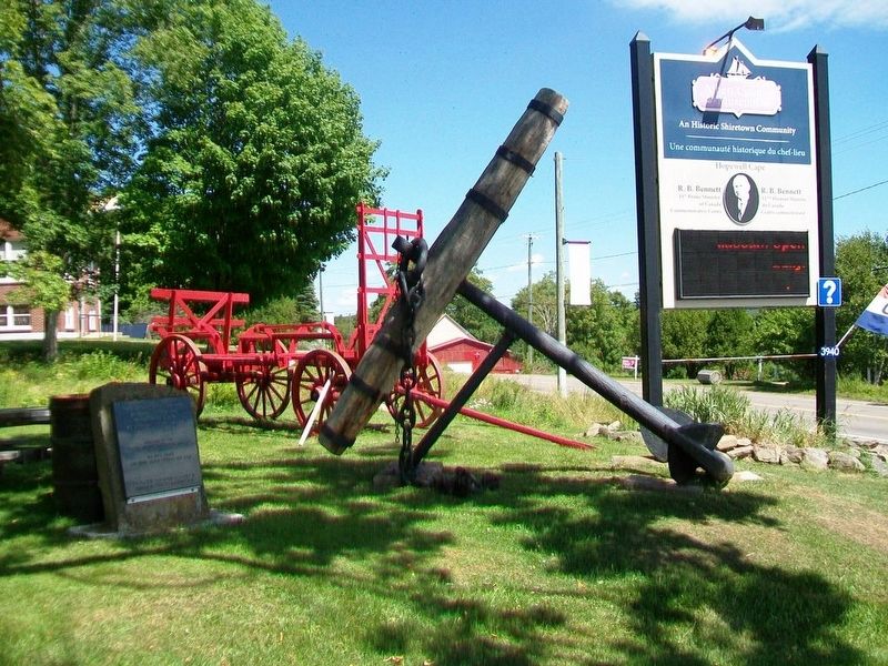
Location. 45° 50.945′ N, 64° 34.62′ W. Marker is in Hopewell Cape, New Brunswick, in Albert County. Marker is at the intersection of Main Street (New Brunswick Route 114) and Hopewell Cross Road, on the left when traveling north on Main Street. Anchor and marker are at the Albert County Museum complex. Touch for map. Marker is at or near this postal address: 3940 New Brunswick Route 114, Hopewell Cape NB E4H 3J8, Canada. Touch for directions.
Other nearby markers. At least 8 other markers are within walking distance of this marker. Silver Jubilee Lodge and Library (a few steps from this marker); Right Honourable Richard Bedford Bennett (within shouting distance of this marker); County Records Office / Le bureau des archives du comté (within shouting distance of this marker); WWI 10cm K 14 German Field Gun (within shouting distance of this marker); Hopewell Cape Community Hall (within shouting distance of this marker); County Tax Office / La perception du comté (within shouting distance of this marker); Albert County Museum / Musée du comté d'Albert (within shouting distance of this marker); Albert County Court House (about 90 meters away, measured in a direct line). Touch for a list and map of all markers in Hopewell Cape.
Also see . . . Petitcodiac River Historical Values. (Submitted on August 6, 2017, by William Fischer, Jr. of Scranton, Pennsylvania.)
Credits. This page was last revised on July 23, 2018. It was originally submitted on August 6, 2017, by William Fischer, Jr. of Scranton, Pennsylvania. This page has been viewed 186 times since then and 9 times this year. Photos: 1, 2, 3. submitted on August 6, 2017, by William Fischer, Jr. of Scranton, Pennsylvania.


