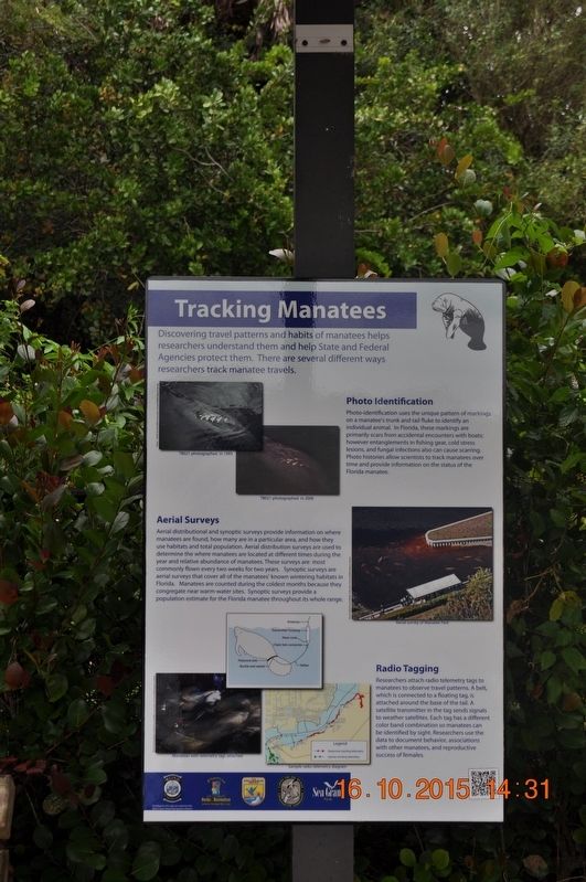
Tracking Manatees
Photo Identification
Photo-identification uses the unique pattern of markings on a manatee’s trunk and tail fluke to identify an individual animal. In Florida, these markings are primarily scars from accidental encounters with boats; however entanglements in fishing gear, cold stress lesions, and fungal infections also can cause scarring. Photo histories allow scientist to tract manatees over time and provide information on the status of the Florida manatee.
Aerial Surveys
Aerial distributional and synoptic surveys provide information on where manatees are found, how many are in a particular area, and how they use habitats and total population. Aerial distribution surveys are used to determine the where manatees are located at different times during the year and relative abundance of manatees. These surveys are most commonly flown every two weeks for two years. Synoptic surveys are aerial surveys that cover all the manatee’s know wintering habitats in Florida. Manatees are counted during the coldest months because they congregate near warm-water sites. Synoptic surveys provide a population estimate
Radio Tagging
Researchers attach radio telemetry tags to manatees to observe travel patterns. A belt, which is connected to a floating tag, is attached around the base of the tail. A satellite transmitter in the tag sends signals to weather satellites. Each tag has a different color band combination so manatees can be identified by sight. Researchers use the data to document behavior, associations with other manatees, and reproductive success of females.
Topics. This historical marker is listed in these topic lists: Animals • Entertainment.
Location. 26° 41.59′ N, 81° 46.666′ W. Marker is in Fort Myers, Florida, in Lee County. Marker is on Palm Beach Boulevard. Marker is located inside park. Touch for map. Marker is at or near this postal address: 10901 Palm Beach Blvd, Fort Myers FL 33905, United States of America. Touch for directions.
Other nearby markers. At least 8 other markers are within walking distance of this marker. Relatives and Relationships (here, next to this marker); Manatee Young (here, next to this marker); Pine Flatwoods Habitat (here, next to this marker); Scrub Oak Habitat (here, next to this marker); Responsible Fishing (here, next to this marker); Boating with Wildlife (here, next to this marker); Mangroves - Trees of the Sea
Credits. This page was last revised on August 30, 2017. It was originally submitted on August 7, 2017, by Sandra Hughes Tidwell of Killen, Alabama, USA. This page has been viewed 233 times since then and 12 times this year. Photo 1. submitted on August 7, 2017, by Sandra Hughes Tidwell of Killen, Alabama, USA. • Bill Pfingsten was the editor who published this page.
