Amityville in Suffolk County, New York — The American Northeast (Mid-Atlantic)
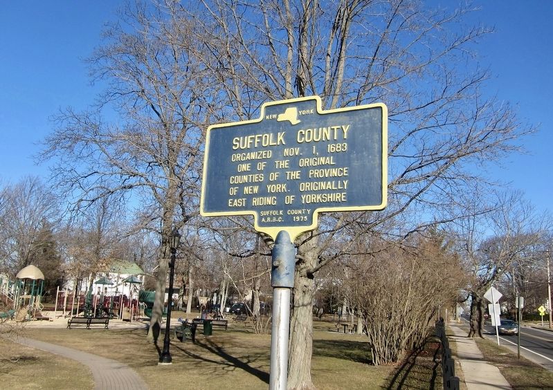
Suffolk County
One of the original
counties of the Province
of New York. Originally
East Riding of Yorkshire
Erected 1975 by Suffolk County A.R.B.C.
Topics. This historical marker is listed in this topic list: Political Subdivisions. A significant historical date for this entry is October 1, 1683.
Location. 40° 40.719′ N, 73° 24.781′ W. Marker is in Amityville, New York, in Suffolk County. Marker is on Oak Street west of Lake Street, on the right when traveling west. Touch for map. Marker is in this post office area: Amityville NY 11701, United States of America. Touch for directions.
Other nearby markers. At least 8 other markers are within walking distance of this marker. Naomi W. Griffiths (approx. ¼ mile away); St. Mary's Church (approx. ¼ mile away); Former High School (approx. 0.3 miles away); Amityville Trolley Routes (approx. 0.4 miles away); South Side R.R. (approx. 0.4 miles away); Brunswick Home (approx. half a mile away); Walt Whitman (approx. half a mile away); Ireland's Mill (approx. 0.6 miles away). Touch for a list and map of all markers in Amityville.
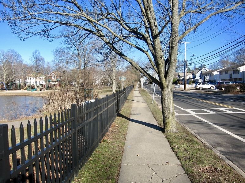
More about this marker. The marker is located on Oak Street, on the southern edge of Peterkin Park.
Also see . . . Province of New York (Wikipedia). "A colonial Assembly was created in October 1683. New York was the last of the English colonies to have an assembly. The assembly passed the Province of New York constitution on October 30, the first of its kind in the colonies. This constitution gave New Yorkers more rights than any other group of colonists including the protection from taxation without representation. On November 1, 1683, the government was reorganized, and the state was divided into twelve counties, each of which was subdivided into towns. Ten of those counties still exist (see above), but two (Cornwall and Dukes) were in territory purchased by the Duke of York from the Earl of Stirling, and are no longer within the territory of the State of New York, having been transferred by treaty to Massachusetts. While the number of counties has been increased to 62, the pattern still remains that a town in New York State is a subdivision of a county, similar to New England." (Submitted on August 8, 2017.)
Credits. This page was last revised on August 8, 2017. It was originally submitted on August 8, 2017, by Andrew Ruppenstein of Lamorinda, California. This page has been viewed 382 times since then and 24 times this year. Photos: 1, 2. submitted on August 8, 2017, by Andrew Ruppenstein of Lamorinda, California.

