Waynesboro, Virginia — The American South (Mid-Atlantic)
Plumb House
The Valley is Lost
— 1864 Campaigns —
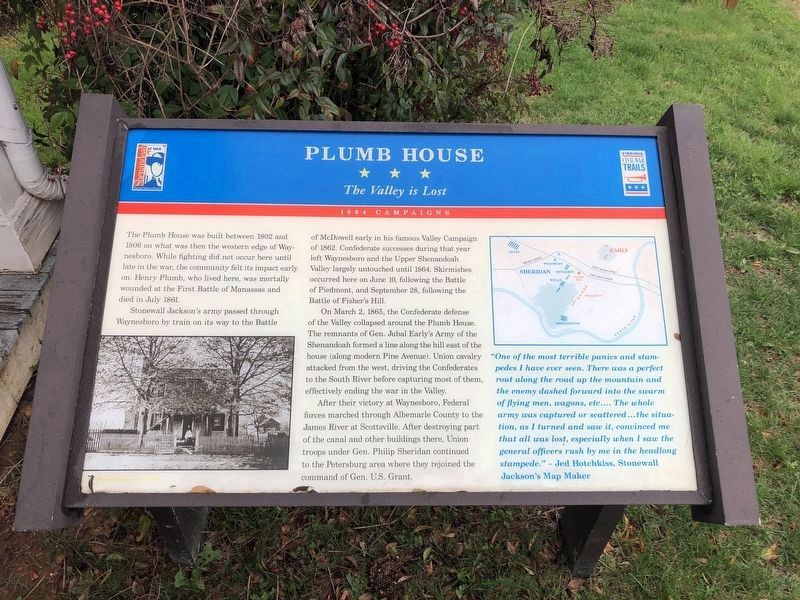
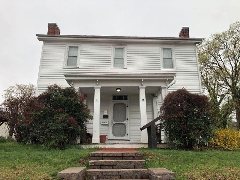
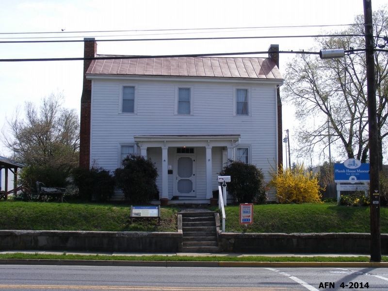
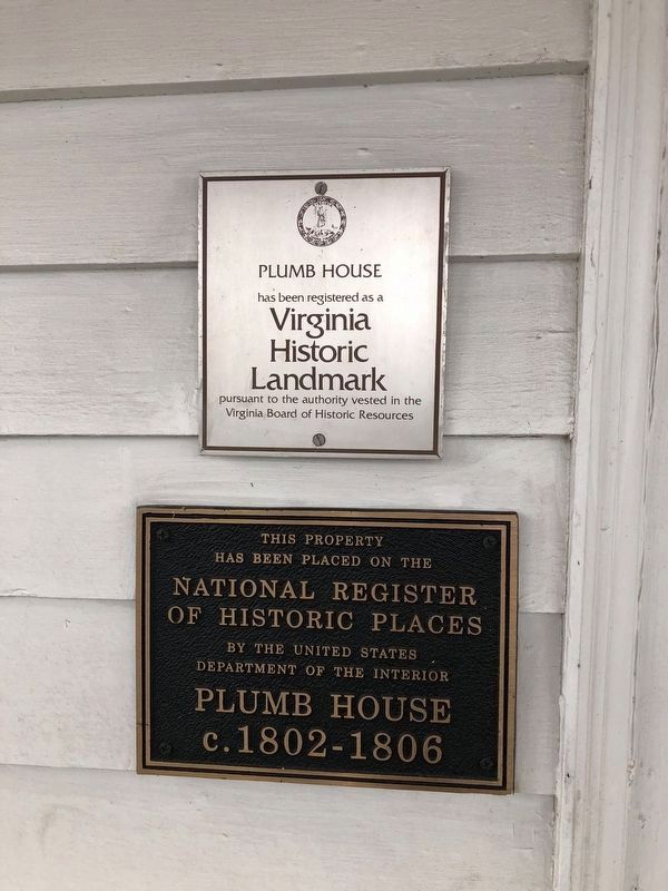
The Plumb House was built between 1802 and 1806 on what was then the western edge of Waynesboro. While fighting did not occur here until late in the war, the community felt its impact early on. Henry Plumb, who lived here, was mortally wounded at the First Battle of Manassas and died in July 1861.
Stonewall Jackson’s army passed through Waynesboro by train on its way to the Battle of McDowell early in his famous Valley Campaign of 1862. Confederate successes during that year left Waynesboro and the Upper Shenandoah Valley largely untouched until 1864. Skirmishes occurred here on June 10, following the Battle of Piedmont, and September 28, following the Battle of Fisher’s Hill.
On March 2, 1865, the Confederate defense of the Valley collapsed around the Plumb House. The remnants of Gen. Jubal Early’s Army of the Shenandoah formed a line along the hill east of the house (along modern Pine Avenue). Union cavalry attacked from the west, driving the Confederates to the South River before capturing most of them, effectively ending the war in the Valley.
After their victory at Waynesboro, Federal forces marched through Albemarle County to the James River at Scottsville. After destroying part of the canal and other buildings there, Union troops under Gen. Philip Sheridan continued to the Petersburg area where they rejoined the command of Gen. U.S. Grant.
“One of the most terrible panics and stampedes I have ever seen. There was a perfect rout along the road up the mountain and the enemy dashed forward into the swarm of flying men, wagons, etc…. The whole army was captured or scattered… the situation, as I turned and saw it, convinced me that all was lost, especially when I saw the general officers rush by me in the headlong stampede.” – Jed Hotchkiss, Stonewall Jackson’s Map Maker.
Erected by Shenandoah Valley Battlefields Foundation and Virginia Civil War Trails.
Topics and series. This historical marker is listed in this topic list: War, US Civil. In addition, it is included in the Former U.S. Presidents: #18 Ulysses S. Grant, and the Virginia Civil War Trails series lists. A significant historical date for this entry is March 2, 1865.
Location. 38° 4.19′ N, 78° 53.734′ W. Marker is in Waynesboro, Virginia. Marker is on West Main Street (U.S. 340), on the right when traveling east. Touch for map. Marker is at or near this postal address: 1012 West Main Street, Waynesboro VA 22980, United States of America. Touch for directions.
Other nearby markers. At least 8 other markers are within walking distance of this marker. Wooden Water Pipe (a few steps from this marker); Fishburne Military School (approx. 0.3 miles away); Waynesboro (approx. 0.4 miles away); Early’s Last Battle
More about this marker. In the lower left is a photo of the Plumb House, circa 1870. On the right is a map showing the tactical disposition of units in the battle of Plumb House.
Photographed By Devry Becker Jones (CC0), April 9, 2021
5. Virginia Historic Landmark and National Register of Historic Places plaques on the house
Credits. This page was last revised on April 11, 2021. It was originally submitted on March 4, 2009, by Robert H. Moore, II of Winchester, Virginia. This page has been viewed 2,387 times since then and 40 times this year. Last updated on April 10, 2021, by Bradley Owen of Morgantown, West Virginia. Photos: 1, 2. submitted on April 10, 2021, by Devry Becker Jones of Washington, District of Columbia. 3. submitted on August 11, 2017, by Pete Payette of Orange, Virginia. 4. submitted on March 4, 2009, by Robert H. Moore, II of Winchester, Virginia. 5. submitted on April 10, 2021, by Devry Becker Jones of Washington, District of Columbia. • Bernard Fisher was the editor who published this page.
