Thunder Bay in Thunder Bay District, Ontario — Central Canada (North America)
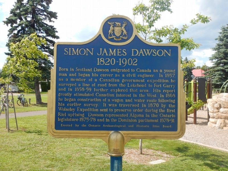
Simon James Dawson
1820-1902
Born in Scotland, Dawson emigrated to Canada as a young man and began his career as a civil engineer. In 1857 as a member of a Canadian government expedition, he surveyed a line of road from the Lakehead to Fort Garry and in 1858-59 further explored that area. His report greatly stimulated Canadian interest in the West. In 1868 he began construction of a wagon and water route following his earlier survey. It was traversed in 1870 by the Wolseley Expedition sent to preserve order during the first Riel uprising. Dawson represented Algoma in the Ontario legislature 1875-78 and in the Dominion parliament 1878-91.
Erected by Archaeological and Historic Sites Board of Ontario.
Topics. This historical marker is listed in these topic lists: Exploration • Roads & Vehicles • Settlements & Settlers. A significant historical year for this entry is 1820.
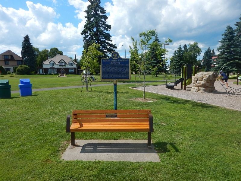
Location. 48° 26.131′ N, 89° 14.03′ W. Marker is in Thunder Bay, Ontario, in Thunder Bay District. Marker is at the intersection of Colonel Keene Drive and High Street South, on the right when traveling south on Colonel Keene Drive. Marker is located in Hillcrest Park. Touch for map. Marker is in this post office area: Thunder Bay ON P7B 3K5, Canada. Touch for directions.
Other nearby markers. At least 8 other markers are within walking distance of this marker. Cummins Site (about 180 meters away, measured in a direct line); Historic Church (approx. half a kilometer away); Port Arthur Collegiate Institute (approx. half a kilometer away); Col. Elizabeth Smellie 1884-1968 (approx. 0.6 kilometers away); The Major Christopher Patrick John O'Kelly, VC Armoury (approx. 0.6 kilometers away); Hogarth Fountain (approx. 0.6 kilometers away); Port Arthur Cenotaph (approx. 0.6 kilometers away); Trinity Centennial (approx. 0.7 kilometers away). Touch for a list and map of all markers in Thunder Bay.
Also see . . . Wikipedia - Simon James Dawson. (Submitted on August 11, 2017, by Kevin Craft of Bedford, Quebec.)
Credits. This page was last revised on January 1, 2020. It was originally submitted on August 11, 2017, by Kevin Craft of Bedford, Quebec. This page has been viewed 228 times since then and 6 times this year. Photos: 1, 2. submitted on August 11, 2017, by Kevin Craft of Bedford, Quebec.

