Near Mears in Oceana County, Michigan — The American Midwest (Great Lakes)
Petite Pointe Au Sable Lighthouse
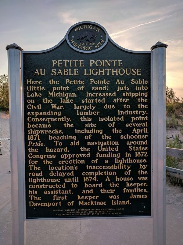
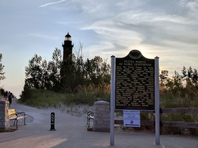
Here the Petite Pointe Au Sable (little point of sand) juts into Lake Michigan. Increased shipping on the lake started after the Civil War, largely due to the expanding lumber industry. Consequently, this isolated point became the site of several shipwrecks, including the April 1871 beaching of the schooner Pride. To aid in navigation around the hazard, the United States Congress approved funding in 1872 for the erection of a lighthouse. The location's inaccessibility by road delayed the completion of the lighthouse until 1874. A house was constructed to board the keeper, his assistant, and their families. The first keeper was James Davenport of Mackinac Island.
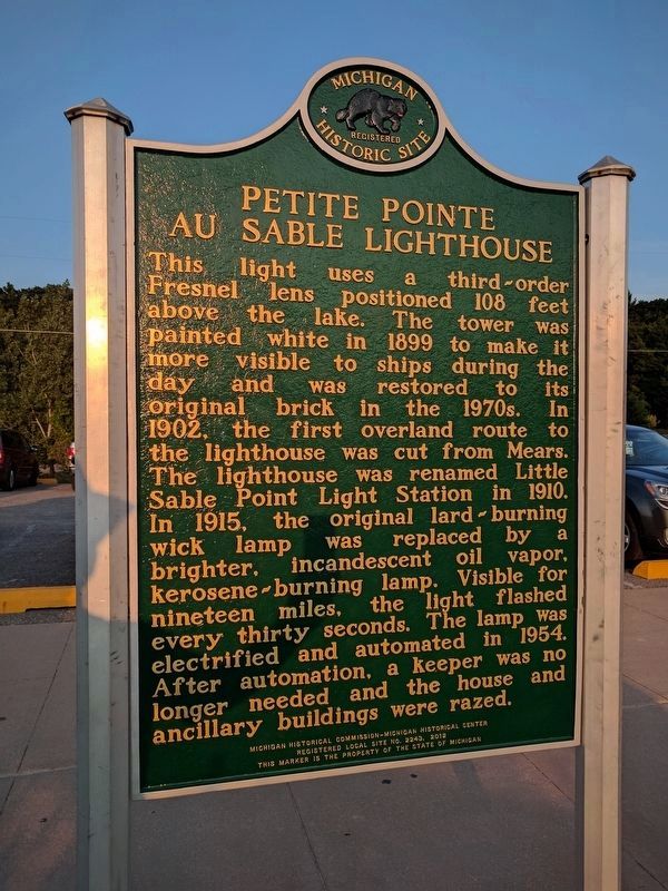
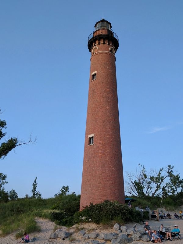
This light uses a third-order Fresnel lens positioned 108 feet above the lake. The tower was painted white in 1899 to make it more visible to ships during the day and was restored to its original brick in the 1970s. In 1902, the first overland route to the lighthouse was cut from Mears. The lighthouse was renamed Little Sable Point Light Station in 1910. In 1915, the original lard-burning wick lamp was replaced by a brighter, incandescent oil vapor, kerosene-burning lamp. Visible for nineteen miles, the light flashed every thirty seconds. The lamp was electrified and automated in 1954. After automation, a keeper was no longer needed and the house and ancillary buildings were razed.
Erected 2012 by Michigan Historical Commission- Michigan Historical Center. (Marker Number L2243.)
Topics and series. This historical marker is listed in these topic lists: Communications • Waterways & Vessels. In addition, it is included in the Lighthouses, and the Michigan Historical Commission series lists. A significant historical month for this entry is April 1871.
Location. 43° 39.084′ N, 86° 32.295′ W. Marker is near Mears, Michigan, in Oceana County. Marker is on North Lighthouse Drive, 1.2 miles west of North 14th Avenue, on the right when traveling south. Marker is in Silver Lake State Park. Touch for map. Marker is at or near this postal address: 287 North Lighthouse Drive, Mears MI 49436, United States of America. Touch for directions.
Other nearby markers. At least 8 other markers are within 11 miles of this marker, measured as the crow flies. John Gurney Park / Auto Tourist Camps (approx. 9.7 miles away); Brass Anchor (approx. 10.2 miles away); Graveyard of Ships / Veterans' Day Storm (approx. 10.2 miles away); Ships and Shipping (approx. 10.2 miles away); The Lumber Industry (approx. 10.2 miles away); Pentwater Wire Products (approx. 10.2 miles away); Lites Drug Store (approx. 10.3 miles away); White Elephant (approx. 10.3 miles away).
Regarding Petite Pointe Au Sable Lighthouse. The lighthouse is now called the Little Sable Point Light Station Tower.
Also see . . . Little Sable Point Light. Wikipedia article (Submitted on August 14, 2017, by Joel Seewald of Madison Heights, Michigan.)
Credits. This page was last revised on December 8, 2020. It was originally submitted on August 14, 2017, by Joel Seewald of Madison Heights, Michigan. This page has been viewed 323 times since then and 22 times this year. Photos: 1, 2, 3, 4. submitted on August 14, 2017, by Joel Seewald of Madison Heights, Michigan.


