Hamstead near Westerville in Franklin County, Ohio — The American Midwest (Great Lakes)
Blendon Township's Early Presbyterian Churches and Church Bell
Inscription.
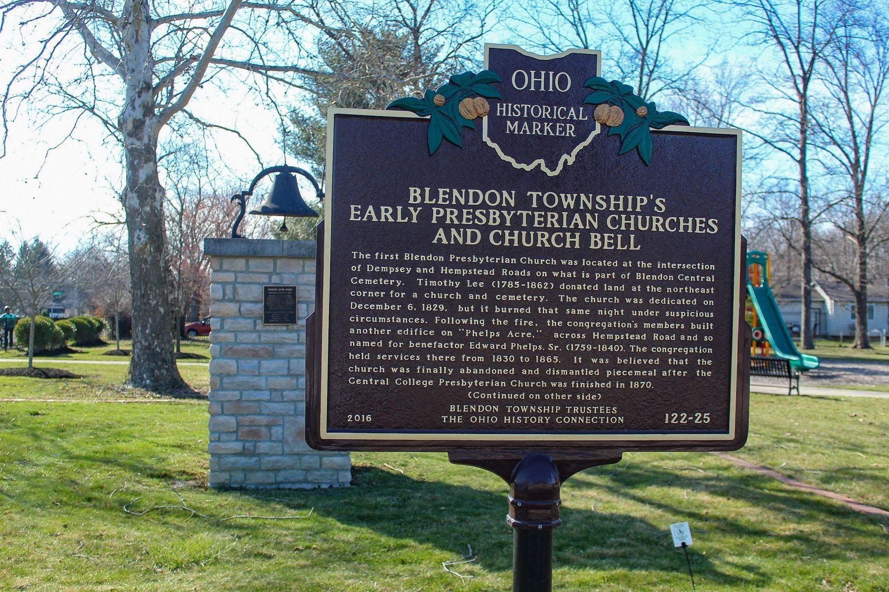
The first Blendon Presbyterian Church was located at the intersection of Dempsey and Hempstead Roads on what is part of Blendon Central Cemetery. Timothy Lee (1785-1862) donated land at the northeast corner for a church and cemetery. The church was dedicated on December 6, 1829, but it burned that same night under suspicious circumstances. Following the fire, the congregation’s members built another edifice on “Phelps Acre,” across Hempstead Road and so named for benefactor Edward Phelps. Sr. (1759-1840). The congregation held services there from 1830 to 1865. It was believed that the church was finally abandoned and dismantled piecemeal after the Central College Presbyterian Church was finished in 1870.
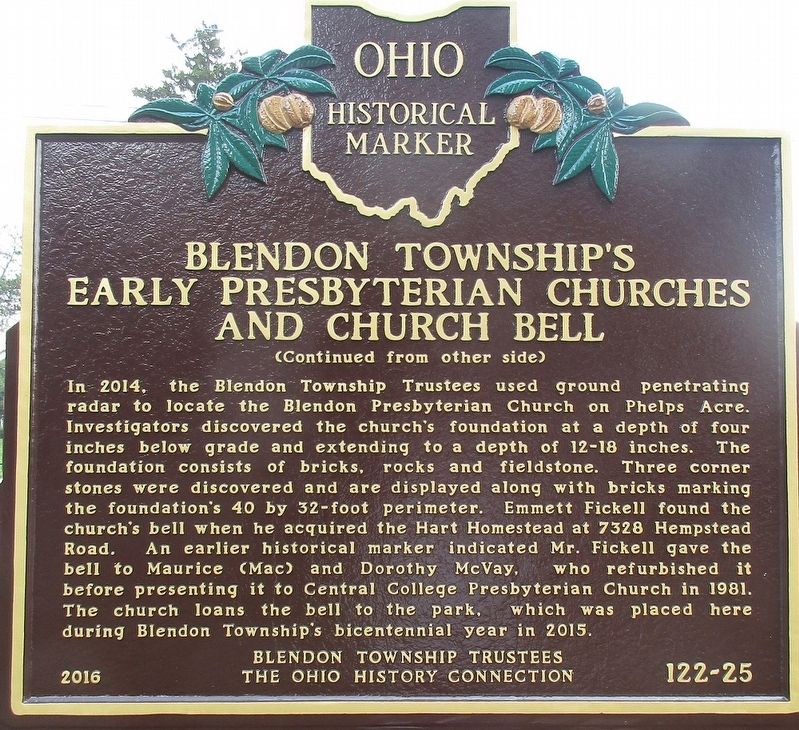
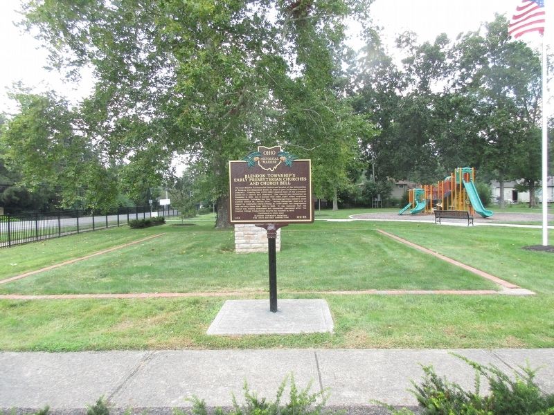
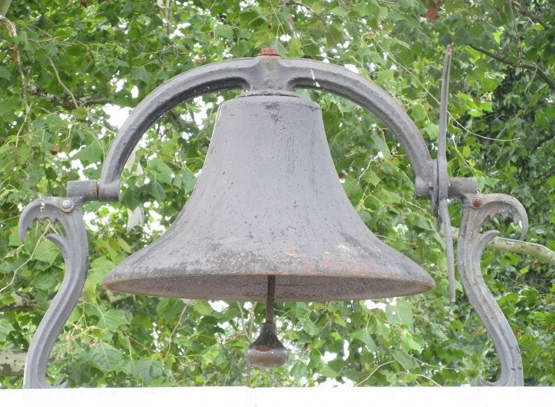
In 2014, the Blendon Township Trustees used ground penetrating radar to locate the Blendon Presbyterian Church on Phelps Acre. Investigators discovered the church’s foundation at a depth of four inches below grade and extending to a depth of 12-18 inches. The foundation consists of bricks, rocks and fieldstone. Three corner stones were discovered and are displayed along with bricks marking the foundation’s 40 by 32-foot perimeter. Emmett Fickell found the church’s bell when he acquired the Hart Homestead at 7328 Hempstead Road. An earlier historical marker indicated Mr. Fickell gave the bell to Maurice (Mac) and Dorothy McVay, who refurbished it before presenting it to Central College Presbyterian Church in 1981. The church loans the bell to the park, which was placed here during Blendon Township’s bicentennial year in 2015.
Erected 2016 by Blendon Township Trustees, The Ohio History Connection. (Marker Number 122-2.)
Topics and series. This historical marker is listed in these topic lists: Churches & Religion • Settlements & Settlers. In addition, it is included in the Historic Bells, and the Ohio Historical Society / The Ohio History Connection series lists.
Location. 40° 5.703′ N, 82° 54.349′ W. Marker is near Westerville, Ohio, in Franklin County. It is in Hamstead. Marker is on South Hempstead Road near Dempsey Road, on the right when traveling south. Marker is in Phelps Acre Park. Touch for map. Marker is at or near this postal address: 3732 Dempsey Road, Westerville OH 43081, United States of America. Touch for directions.
Other nearby markers. At least 8 other markers are within 2 miles of this marker, measured as the crow flies. Phelps Acre Park (here, next to this marker); Edward Phelps (within shouting distance of this marker); First Blendon Presbyterian Church (within shouting distance of this marker); Blendon Central Cemetery (about 500 feet away, measured in a direct line); Blendon Township War Memorial
(about 600 feet away); The Ellsworth Chapel (approx. 0.9 miles away); Central College Presbyterian Church (approx. 0.9 miles away); Pioneer Cemetery Armed Forces Memorial (approx. 1.3 miles away). Touch for a list and map of all markers in Westerville.
More about this marker. Note: this marker was originally installed across the road in Central Cemetery
Note: this marker, and “First Jain Temple in Central Ohio”, are both numbered 122- 25
Note: this marker is not to be confused with OHS #10- 25, #6- 25, #4- 25,or #3- 25
Related marker. Click here for another marker that is related to this marker. The linked marker was replaced by the marker on this profile, which has new information.
Credits. This page was last revised on May 15, 2023. It was originally submitted on August 17, 2017, by Rev. Ronald Irick of West Liberty, Ohio. This page has been viewed 274 times since then and 13 times this year. Photos: 1. submitted on May 14, 2023, by Alex Krempasky of Obetz, Ohio. 2, 3, 4. submitted on August 17, 2017, by Rev. Ronald Irick of West Liberty, Ohio. • Bill Pfingsten was the editor who published this page.


