Purcellville in Loudoun County, Virginia — The American South (Mid-Atlantic)
Ambush at Purcellville
“…we found in the road many broken down and burned wagons…”
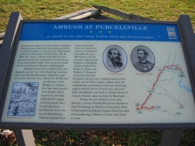
Although Union forces shelled Early and doggedly pursued him after departing Leesburg that morning, his destination remained a mystery to the Federals. Alfred N.A. Duffié sent the 300 men of Col. William B. Tibbetts’ 21st New York Cavalry from Harpers Ferry in pursuit, and they found Early’s wagon train passing by here in mid-afternoon. Dividing his force into several detachments, Tibbetts attacked furiously all along the train. In a matter of minutes, the Federals had captured some 200 wagons and 150 prisoners. Hearing the firefight, Confederate infantry under Gens. Robert E. Rodes and Stephen D. Ramseur marched on the double-quick from the rear, counterattacking with cavalry and artillery support. Before long, the Confederates successfully reclaimed 118 of their wagons and all but 54 of those men captured. Still, the Federals sent back to Harpers Ferry 37 wagons of booty taken by Early in Maryland.
Seeing the last of Early’s forces pass through, curious Purcellville citizens flocked to view the damage at Heaton’s Crossroads. Some 43 destroyed Confederate wagons lined the road, still smoldering, evidence of a war come home to roost.
Erected by Virginia Civil War Trails.
Topics and series. This historical marker is listed in this topic list: War, US Civil. In addition, it is included in the Virginia Civil War Trails series list. A significant historical date for this entry is July 16, 1864.
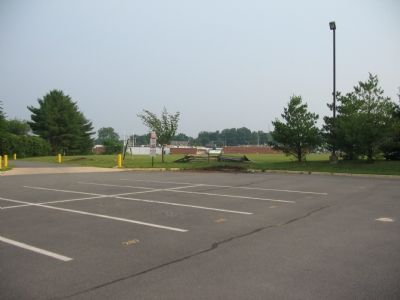
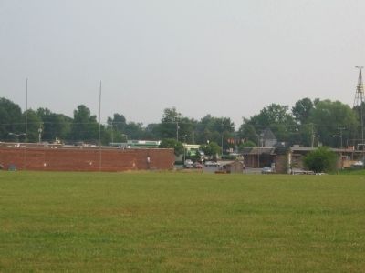
Location. 39° 8.411′ N, 77° 42.219′ W. Marker is in Purcellville, Virginia, in Loudoun County. Marker is on North Maple Avenue north of East Main Street (Business Virginia Route 7), on the right when traveling east. The marker is on the west side of the Loudoun Valley High School parking lot. Between the athletic fields and the school building. Touch for map. Marker is at or near this postal address: 340 N Maple Ave, Purcellville VA 20132, United States of America. Touch for directions.
Other nearby markers. At least 10 other markers are within walking distance of this marker. Electric Trains on the W&OD (about 500 feet away, measured in a direct line); Mahlon Taylor Springhouse (approx. half a mile away); Tracks into History (approx. half a mile away); Attacked at Purcellville (approx. 0.6 miles away); Mother of the Wright Brothers (approx. 0.6 miles away); Killed in Action Memorial (approx.
0.6 miles away); Washington & Old Dominion Railroad Regional Park (approx. 0.6 miles away); The Case Building (approx. 0.7 miles away); A Little History (approx. 0.7 miles away); Purcellville Station (approx. 0.7 miles away). Touch for a list and map of all markers in Purcellville.
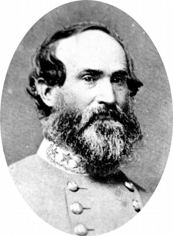
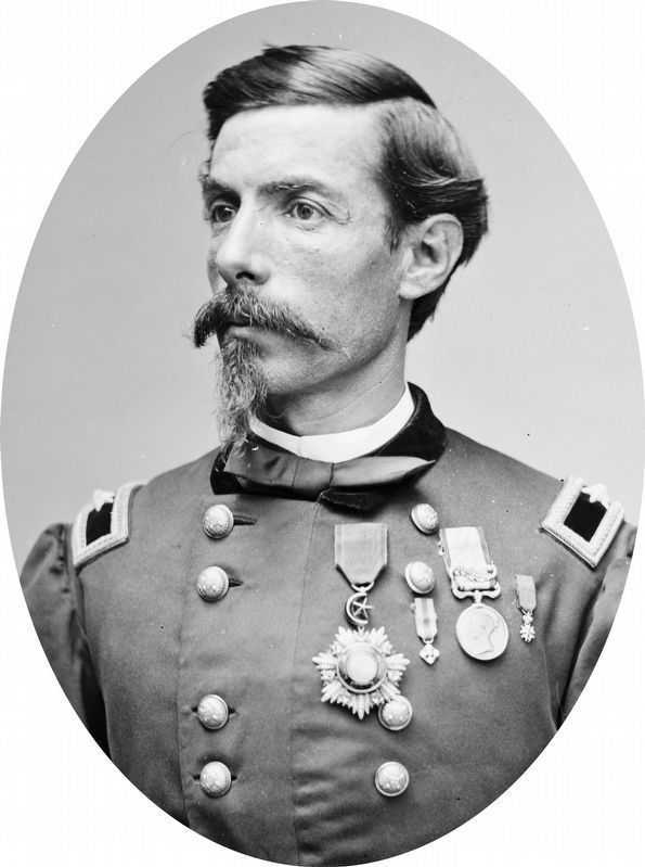
More about this marker. On the lower left is a 19th century map showing "Purcellville and its environs, 1864." Portraits of Gens. Early and Duffie are above a map showing the movements of Early's 1864 Raid on Washington.
Regarding Ambush at Purcellville. The ground where the skirmish and events described on the marker have been lost to time with the expansion of the town. The place name Heaton’s Crossroads is used from historical reports.
Additional commentary.
1. Is the marker still at this location
I went by yesterday 5/10/17 and I could not find the marker in the school parking lot. Does any know if this marker got moved to the new location that is more downtown? Note To Editor only visible by Contributor and editor
— Submitted May 11, 2017, by William Glahn of Winchester, Virginia.
Credits. This page was last revised on November 20, 2020. It was originally submitted on June 3, 2007, by Craig Swain of Leesburg, Virginia. This page has been viewed 3,524 times since then and 115 times this year. Photos: 1. submitted on June 3, 2007, by Craig Swain of Leesburg, Virginia. 2, 3. submitted on June 18, 2007, by Craig Swain of Leesburg, Virginia. 4, 5. submitted on November 18, 2020, by Allen C. Browne of Silver Spring, Maryland. • J. J. Prats was the editor who published this page.
