Burkeville in Newton County, Texas — The American South (West South Central)
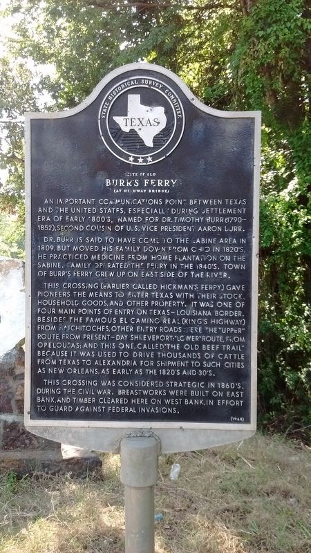
Site of Old Burrís Ferry
(At Highway Bridge)
Dr. Burr is said to have come to the Sabine area in 1809, but moved his family down from Ohio in 1820ís. He practiced medicine from home plantation on the Sabine. Family operated the ferry in the 1840ís. Town of Burrís Ferry grew up on east side of the river.
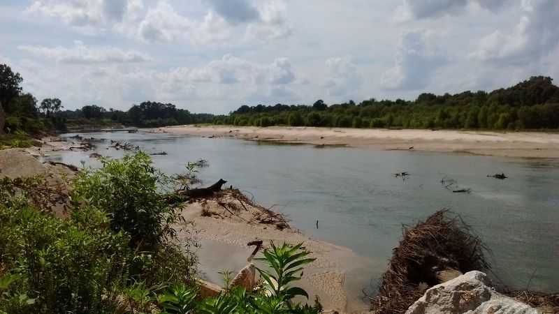
This crossing (earlier called Hickmanís Ferry) gave pioneers the means to enter Texas with their stock, household goods, and other property. It was one of four main points of entry on Texas–Louisiana border. Besides the famous El Camino Real (Kingís Highway) from Natchitoches, other entry roads were the “Upper” Route, from present-day Shreveport; “Lower” Route, from Opelousas; and this one, called “The Old Beef Trail” because it was used to drive thousands of cattle from Texas to Alexandria for shipment to such cities as New Orleans, as early as the 1820ís and 30ís.
This crossing was considered strategic in 1860ís, during the Civil War. Breastworks were built on east bank, and timber cleared here on west bank in effort to guard against Federal invasions.
Erected 1968 by Texas Historical Commission. (Marker Number 11107.)
Topics. This historical marker is listed in these topic lists: Roads & Vehicles • Settlements & Settlers • War, US Civil • Waterways & Vessels. A significant historical year for this entry is 1809.
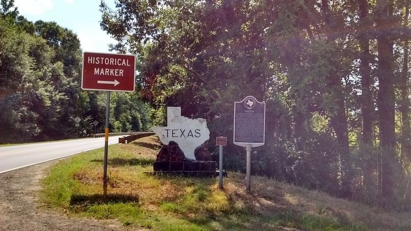
Location. 31° 3.853′ N, 93° 31.486′ W. Marker is in Burkeville, Texas, in Newton County. Marker is on State Highway 63, 0.3 miles east of County Highway 2120, on the left when traveling east. Touch for map. Marker is in this post office area: Burkeville TX 75932, United States of America. Touch for directions.
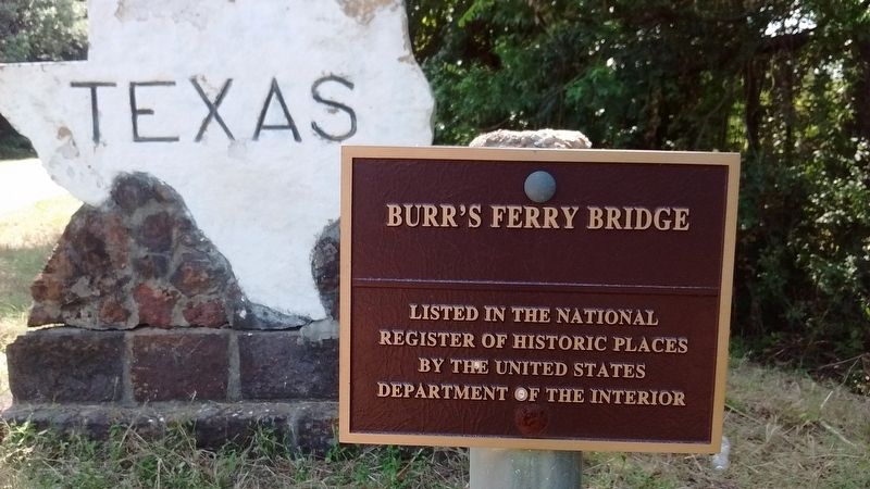
Other nearby markers. At least 6 other markers are within 12 miles of this marker, measured as the crow flies. Burr Ferry (approx. ĺ mile away in Louisiana); Burr's Ferry Earthworks (approx. ĺ mile away in Louisiana); Cade Building (approx. 9.7 miles away); The Survey Community (approx. 11.6 miles away); Mattox Cemetery (approx. 11.8 miles away); The Old Beef Road (approx. 12.1 miles away).
Credits. This page was last revised on August 21, 2017. It was originally submitted on August 18, 2017, by Tom Bosse of Jefferson City, Tennessee. This page has been viewed 619 times since then and 66 times this year. Photos: 1, 2, 3, 4, 5. submitted on August 18, 2017, by Tom Bosse of Jefferson City, Tennessee. • Bernard Fisher was the editor who published this page.


