John Day in Grant County, Oregon — The American West (Northwest)
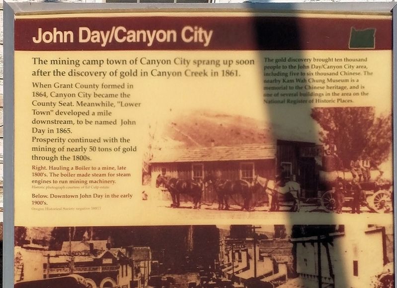
John Day/Canyon City
The mining camp town of Canyon City sprang up soon after the discovery of gold in Canyon Creek in 1861 (Note: actually June of 1862).
When Grant County was formed in 1864 Canyon City became the county seat. Meanwhile, "Lower Town" developed a mile downstream to be named John Day in 1865. Prosperity continued with the mining of nearly 50 tons of gold through the 1800s.
The gold brought 10,000 people to the John Day/Canyon City area, including five to six thousand Chinese. The nearby Kam Wah Chung museum is a memorial to the Chinese heritage and is one of several buildings in the area on the National Register of Historic Places.
Topics. This historical marker is listed in these topic lists: Asian Americans • Industry & Commerce • Settlements & Settlers. A significant historical year for this entry is 1862.
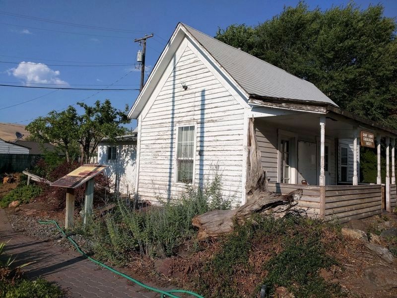
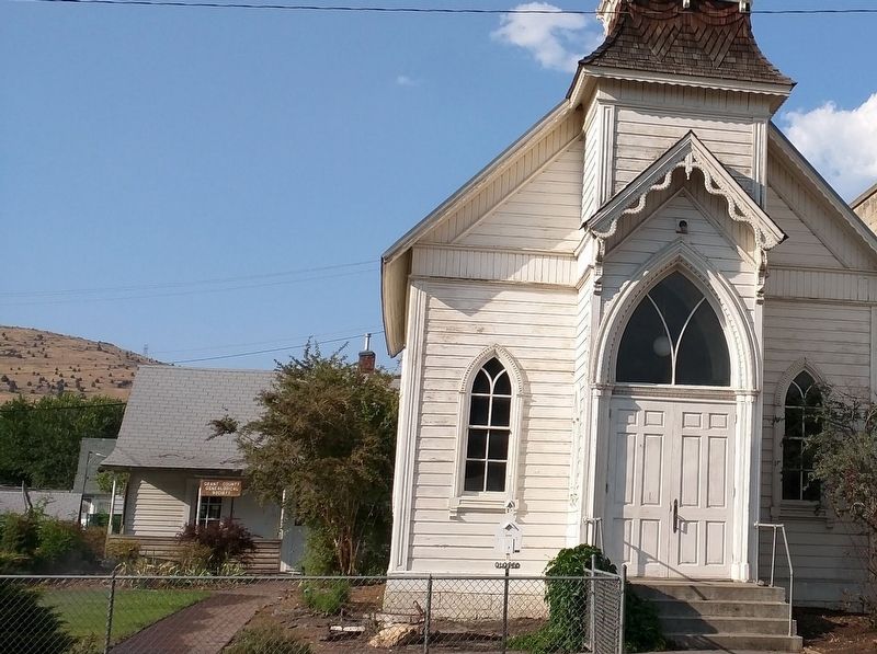
Location. 44° 24.981′ N, 118° 57.258′ W. Marker is in John Day, Oregon, in Grant County. Marker is on Northwest Bridge Street just north of West Main Street (U.S. 26), on the right when traveling north. The marker is in front of the small clergy house, now housing the Grant County Genealogical Society, adjacent to the historic Adventist church. Touch for map. Marker is in this post office area: John Day OR 97845, United States of America. Touch for directions.
Other nearby markers. At least 8 other markers are within 2 miles of this marker, measured as the crow flies. The Advent Christian Church (a few steps from this marker); The Adventist Christian Church (about 400 feet away, measured in a direct line); Welcome to Kam Wah Chung (approx. 0.2 miles away); Kam Wah Chung Company Building (approx. 0.2 miles away); Civilian Conservation Corps (approx. ¼ mile away); As told by an old timer (approx. 1.8 miles away); Welcome To Canyon City (approx. 1.9 miles away); Canyon City Mural (approx. 1.9 miles away). Touch for a list and map of all markers in John Day.
Credits. This page was last revised on September 14, 2017. It was originally submitted on August 28, 2017, by Don Hann of Canyon City, Oregon. This page has been viewed 192 times since then and 19 times this year. Photos: 1, 2, 3. submitted on August 28, 2017, by Don Hann of Canyon City, Oregon. • Syd Whittle was the editor who published this page.


