John Day in Grant County, Oregon — The American West (Northwest)
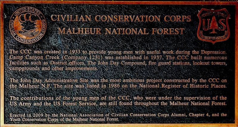
Civilian Conservation Corps
Malheur National Forest
The John Day Administrative Site was the most ambitious project constructed by the CCC on the Malheur N.F. The site was listed in 1986 on the National Register of Historic Places.
The contributions of the young men of the CCC, under the supervision of the US Army and the US Forest Service, are still found throughout the Malheur National Forest.
Erected 2009 by National Association of Civilian Conservation Corps Alumni, Chapter 4.
Topics and series. This historical marker is listed in these topic lists: Charity & Public Work • Government & Politics • Horticulture & Forestry. In addition, it is included in the Civilian Conservation Corps (CCC) series list. A significant historical year for this entry is 1937.
Location. 44° 25.088′ N, 118° 57.539′ W. Marker is in John Day, Oregon, in Grant County. Marker is on Bremner Pass Road near West Main Street (Oregon Route 26), on the right when traveling west. Touch for map. Marker is in this post office area: John Day OR 97845, United States of America. Touch for directions.
Other nearby markers. At least 8 other markers are within 3 miles of this marker, measured as the crow flies. Kam Wah Chung Company Building (about 600 feet away, measured in a direct line); Welcome to Kam Wah Chung (approx. 0.2 miles away); John Day/Canyon City (approx. ¼ mile away); The Advent Christian Church (approx. ¼ mile away); The Adventist Christian Church (approx. 0.3 miles away); As told by an old timer (approx. 2.1 miles away); Welcome To Canyon City (approx. 2.1 miles away); Canyon City Mural (approx. 2.1 miles away). Touch for a list and map of all markers in John Day.
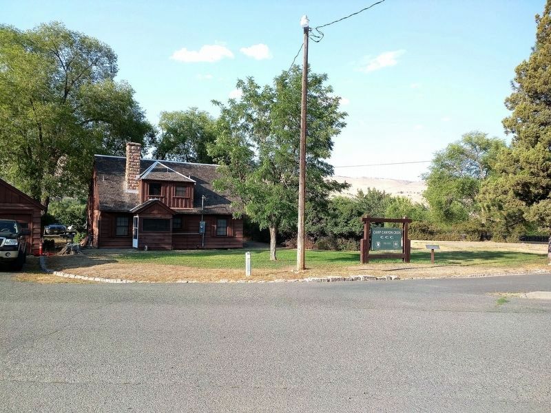
More about this marker. Bremner Pass Road is a small access road leading into the Forest Service compound in John Day. It is not on most GPS navigation systems. To reach the marker from Highway 26 turn north towards the hospital on Ford Road. Bremner Pass road is the first road on the right as you head up the hill. The marker is visible as you head towards the compound on Bremner Pass Road. Park in the signed visitor parking at the left before you enter the gate into the fenced (and off limits) part of the compound.
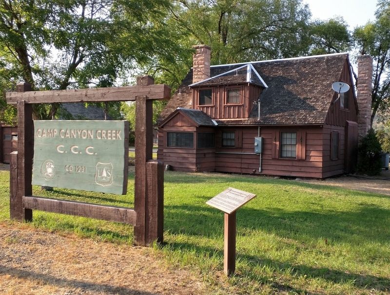
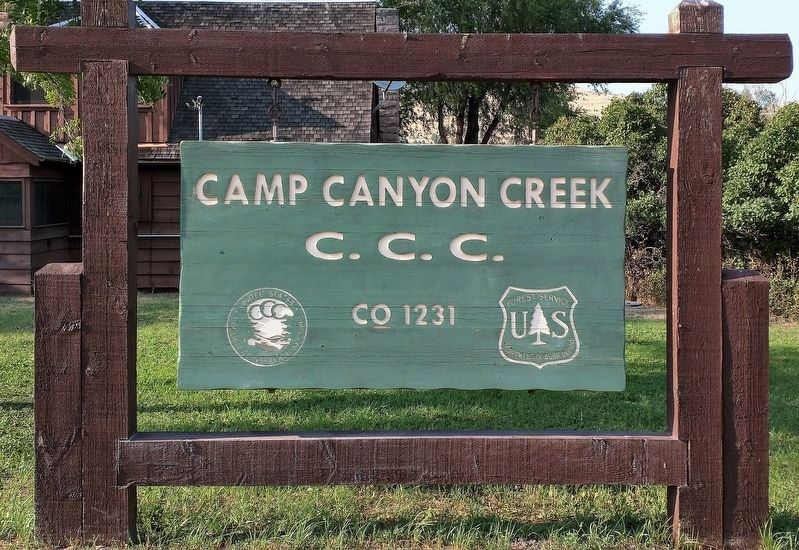
Regarding Civilian Conservation Corps. This site is the John Day Administrative Site built by Company 1231 of the C.C.C. The camp itself was dismantled when it was disbanded during World War Two. It was located about
11 miles south of town along Canyon Creek. The location is now private property.
Credits. This page was last revised on September 14, 2017. It was originally submitted on August 28, 2017, by Don Hann of Canyon City, Oregon. This page has been viewed 263 times since then and 30 times this year. Photos: 1, 2, 3, 4. submitted on August 28, 2017, by Don Hann of Canyon City, Oregon. • Syd Whittle was the editor who published this page.


