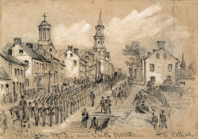
Middletown in Frederick County, Maryland — The American Northeast (Mid-Atlantic)
Middletown in the Path of War
1862-1864
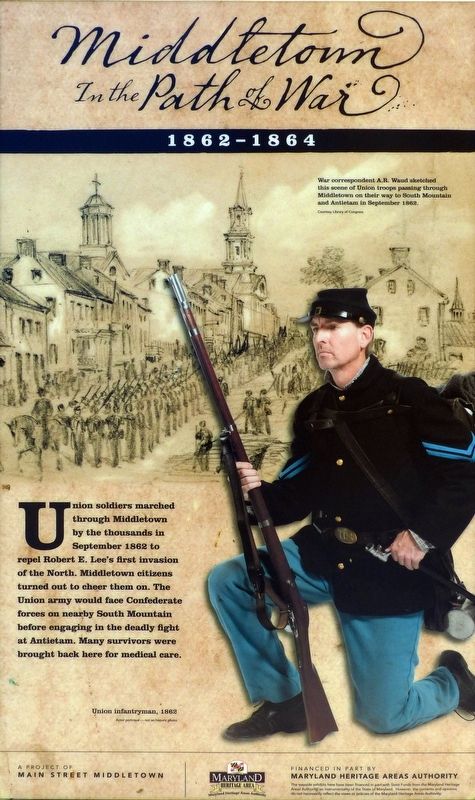
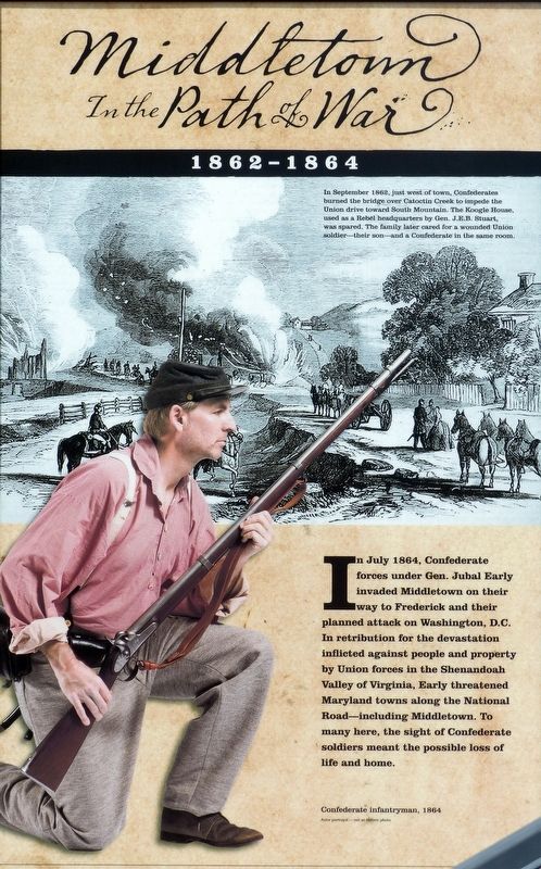
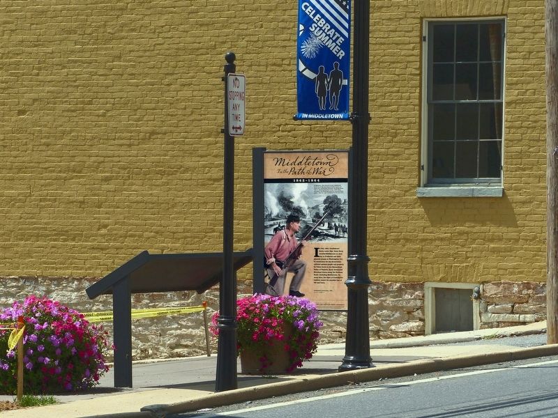
In July 1864, Confederate forces under Gen. Jubal Early invaded Middletown on their way to Frederick and their planned attack on Washington, D.C. In retribution for the devastation inflicted against people and property by Union forces in the Shenandoah Valley of Virginia, Early threatened Maryland towns along the National Road—including Middletown. To many here, the sight of Confederate soldiers meant the possible loss of life and home.
Erected by Maryland Heritage Areas Authority.
Topics. This historical marker is listed in this topic list: War, US Civil.
Location. 39° 26.63′ N, 77° 32.802′ W. Marker is in Middletown, Maryland, in Frederick County. Marker is at the intersection of West Main Street (Alternate U.S. 40) and South Jefferston Street, on the right when traveling east on West Main Street. Touch for map. Marker is at or near this postal address: near 28 West Main Street, Middletown MD 21769, United States of America. Touch for directions.
Other nearby markers. At least 8 other markers are within walking distance of this marker. Advance, Retreat, and Refuge in Middletown (here, next to this marker); Middletown (here, next to this marker); In Commemoration (a few steps from this marker); 29 West Main Street (a few steps from this marker); Stonebraker and Harbaugh Shafer Building (a few steps from this marker); Valley Savings Bank (within shouting distance of this marker); 31 West Main Street (within shouting distance of this marker); 13 West Main Street (within shouting distance of this marker). Touch for a list and map of all markers in Middletown.
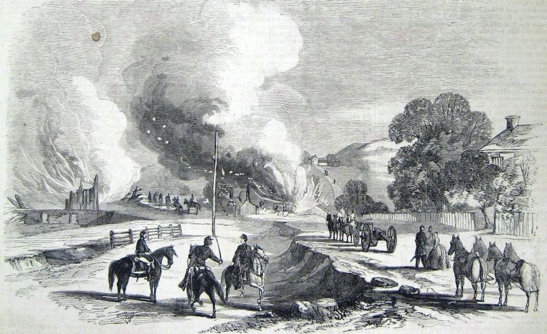
Photographed By Leslie's Weekly Newspaper
6. Burning the Bridge over Catoctin Creek and the Adam Koogle House by F.H. Schell
In September 1862, just west of town, Confederates burned the bridge over Catoctin Creek to impede the Union drive toward South Mountain. The Koogle House, used as a Rebel headquarters by Gen. J.E.B. Stuart, was spared. The family later cared for a wounded Union soldier — their son — and a confederate in the same room.
Credits. This page was last revised on June 27, 2019. It was originally submitted on August 29, 2017, by Allen C. Browne of Silver Spring, Maryland. This page has been viewed 420 times since then and 47 times this year. Photos: 1, 2, 3, 4, 5, 6. submitted on August 29, 2017, by Allen C. Browne of Silver Spring, Maryland. • Bernard Fisher was the editor who published this page.
