Porter in Porter County, Indiana — The American Midwest (Great Lakes)
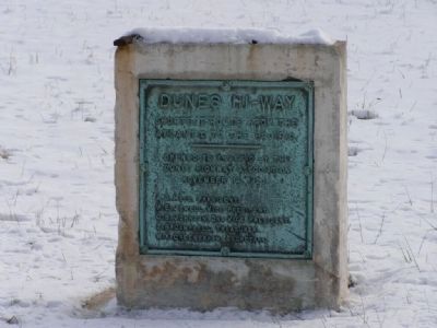
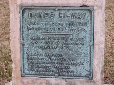
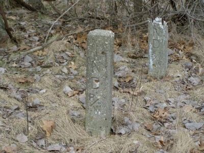
Dunes Hi-Way
Shortest Route from the Atlantic to the Pacific
A.S. Hess, President
W.E. Jewell, Vice President
O.B. Johnson, 2nd Vice President
Z.B. Campbell, Treasurer
W.K. Greenebaum, Secretary
Topics. This historical marker is listed in these topic lists: Notable Events • Roads & Vehicles. A significant historical date for this entry is November 14, 1923.
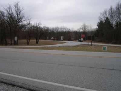
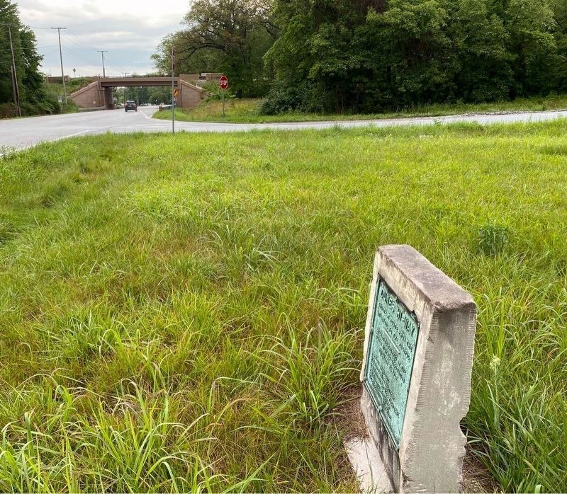
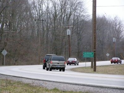
Location. 41° 38.582′ N, 87° 3.84′ W. Marker is in Porter, Indiana, in Porter County. Marker is at the intersection of U.S. 12 and State Road 49 on U.S. 12. The marker is located on the US 12 side of the triangle formed at the on-ramp to State Road 49. Touch for map. Marker is in this post office area: Chesterton IN 46304, United States of America. Touch for directions.
Other nearby markers. At least 8 other markers are within 3 miles of this marker, measured as the crow flies. Iron Brigade (approx. 0.6 miles away); Indiana State Police Dunes Park Post #1 (approx. 0.6 miles away); Le Petit Fort (approx. 1.2 miles away); "Squall Causes Lake Disaster" (approx. 1.3 miles away); Dune Creek Watershed: What Makes It Special? (approx. 1.3 miles away); The J.D. Marshall (approx. 1.3 miles away); Cowles Bog (approx. 1.4 miles away); The Brown Mansion (approx. 2˝ miles away). Touch for a list and map of all markers in Porter.
Credits. This page was last revised on July 3, 2023. It was originally submitted on May 16, 2008, by Christopher Light of Valparaiso, Indiana. This page has been viewed 1,307 times since then and 33 times this year. Last updated on August 26, 2008, by Ian Histor of Calumet City, Illinois. Photos: 1, 2, 3. submitted on May 16, 2008, by Christopher Light of Valparaiso, Indiana. 4. submitted on June 26, 2023, by Lou Donkle of Valparaiso, Indiana. 5, 6. submitted on May 16, 2008, by Christopher Light of Valparaiso, Indiana. • Kevin W. was the editor who published this page.
