Near Strafford in Orange County, Vermont — The American Northeast (New England)
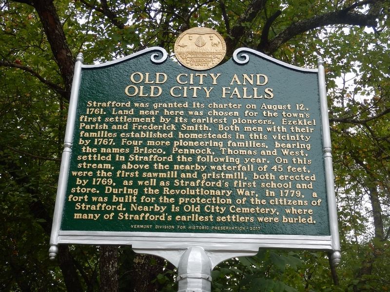
Old City and Old City Falls
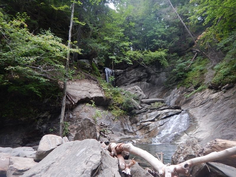
Strafford was granted its charter on August 12, 1761. Land near here was chosen for the town's first settlement by its earliest pioneers, Ezekiel Parish and Frederick Smith. Both men with their families established homesteads in this vicinity by 1767. Four more pioneering families, bearing the names Brisco, Pennock, Thomas and West, settled in Strafford the following year. On this stream, above the nearby waterfall of 45 feet, were the first sawmill and gristmill, both erected by 1769, as well as Strafford's first school and store. During the Revolutionary war, in 1779, a fort was built for the protection of the citizens of Strafford. Nearby is Old City Cemetery, where many of Strafford's earliest settlers were buried.
Erected 2017 by Vermont Division for Historic Preservation.
Topics. This historical marker is listed in these topic lists: Industry & Commerce • Settlements & Settlers • War, US Revolutionary • Waterways & Vessels. A significant historical date for this entry is August 12, 1761.
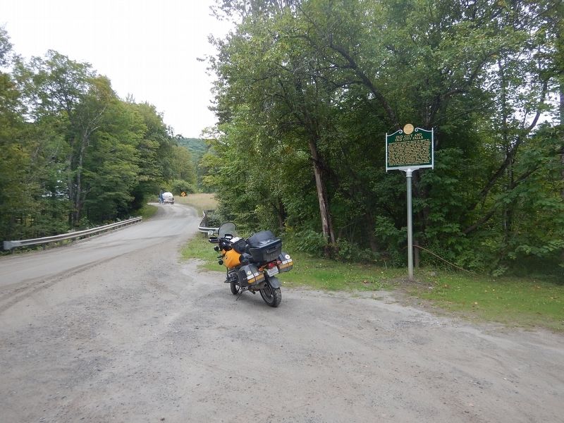
Location. 43° 52.936′ N, 72° 22.203′ W. Marker is near Strafford, Vermont, in Orange County. Marker is on Old City Falls Branch, 0.9 miles north of Justin Morrill Memorial Highway, on the left when traveling north. Marker is located at the entrance to Old City Falls Park. Touch for map. Marker is in this post office area: Strafford VT 05072, United States of America. Touch for directions.
Other nearby markers. At least 8 other markers are within 7 miles of this marker, measured as the crow flies. Strafford (approx. 1.2 miles away); Strafford Village (approx. 1.2 miles away); Justin Smith Morrill / Morrill Homestead (approx. 1.3 miles away); Furnace Flat (approx. 3.8 miles away); Elizabeth Mine (approx. 4.4 miles away); Tunbridge Civil War Memorial (approx. 6.2 miles away); Tunbridge World's Fair (approx. 6.2 miles away); Site of 1780 Raid (approx. 7.1 miles away). Touch for a list and map of all markers in Strafford.
Credits. This page was last revised on August 29, 2017. It was originally submitted on August 29, 2017, by Kevin Craft of Bedford, Quebec. This page has been viewed 303 times since then and 27 times this year. Photos: 1, 2, 3. submitted on August 29, 2017, by Kevin Craft of Bedford, Quebec.


