Fair Haven in Preble County, Ohio — The American Midwest (Great Lakes)
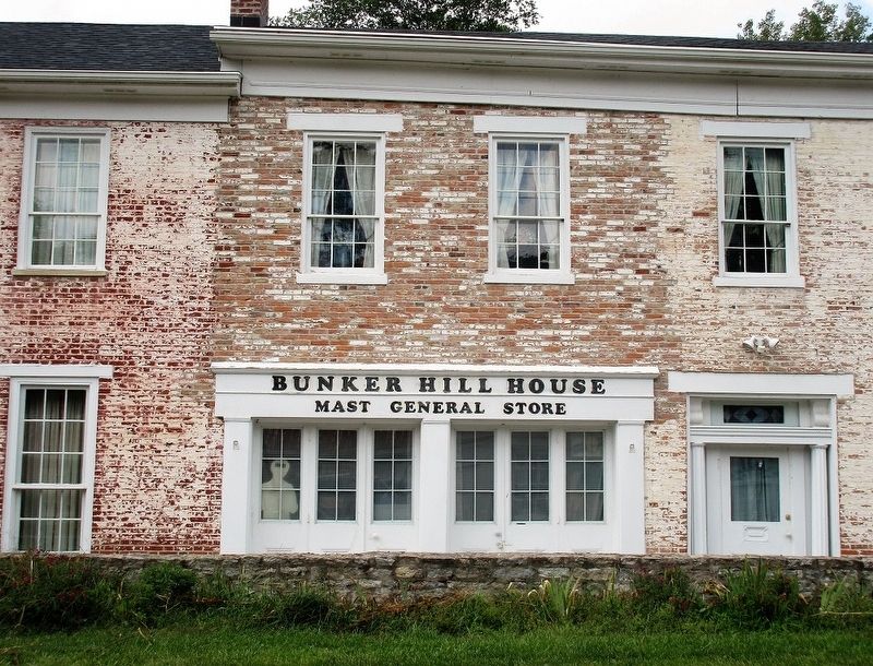
Bunker Hill House
Old Tavern on an Ancient Highway
— An Underground Railroad Site —
Side A
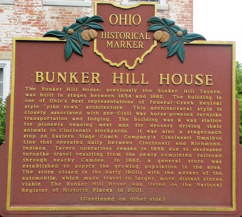
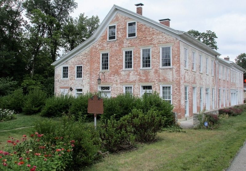
The Bunker Hill House, previously the Bunker Hill Tavern, was built in stages between 1834 and 1862. The building is one of Ohio's best representations of Federal-Greek Revival style "pike town" architecture. This architectural style is closely associated with pre-Civil War horse-powered turnpike transportation and lodging. The building was a way station for pioneers heading west and for drovers driving their animals to Cincinnati stockyards. It was also a stagecoach stop on Eastern Stage Coach Company's Cincinnati Omnibus Line that operated daily between Cincinnati and Richmond, Indiana. Tavern operations ceased in 1858 due to decreased turnpike travel resulting from the newly completed railroad through nearby Camden. In 1862, a general store was established to supply the growing population in the area. The store closed in the early 1900s with the advent of the automobile, which made travel to larger, more distant stores viable. The Bunker Hill House was listed on the National Register of Historic Places in 2001.
Side B
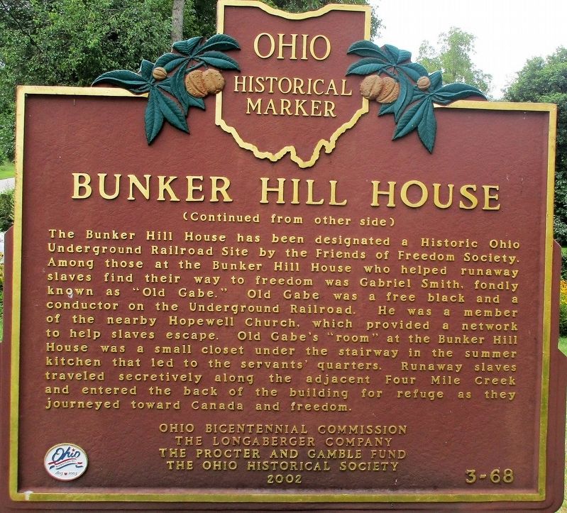
The Bunker Hill House has been designated a Historic Ohio Underground Railroad Site by the Friends of Freedom Society. Among those at the Bunker Hill House who helped runaway slaves find their way to freedom was Gabriel Smith, fondly known as "Old Gabe." Old Gabe was a free black
Erected 2002 by Ohio Bicentennial Commission, The Longaberger Company, The Proctor and Gamble Fund, and The Ohio Historical Society. (Marker Number 3-68.)
Topics and series. This historical marker is listed in these topic lists: Abolition & Underground RR • Architecture • Roads & Vehicles • Settlements & Settlers. In addition, it is included in the Ohio Historical Society / The Ohio History Connection series list.
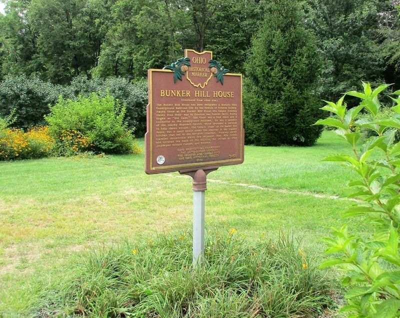
Location. 39° 38.211′ N, 84° 46.326′ W. Marker is in Fair Haven, Ohio, in Preble County. Marker is at the intersection of Main Street (Ohio Route 177) and Newcombe Str, on the left when traveling north on Main Street. Touch for map. Marker is at or near this postal address: 7919 Main Street, Camden OH 45311, United States of America. Touch for directions.
Other nearby markers. At least 8 other markers are within 6 miles of this marker, measured as the crow flies. Historic Hopewell / Historic Hopewell Cemetery (approx. 2.4 miles away); The Union School 1893-2004 (approx. 5 miles away); The Concord Church (approx. 5.3 miles away); College Corner Veterans Memorial (approx. 5.3 miles away in Indiana); The Doty Settlement / The Pioneer Farmstead (approx. 5.4 miles away); Wanted by the FBI / Captured by G-Men (approx. 5˝ miles away in Indiana); The Restoration Movement / Doty Settlement Cemetery (approx. 5˝ miles away); a different marker also named College Corner Veterans Memorial (approx. 5.7 miles away in Indiana).
Additional keywords. Underground Railroad
Credits. This page was last revised on August 20, 2018. It was originally submitted on August 29, 2017, by Rev. Ronald Irick of West Liberty, Ohio. This page has been viewed 1,720 times since then and 249 times this year. Photos: 1, 2, 3, 4, 5. submitted on August 29, 2017, by Rev. Ronald Irick of West Liberty, Ohio. • Bill Pfingsten was the editor who published this page.
