Dumas in Desha County, Arkansas — The American South (West South Central)
Arkansas Indians
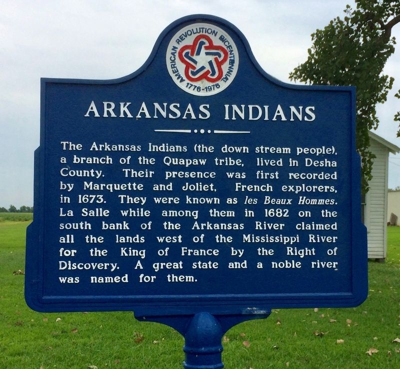
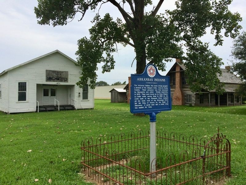
The Arkansas Indians (the down stream people), a branch of the Quapaw tribe, lived in Desha County. Their presence was first recorded by Marquette and Joliet, French explorers, in 1673. They were known as les Beaux Hommes. La Salle while among them in 1682 on the south bank of the Arkansas River claimed all the lands west of the Mississippi River for the King of France by the Right of Discovery. A great state and a noble river was named for them.
Erected 1976 by the Desha County Historical Society.
Topics and series. This historical marker is listed in these topic lists: Exploration • Native Americans • Waterways & Vessels. In addition, it is included in the The Spirit of ’76, America’s Bicentennial Celebration series list. A significant historical year for this entry is 1673.
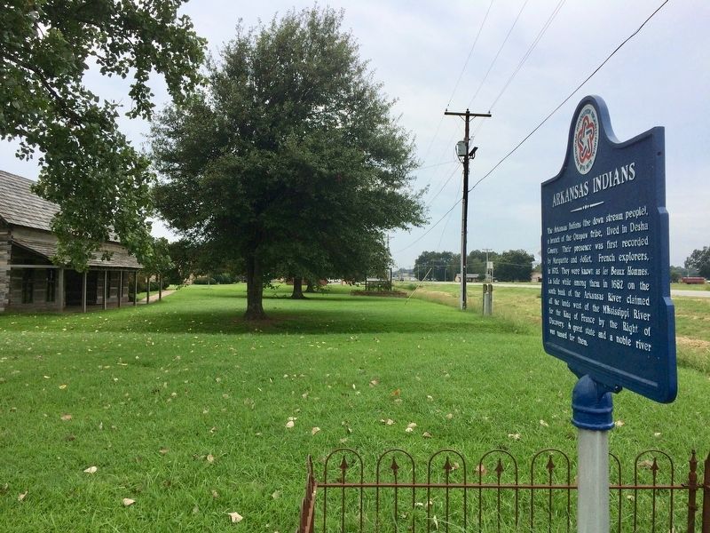
Location. 33° 52.945′ N, 91° 27.983′ W. Marker is in Dumas, Arkansas, in Desha County. Marker is on Pickens Street (U.S. 165) east of Jack Dante Drive, on the right when traveling east. Located at the Desha County Museum. Touch for map. Marker is at or near this postal address: 264 US-165, Dumas AR 71639, United States of America. Touch for directions.
Other nearby markers. At least 8 other markers are within 12 miles of this marker, measured as the crow flies. The American Era (approx. 11½ miles away); Republican France (approx. 11½ miles away); American Townsite (approx. 11.6 miles away); The Post under Spain (approx. 11.6 miles away); The French Period (approx. 11.6 miles away); Stone from Ruins of Old Bank (approx. 11.6 miles away); First Post of Arkansas (approx. 11.6 miles away); The European Settlement (approx. 11.6 miles away).
Also see . . .
1. Marquette-Joliet Expedition. Encyclopedia of Arkansas History entry (Submitted on September 1, 2017, by Mark Hilton of Montgomery, Alabama.)
2. Quapaw Indians. Encyclopedia of Arkansas entry (Submitted on September 1, 2017, by Mark Hilton of Montgomery, Alabama.)
Credits. This page was last revised on March 14, 2021. It was originally submitted on September 1, 2017, by Mark Hilton of Montgomery, Alabama. This page has been viewed 510 times since then and 33 times this year. Photos: 1, 2, 3, 4. submitted on September 1, 2017, by Mark Hilton of Montgomery, Alabama.


