Franklin in St. Mary Parish, Louisiana — The American South (West South Central)
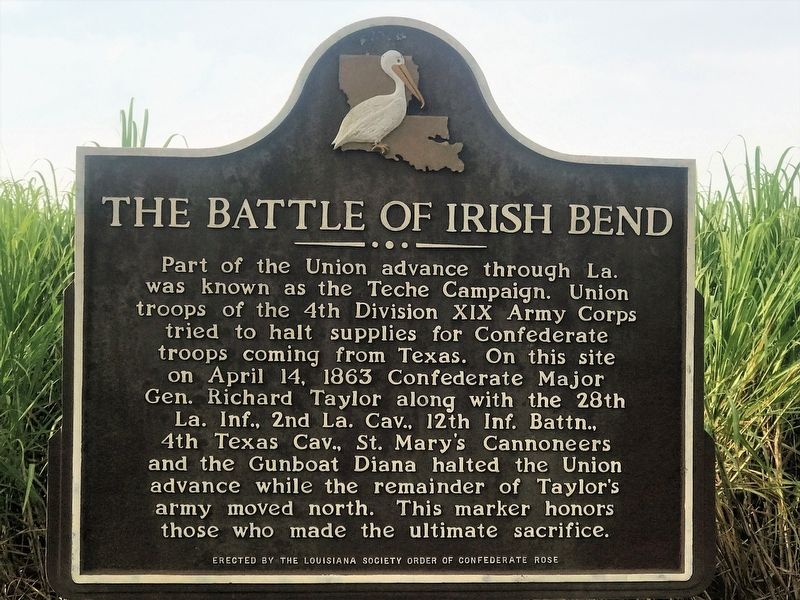
The Battle of Irish Bend
Part of the Union advance through La. was known as the Teche Campaign. Union troops of the 4th Division XIX Army Corps tried to halt supplies for Confederate troops coming from Texas. On this site on April 14, 1863 Confederate Major Gen. Richard Taylor along with the 28th La. Inf., 2nd La. Cav., 12th Inf. Battn., 4th Texas Cav., St. Mary's Cannoneers and the Gunboat Diana halted the Union advance while the remainder of Taylor's army moved north. This marker honors those who made the ultimate sacrifice.
Erected by Louisiana Society Order of Confederate Rose.
Topics. This memorial is listed in this topic list: War, US Civil. A significant historical date for this entry is April 14, 1863.
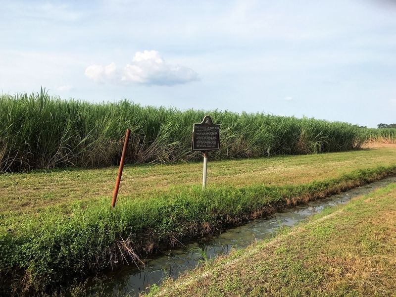
Location. 29° 48.548′ N, 91° 28.289′ W. Marker is in Franklin, Louisiana, in St. Mary Parish. Memorial is on Irish Bend Road (Parish Road 28) 0.3 miles east of Easy Street, on the left when traveling east. Touch for map. Marker is in this post office area: Franklin LA 70538, United States of America. Touch for directions.
Other nearby markers. At least 8 other markers are within 3 miles of this marker, measured as the crow flies. Donelson Caffery (approx. 1.6 miles away); Edward V. Loustalot (approx. 2 miles away); German Prisoner of War Camp (approx. 2 miles away); Bayou Teche (approx. 2 miles away); Battle Of Irish Bend (approx. 2.1 miles away); St. Mary Parish Courthouse War Memorial (approx. 2.1 miles away); The Gunboat Diana (approx. 2.1 miles away); St. Mary Parish Confederate Soldiers Monument (approx. 2.1 miles away). Touch for a list and map of all markers in Franklin.
Credits. This page was last revised on July 29, 2022. It was originally submitted on September 3, 2017, by Cajun Scrambler of Assumption, Louisiana. This page has been viewed 564 times since then and 53 times this year. Photos: 1, 2. submitted on September 3, 2017.

