Helena in Phillips County, Arkansas — The American South (West South Central)
A Union Stronghold in Confederate Arkansas
The Union Army Takes Helena, July 1862
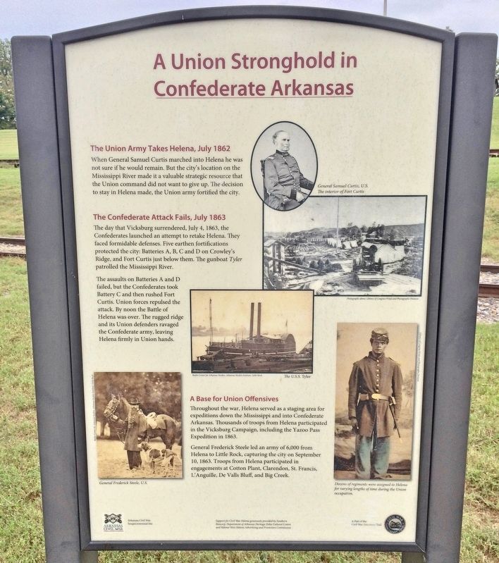
When General Samuel Curtis marched into Helena he was not sure if he would remain. But the city's location on the Mississippi River made it a valuable strategic resource that the Union command did not want to give up. The decision to stay in Helena made, the Union army fortified the city.
The Confederate Attack Fails, July 1863
The day that Vicksburg surrendered, July 4, 1863, the Confederates launched an attempt to retake Helena. They faced formidable defenses. Five earthen fortifications protected the city: Batteries A, B, C and D on Crowley's Ridge, and Fort Curtis just below them. The gunboat Tyler patrolled the Mississippi River.
The assaults on Batteries A and D failed, but the Confederates took Battery C and then rushed Fort Curtis. Union forces repulsed the attack. By noon the Battle of Helena was over. The rugged ridge and its Union defenders ravaged the Confederate army, leaving Helena firmly in Union hands.
A Base for Union Offensives
Throughout the war, Helena served as a staging area for expeditions down the Mississippi and into Confederate Arkansas. Thousands of troops from Helena participated in the Vicksburg Campaign, including the Yazoo Pass Expedition in 1863.
General Frederick Steele led an army of 6,000 from Helena to Little Rock, capturing the city on September 10, 1863. Troops from Helena participated in engagements at Cotton Plant, Clarendon, St. Francis L'Anguille, De Valls Bluff, and Big Creek.
[Photo captions]
Top right: General Samuel Curtis, U.S.
The interior of Fort Curtis
Middle: The U.S.S. Tyler
Bottom left: General Frederick Steele, U.S.
Bottom right: Dozens of regiments were assigned to Helena for varying lengths of time during the Union occupation.
Erected 2012 by Civil War Helena.
Topics. This historical marker is listed in these topic lists: Forts and Castles • War, US Civil. A significant historical month for this entry is July 1862.
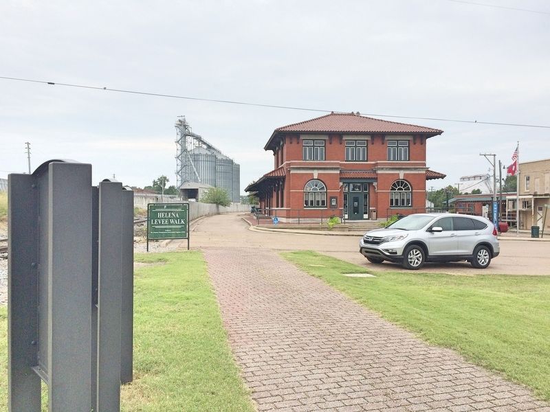
Location. 34° 31.349′ N, 90° 35.141′ W. Marker is in Helena, Arkansas, in Phillips County. Marker is on Missouri Street east of Natchez Street, on the left when traveling east. Located along Helena Levee Walk near the Helena Train Depot. Touch for map. Marker is at or near this postal address: 65 Missouri Street, Helena AR 72342, United States of America. Touch for directions.
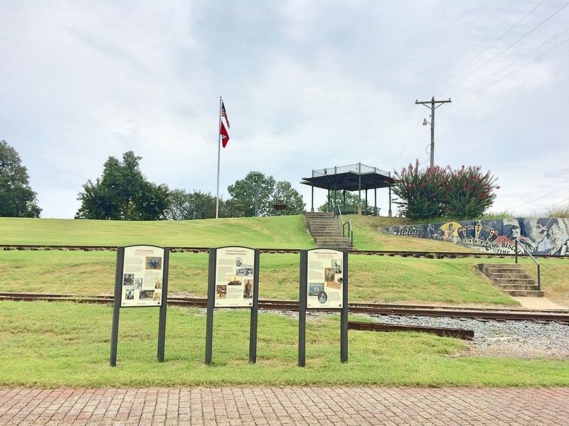
Other nearby markers. At least 8 other markers are within walking distance of this marker. A Great Upheaval (here, next to this marker); Phillips County Goes to War (here, next to this marker); The Battle of Helena
(within shouting distance of this marker); They Passed This Way (within shouting distance of this marker); Helena and The Trail of Tears (within shouting distance of this marker); Hernando De Soto (within shouting distance of this marker); KFFA 1360 Helena (about 300 feet away, measured in a direct line); The Blues Trail: Mississippi to Helena (about 400 feet away). Touch for a list and map of all markers in Helena.
More about this marker. An Arkansas Civil War Sesquicentennial site and a part of the Arkansas Civil War Discovery Trail.
Also see . . . Wikipedia article on the Battle of Helena. (Submitted on September 3, 2017, by Mark Hilton of Montgomery, Alabama.)
Credits. This page was last revised on September 3, 2017. It was originally submitted on September 3, 2017, by Mark Hilton of Montgomery, Alabama. This page has been viewed 263 times since then and 9 times this year. Photos: 1, 2, 3. submitted on September 3, 2017, by Mark Hilton of Montgomery, Alabama.


