Climax in Lake County, Colorado — The American Mountains (Southwest)
Fremont Pass
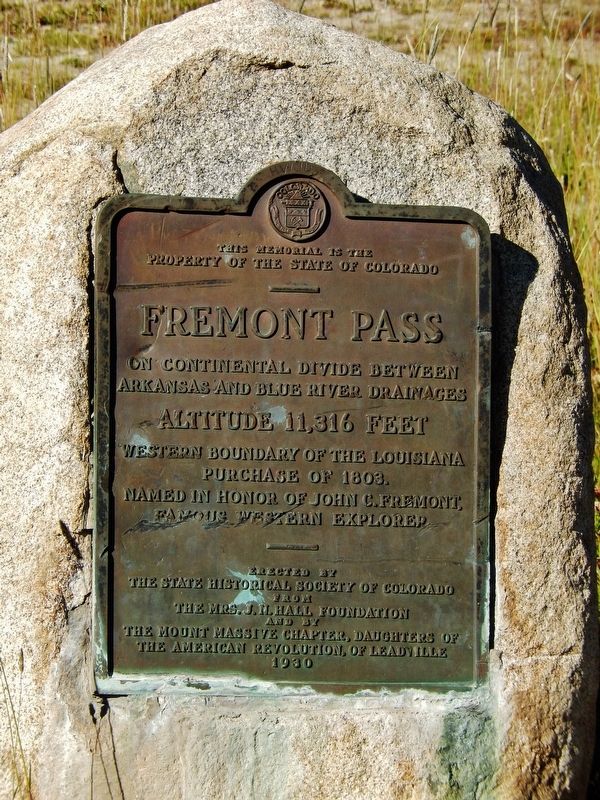
Property of the State of Colorado
Fremont Pass
On Continental Divide between
Arkansas and Blue River drainages
Altitude 11,316 feet
Western boundary of the Louisiana
Purchase of 1803.
Named in honor of John C. Fremont,
famous western explorer
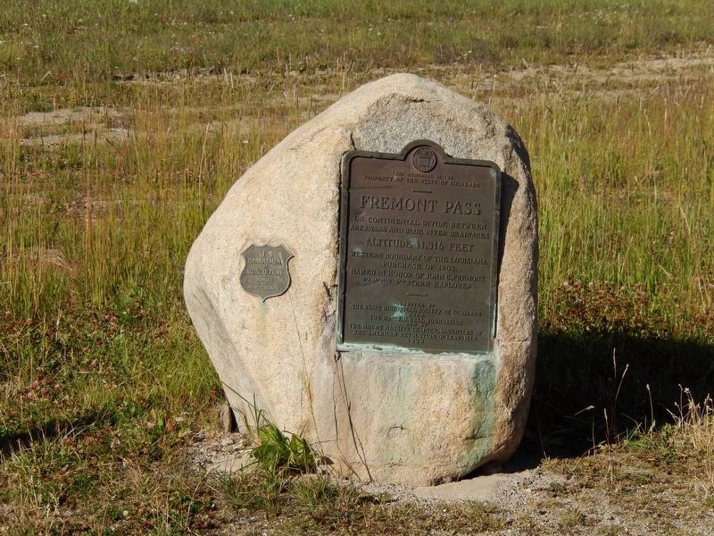
Erected 1930 by State Historical Society of Colorado & Massive Chapter, Daughters of The American Revolution.
Topics and series. This historical marker is listed in these topic lists: Exploration • Roads & Vehicles. In addition, it is included in the Daughters of the American Revolution series list.
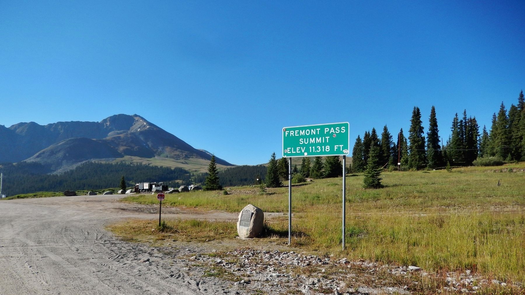
Location. 39° 22.096′ N, 106° 11.317′ W. Marker is in Climax, Colorado, in Lake County. Marker is on State Highway 91, on the right when traveling south. Marker is located adjacent to "Fremont Pass" highway sign, on west side of Colorado highway 91. Touch for map. Marker is in this post office area: Climax CO 80429, United States of America. Touch for directions.
Other nearby markers. At least 8 other markers are within walking distance of this marker. Highway in the Sky (within shouting distance of this marker); Life on the High Line (about 300 feet away, measured in a direct line); Top Secret (about 300 feet away); Skiing on Top of the World (about 300 feet away); More Than Just a Mine (about 300 feet away); Welcome to Climax! (about 300 feet away); The Big Shot (about 300 feet away); The Highest Compost Pile in the World (about 300 feet away). Touch for a list and map of all markers in Climax.
Regarding Fremont Pass. The pass is named for John C. Frémont, an explorer of the American West who discovered the pass while traversing present-day Colorado during the 1840s. The pass provides a route between the upper valley of the Blue River, a tributary of the Colorado River, with the headwaters of the Arkansas River to the south. The pass summit is the site of Climax Mine, a molybdenum mine.
Also see . . .
1. Fremont Pass (Colorado). Wikipedia entry (Submitted on October 12, 2020, by Larry Gertner of New York, New York.)
2. John C. Frémont, American explorer, military officer, and politician.
John Charles Frémont (born January 21, 1813, Savannah, Georgia, U.S.—died July 13, 1890, New York, New York), American military officer and an early explorer and mapmaker of the American West, who was one of the principal figures in opening up that region to settlement and was instrumental in the U.S. conquest and development of California. He was also a politician who ran unsuccessfully for the U.S. presidency in 1856 as the first candidate of the newly formed Republican Party. (Submitted on August 31, 2017, by Cosmos Mariner of Cape Canaveral, Florida.)
3. 1994 Mining History Association Tour .
Today this is Colorado ski country with famous resorts of Breckenridge, Vail, and Copper Mountain to name just a few. At the top of the pass is the famous Climax Molybdenum Mine. At one time it was the largest underground mine in the U. S. It was nearly the sole source of “moly,” so critical to the World War II effort. (Submitted on August 31, 2017, by Cosmos Mariner of Cape Canaveral, Florida.)
Credits. This page was last revised on April 13, 2021. It was originally submitted on August 31, 2017, by Cosmos Mariner of Cape Canaveral, Florida. This page has been viewed 503 times since then and 31 times this year. Last updated on December 31, 2018, by Cosmos Mariner of Cape Canaveral, Florida. Photos: 1, 2, 3, 4. submitted on August 31, 2017, by Cosmos Mariner of Cape Canaveral, Florida. • Andrew Ruppenstein was the editor who published this page.


