Near Low Moor in Alleghany County, Virginia — The American South (Mid-Atlantic)
Jackson River Depot
Crook's Raid
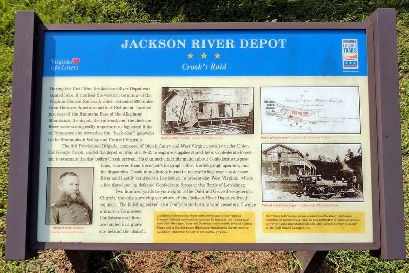
The 3rd Provisional Brigade, composed of Ohio infantry and West Virginia cavalry under Union Col. George Crook, raided the depot on May 20, 1862, to capture supplies stored here. Confederate forces had to evacuate the day before Crook arrived. He obtained vital information about Confederate dispositions, however, from the depot’s telegraph office, the telegraph operator, and his dispatches. Crook immediately burned a nearby bridge over the Jackson River and hastily returned to Lewisburg, in present-day West Virginia, where a few days later he defeated Confederate forces at the Battle of Lewisburg.
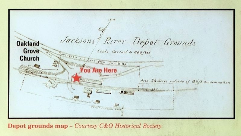
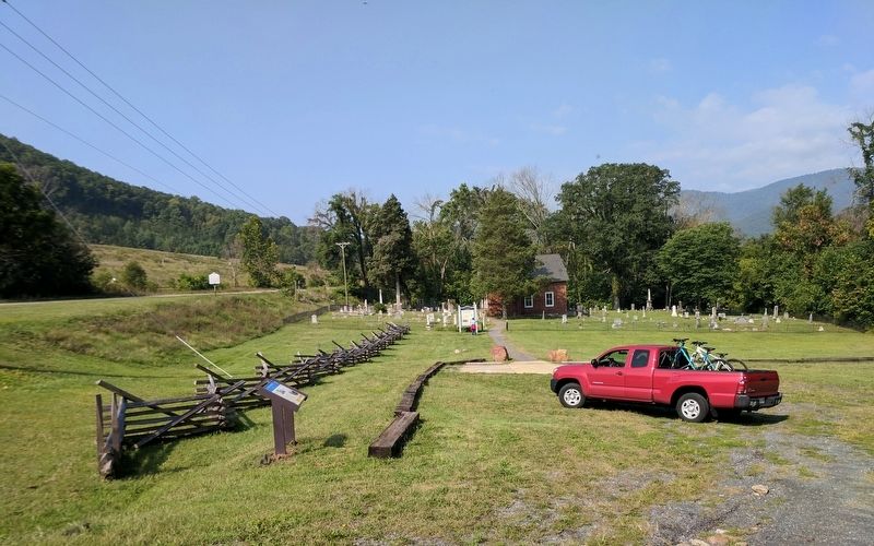
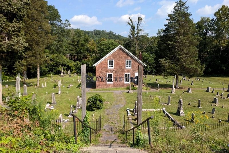
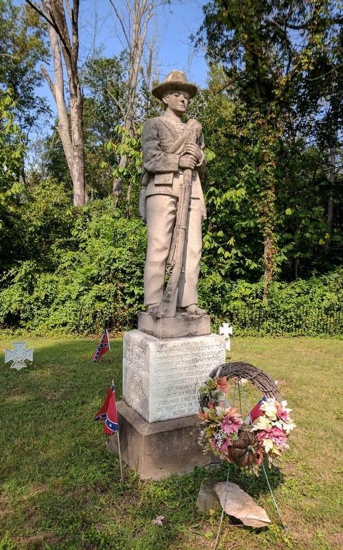
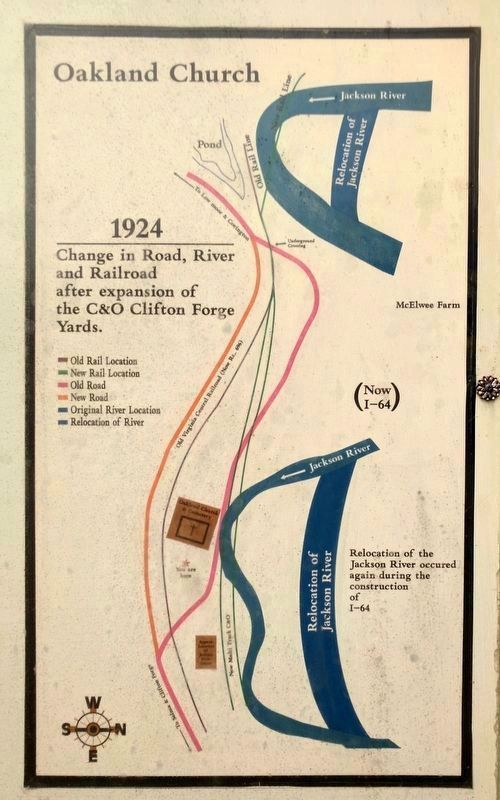
Two hundred yards to your right is the Oakland Grove Presbyterian Church, the only surviving structure of the Jackson River Depot railroad complex. The building served as a Confederate hospital and cemetery. Twelve unknown Tennessee Confederate soldiers are buried in a grave site behind the church.
(sidebars)
Additional information about early operations of the Virginia Central Railroad and local history can be found at the Chesapeake and Ohio Heritage Center and Museum in the nearby town of Clifton Forge and at the Alleghany Highlands Genealogical Society and the Alleghany Historical Society in Covington, Virginia.
For visitor information please contact the Alleghany Highlands Chamber of Commerce & Tourism at 540-962-2178 or visit our website at www.visitalleghanyhighlands.com. The Visitors Center is located at 110 Mall Road, Covington, VA.
(captions)
George Crook (as Gen.) Courtesy Library of Congress
Jackson River Depot – Courtesy Virginia Review
Depot grounds map – Courtesy C&O Historical Society
View of track from depot – Courtesy C&O Historical Society
Erected by Virginia Civil War Trails.
Topics and series. This historical marker is listed in these topic lists: Cemeteries & Burial Sites • Churches & Religion • Railroads & Streetcars • War, US Civil. In addition, it is included in the Virginia Civil War Trails series list. A significant historical date for this entry is May 20, 1862.
Location. 37° 48.118′ N, 79° 51.557′ W. Marker is near Low Moor, Virginia, in Alleghany County. Marker is on Selma Low Moor Road (Virginia Route 696) 0.2 miles west of Oakland Drive, on the right when traveling west. Touch for map. Marker is in this post office area: Clifton Forge VA 24422, United States of America. Touch for directions.
Other nearby markers. At least 8 other markers are within 3 miles of this marker, measured as the crow flies. Oakland Presbyterian Church and Cemetery (within shouting distance of this marker); Oakland Grove Presbyterian Church (within shouting distance of this marker); Oakland Presbyterian Church (about 300 feet away, measured in a direct line); a different marker also named Oakland Presbyterian Church and Cemetery (about 300 feet away); C&O Railroad Shops (approx. 1.4 miles away); Low Moor Iron Company Coke Ovens (approx. 1˝ miles away); Masonic Theatre (approx. 2.1 miles away); Roger Arliner Young (approx. 2.2 miles away). Touch for a list and map of all markers in Low Moor.
Also see . . . Alleghany Highlands of Virginia. Alleghany Highlands Chamber of Commerce & Tourism (Submitted on September 5, 2017.)
Credits. This page was last revised on September 5, 2017. It was originally submitted on September 5, 2017, by Bernard Fisher of Richmond, Virginia. This page has been viewed 685 times since then and 39 times this year. Photos: 1, 2, 3, 4, 5, 6. submitted on September 5, 2017, by Bernard Fisher of Richmond, Virginia.
