Myersville in Frederick County, Maryland — The American Northeast (Mid-Atlantic)
Religious Traditions
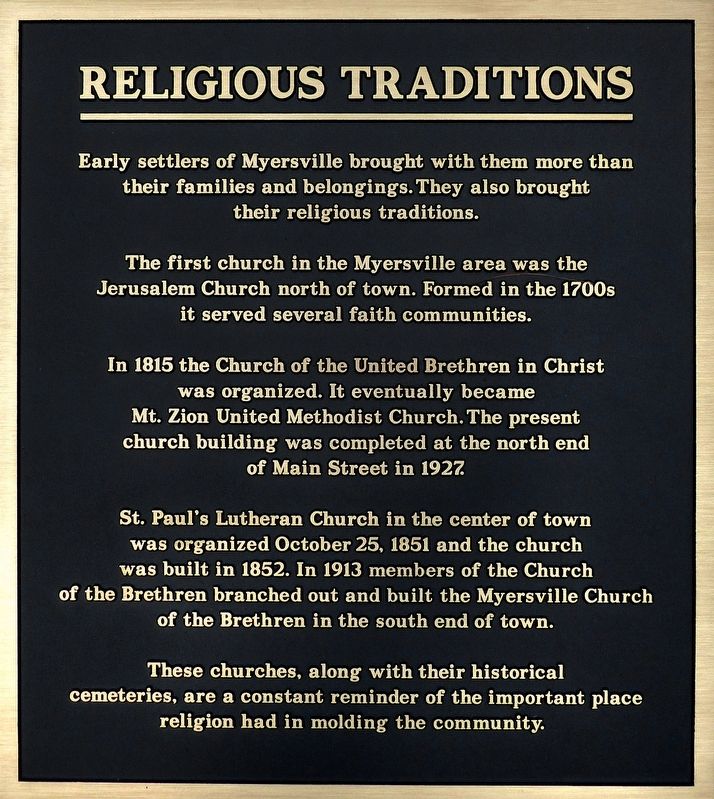
The first church in the Myersville area was the Jerusalem Church north of town. Formed in the 1700s it served several faith communities.
In 1815 the Church of the United Brethren in Christ was organized. It eventually became Mt. Zion United Methodist Church. The present church building was completed at the north end of Main Street in 1927.
St. Paul's Lutheran Church in the center of town was organized October 25. 1851 and the church was built in 1852. In 1913 members of the Church of the Brethren branched out and built the Myersville Church of the Brethren in the south end of town.
These churches, along with their historical cemeteries, are a constant reminder of the important place religion had in molding the community.
Topics. This historical marker is listed in this topic list: Churches & Religion. A significant historical date for this entry is October 25, 1851.
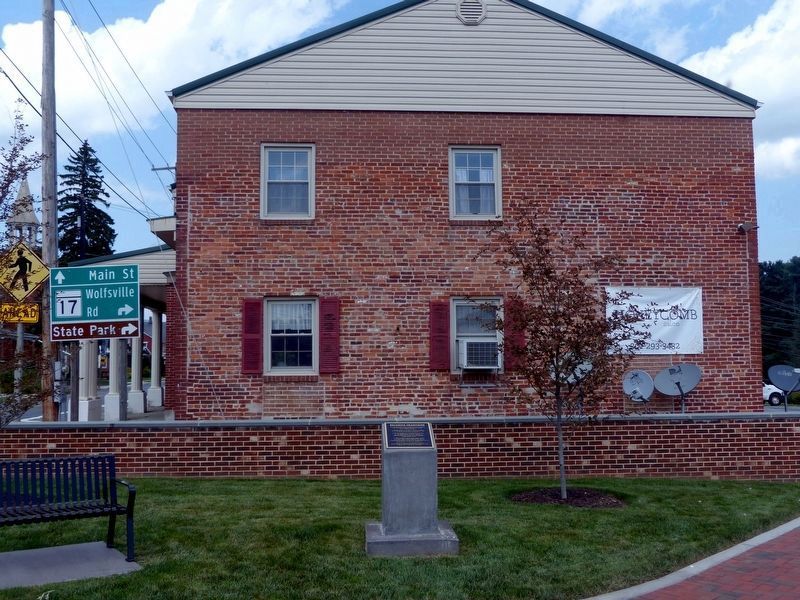
Location. 39° 30.396′ N, 77° 33.987′ W. Marker is in Myersville, Maryland, in Frederick County. Marker can be reached from the intersection of Main Street and Trolley Lane. This marker is in Myersville's Memorial Park. Touch for map. Marker is in this post office area: Myersville MD 21773, United States of America. Touch for directions.
Other nearby markers. At least 8 other markers are within 3 miles of this marker, measured as the crow flies. The H & F Trolley (here, next to this marker); Trolley Station (a few steps from this marker); Farming in the Valley (a few steps from this marker); The First Churches of Western Maryland (approx. 1.4 miles away); The Battle of Antietam (approx. 2.2 miles away); Camp David (approx. 2.2 miles away); Underground Railroad (approx. 2.2 miles away); Explore Maryland at the Crossroads of Conflict (approx. 2.2 miles away). Touch for a list and map of all markers in Myersville.
Credits. This page was last revised on September 7, 2017. It was originally submitted on September 5, 2017, by Allen C. Browne of Silver Spring, Maryland. This page has been viewed 196 times since then and 15 times this year. Photos: 1, 2. submitted on September 5, 2017, by Allen C. Browne of Silver Spring, Maryland. • Bill Pfingsten was the editor who published this page.

