Statesboro in Bulloch County, Georgia — The American South (South Atlantic)
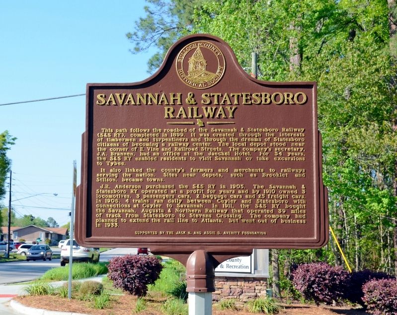
Savannah & Statesboro Railway
It also linked the county’s farmers and merchants to railways serving the nation. Sites near depots, such as Brooklet and Stilson, became towns.
J.R. Anderson purchased the S&S RY in 1905. The Savannah & Statesboro RY operated at a profit for years and by 1910 owned 3 locomotives, 3 passenger cars, 2 baggage cars and 25 freight cars. In 1908, 4 trains ran daily between Cuyler and Statesboro with connections at Cuyler to Savannah. In 1911, the S&S RY bought the Savannah, Augusta & Northern Railway that operated 39 miles of track from Statesboro to Stevens Crossing. The company had planned to extend the rail line to Atlanta, but went out of business in 1933.
Erected by The Bulloch County Historical Society, sponsored by the Jack N. & Addie D. Averitt Foundation.
Topics. This historical marker is listed in this topic list: Railroads & Streetcars.
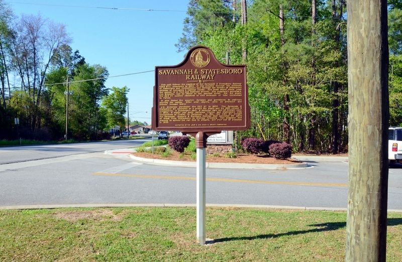
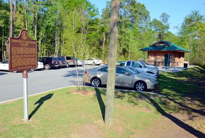
Location. 32° 25.95′ N, 81° 46.2′ W. Marker is in Statesboro, Georgia, in Bulloch County. Marker is on Gentilly Road, half a mile south of Brannen Street, on the left when traveling south. Marker is at the entrance to the parking area for the S&S Railroad Bed Trail, a "Rails to Trails" program. Touch for map. Marker is in this post office area: Statesboro GA 30458, United States of America. Touch for directions.
Other nearby markers. At least 8 other markers are within walking distance of this marker. Savannah Avenue Historic District (approx. 0.7 miles away); The Bulloch County Hospital, 1937-2000 (approx. 0.7 miles away); United States vs. Darby Lumber Company (approx. ¾ mile away); Donehoo-Brannen-NeSmith Mansion (approx. 0.8 miles away); Pioneer Turpentining Experiment (approx. 0.9 miles away); Marvin Summers Pittman (approx. 0.9 miles away); Integration of Georgia Southern (approx. 0.9 miles away); First District Agricultural and Mechanical School (approx. 0.9 miles away). Touch for a list and map of all markers in Statesboro.
Credits. This page was last revised on September 8, 2017. It was originally submitted on September 8, 2017, by David Seibert of Sandy Springs, Georgia. This page has been viewed 590 times since then and 82 times this year. Photos: 1, 2, 3. submitted on September 8, 2017, by David Seibert of Sandy Springs, Georgia.


