Bailey Island Bridge
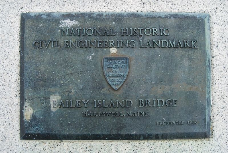
Plaque 1
National Historic Civil Engineering Landmark Bailey Island Bridge Harpswell, Maine Presented 1984
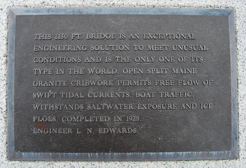
Plaque 2
This 1150 ft. bridge is an exceptional
engineering solution to meet unusual
conditions and is the only one of its
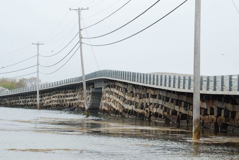
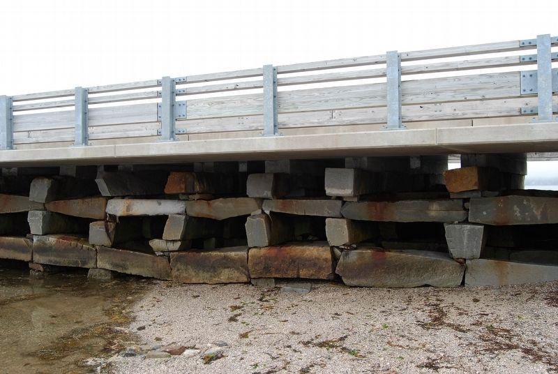
kind in the world. Open split Maine
granite cribwork permits free flow of
swift tidal currents, boat traffic,
withstands saltwater exposure and ice
floes. Completed in 1928.
Engineer L.N. Edwards.
Erected 1984 by American Society of Civil Engineers.
Topics and series. This historical marker is listed in this topic list: Bridges & Viaducts. In addition, it is included in the ASCE Civil Engineering Landmarks series list.
Location. 43° 45.015′ N, 69° 59.236′ W. Marker is in Harpswell, Maine, in Cumberland County. Marker is at the intersection of Harpswell Island Road (Maine Route 24) on Harpswell Island Road. In granite block at northeast corner of bridge. Touch for map. Marker is in this post office area: Bailey Island ME 04003, United States of America. Touch for directions.
Other nearby markers. At least 8 other markers are within 10 miles of this marker, measured as the crow flies. Round-the-World Flight 1924 (approx. 5.8 miles away); Veterans Memorial (approx. 7.2 miles away); Welcome to Cliff Island
Credits. This page was last revised on February 5, 2020. It was originally submitted on September 9, 2017, by Marc Belanger of Reno, Nevada. This page has been viewed 422 times since then and 40 times this year. Photos: 1, 2, 3, 4. submitted on September 9, 2017, by Marc Belanger of Reno, Nevada. • Bill Pfingsten was the editor who published this page.


