Fort Myer in Arlington in Arlington County, Virginia — The American South (Mid-Atlantic)
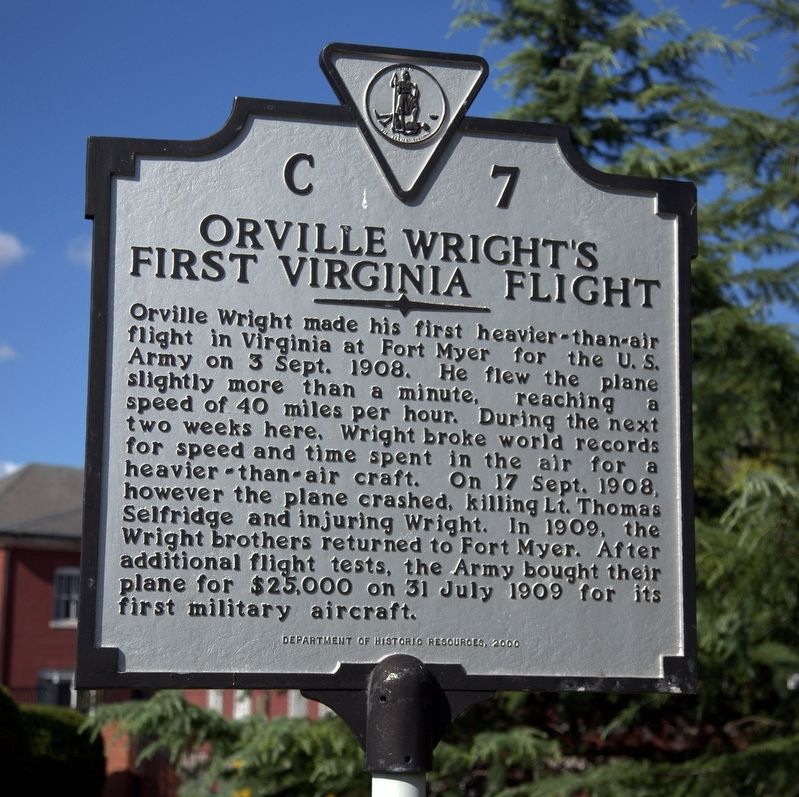
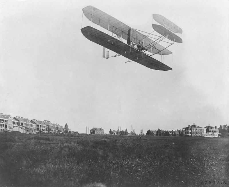
Orville Wright’s First Virginia Flight
Erected 2000 by Department of Historic Resources. (Marker Number C-7.)
Topics and series. This historical marker is listed in these topic lists: Air & Space • Forts and Castles • Military. In addition, it is included in the Virginia Department of Historic Resources (DHR) series list. A significant historical date for this entry is September 3, 1908.
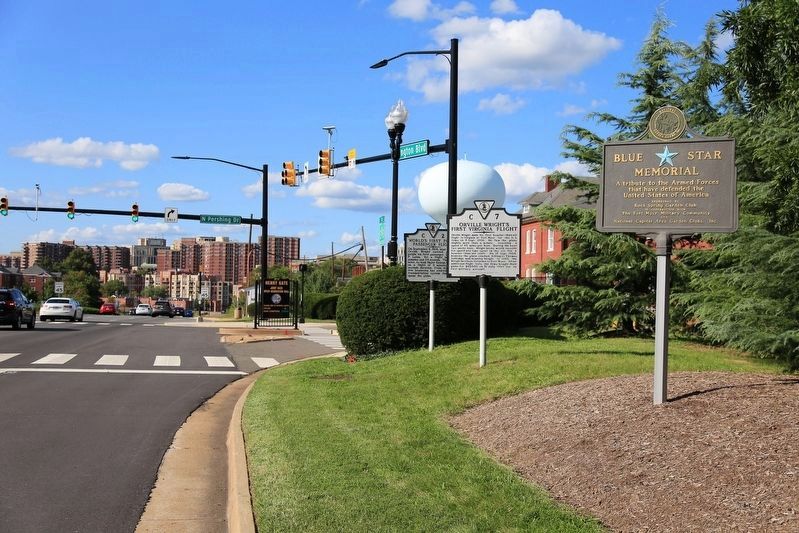
Location. 38° 52.86′ N, 77° 5.036′ W. Marker is in Arlington, Virginia, in Arlington County. It is in Fort Myer. Marker is at the intersection of Arlington Boulevard (U.S. 50) and North Pershing Drive, on the right when traveling east on Arlington Boulevard. It is just outside Henry Gate for Joint Base Myer’s Henderson Hall. Touch for map. Marker is in this post office area: Arlington VA 22201, United States of America. Touch for directions.
Other nearby markers. At least 8 other markers are within walking distance of this marker. World’s First Public Passenger Flight (here, next to this marker); Fort Whipple (within shouting distance of this marker); 12th Pennsylvania Volunteer Infantry (about 400 feet away, measured in a direct line); Fort Myer Historic District (about 500 feet away); The Commander in Chief's Oak (about 500 feet away); Centennial of Military Aviation (about 500 feet away); Thomas Etholen Selfridge (about 500 feet away); Famous Firsts in Aeronautics at Fort Myer (about 600 feet away). Touch for a list and map of all markers in Arlington.
More about this marker. This marker replaced an earlier marker with this same number titled “First Heavier-Than-Air Flight in Virginia” that read, “The first heavier-than-air flight in Virginia was made by Orville Wright at Fort Myers on 4 September 1908. A United States Signal Corps log noted the flight spanned three miles at a height of 40 feet. The engine’s condition following the flight of four minutes and fifteen seconds was described as ‘good.’ The engine ran a total of six minutes.”
Also see . . . Fatal Fall of Wright Airship. New York Times 1908 article.

Photographed By J. J. Prats, September 9, 2017
2. Two First-Flight Markers and the Blue Star Memorial Marker for Arlington Boulevard
The Blue Star Memorial Highway marker reads “A tribute to the Armed Forces that have defended the United States of America, sponsored by Rock Spring Garden Club in cooperation with the Fort Myer Military Community and National Capital Area Garden Clubs, Inc.”
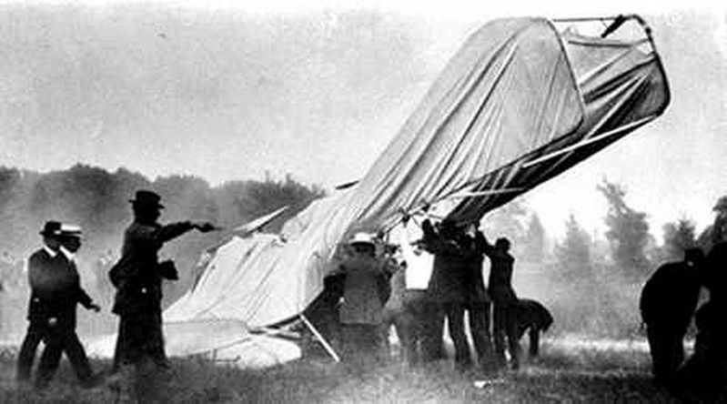
“The aeroplane had made three complete circuits of the big parade ground and was dashing around a curve at the far end of the field on the final lap of its fourth when the propeller blade broke. It snapped short off close to the shaft and was hurled sixty feet away. “The aeroplane seemed to tip sharply for a fraction of a second, then it started up for about ten feet; this was followed by a short, sharp dive and a crash in the field. Instantly the dust arose in a yellow, choking cloud that spread a dull pall over the great white man-made bird that had dashed to its death.” (Submitted on September 9, 2017.)
Credits. This page was last revised on February 1, 2023. It was originally submitted on September 9, 2017, by J. J. Prats of Powell, Ohio. This page has been viewed 919 times since then and 248 times this year. Photos: 1, 2, 3, 4. submitted on September 9, 2017, by J. J. Prats of Powell, Ohio.


