Vacaville in Solano County, California — The American West (Pacific Coastal)
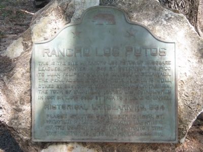
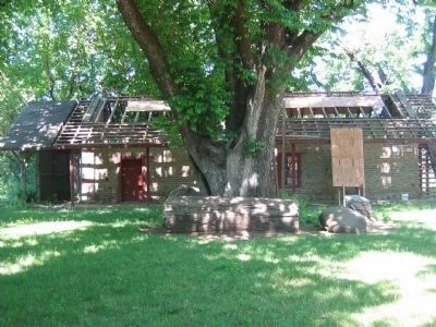
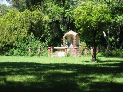
Rancho Los Putos
Erected 1955 by Vacaville Parlor No. 293, Native Daughters of the Golden West in Cooperation with the California State Park Commission. (Marker Number 534.)
Topics and series. This historical marker is listed in these topic lists: Agriculture • Hispanic Americans • Settlements & Settlers. In addition, it is included in the California Historical Landmarks, and the Native Sons/Daughters of the Golden West series lists. A significant historical year for this entry is 1845.
Location. 38° 20.254′ N, 122° 0.92′ W. Marker is in Vacaville, California, in Solano County. Marker can be reached from Pena Adobe Road. Take Pena Adobe Rd interchange on I-80, go NE 0.5 mi on Pena Adobe Rd to Pena Adobe Park, Vacaville. Touch for map. Marker is in this post office area: Vacaville CA 95688, United States of America. Touch for directions.
Other nearby markers. At least 8 other markers are within 2 miles of this marker, measured as the crow flies. William Gordon Huff (here, next to this marker); Pioneer Monument (a few steps from this marker); Peña Adobe Park (a few steps from this marker); Unknown Pioneer Ranchers (approx. 0.2 miles away); The Valley (approx. half a mile away); Uncle Burt's Tree (approx. 1.7 miles away); The Andrew Carnegie Public Library (approx. 1.9 miles away); Barcar Building (approx. 1.9 miles away). Touch for a list and map of all markers in Vacaville.
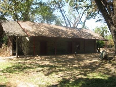
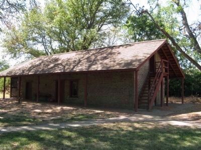
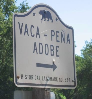
More about this marker. Site is a California Registered Historical Landmark (No. 534) under the name Vaca-Pena Adobe.
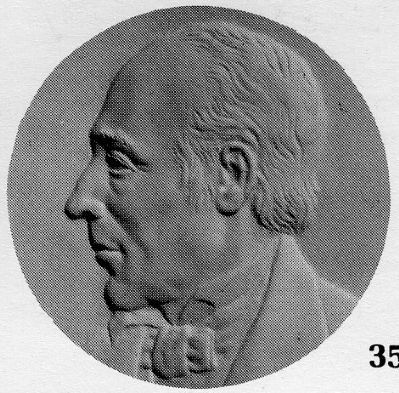
Photographed By Michael Kindig, May 1, 1981
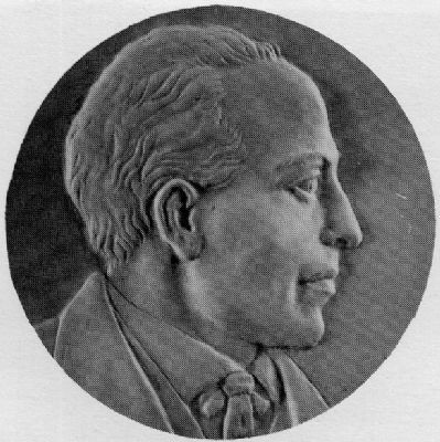
6. Juan Felipe Pena
Pena, with his compadre, Vaca, was granted ten Spanish leagues of land in 1842. First called Lihuaytos, later Rancho los Putos. Both partners built adobe homes in Laguna Valley near the present site of Vacaville. The beautiful two-hundred acre Pena Adobe Park now occupies the heart of what was once Rancho los Putos.
Credits. This page was last revised on November 8, 2019. It was originally submitted on August 29, 2008, by Syd Whittle of Mesa, Arizona. This page has been viewed 2,286 times since then and 37 times this year. Photos: 1, 2, 3. submitted on August 29, 2008, by Syd Whittle of Mesa, Arizona. 4. submitted on December 5, 2008, by Syd Whittle of Mesa, Arizona. 5, 6. submitted on April 20, 2014, by Michael Kindig of Elk Grove, California. 7, 8. submitted on December 6, 2008, by Syd Whittle of Mesa, Arizona. • Kevin W. was the editor who published this page.
