Reedsville in Meigs County, Ohio — The American Midwest (Great Lakes)
Reedsville
Another River Crossing Attempt
— John Hunt Morgan Heritage Trail —
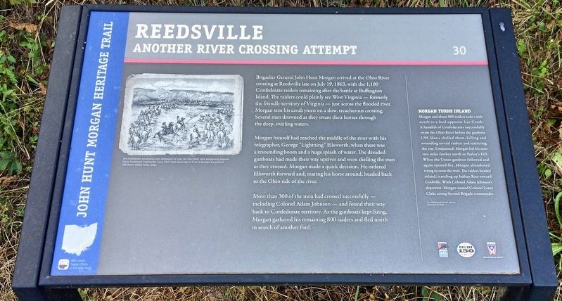
Morgan himself had reached the middle of the river with his telegrapher, George "Lightning" Ellsworth, when there was a resounding boom and a huge splash of water. The dreaded gunboats had made their way upriver and were shelling the men as they crossed. Morgan made a quick decision. He ordered Ellsworth forward and, rearing his horse around, headed back to the Ohio side of the river.
More than 300 of the men had crossed successfully — including Colonel Adam Johnson — and found their way back to Confederate territory. As the gunboats kept firing, Morgan gathered his remaining 800 raiders and fled north in search of another ford.
Morgan Turns Inland
Morgan and about 800 raiders rode a mile north to a ford opposite Lee Creek. A handful of Confederates successfully swam the Ohio River before the gunboat USS Moose shelled them, killing and wounding several raiders and scattering the rest. Undaunted, Morgan led his men two miles further north to Parker's Hill. When the Union gunboat followed and again opened fire, Morgan abandoned trying to cross the river. The raiders headed inland, traveling up Indian Run toward Coolville. With Colonel Adam Johnson's departure, Morgan named Colonel Leroy Cluke acting Second Brigade commander.
[Photo caption]: The Confederate cavalrymen who attempted to cross the Ohio River were dangerously exposed. Union Lieutenant Commander Leroy Fitch took advantage of it as he brought his gunboat USS Moose within firing range.
Text: Edd Sharp & David L. Mowery
Illustration: Bev Kirk
Erected 2013 by the Ohio Department of Transportation, the Ohio History Connection, and the Ohio Civil War Trail Commission. (Marker Number 30.)
Topics and series. This historical marker is listed in these topic lists: War, US Civil • Waterways & Vessels. In addition, it is included in the John Hunt Morgan Heritage Trail in Ohio series list. A significant historical date for this entry is July 19, 1863.
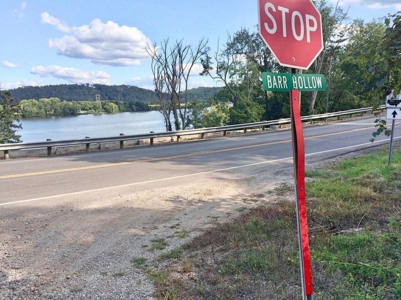
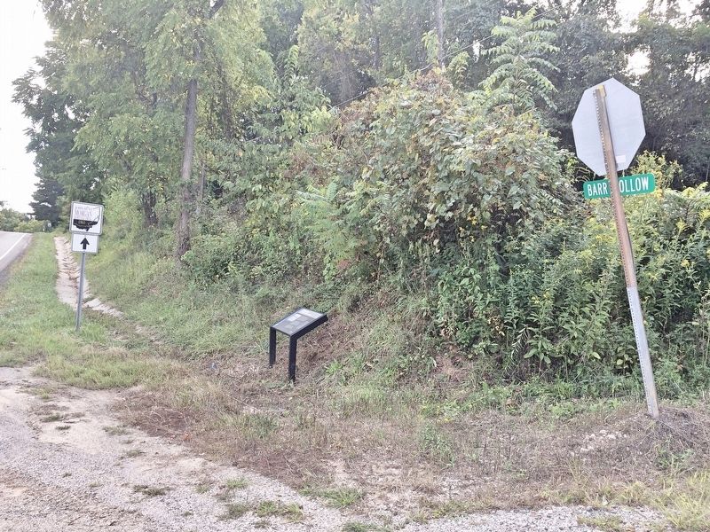
Location. 39° 7.749′ N, 81° 44.828′ W. Marker is in Reedsville, Ohio, in Meigs County. Marker is at the intersection of Ohio River Scenic Byway (Ohio Route 124) and Barr Hollow Road (County Road 402), on the right when traveling south on Ohio River Scenic Byway. Touch for map. Marker is at or near this postal address: 66914 OH-124, Reedsville OH 45772, United States of America. Touch for directions.
Other nearby markers. At least 8 other markers are within 8 miles of this marker, measured as the crow flies. Belleville (approx. 0.9 miles away in West Virginia); Tupper Plains (approx. 2.6 miles away); Long Bottom (approx. 4.3 miles away); George Washington (approx. 5.7 miles away); Coleman Chapel (approx. 6.3 miles away in West Virginia); The Coolville Bridge (approx. 7 miles away); Birthplace of Ambrose Bierce (approx. 7.3 miles away); North End Valley (approx. 7.6 miles away). Touch for a list and map of all markers in Reedsville.
Credits. This page was last revised on September 14, 2017. It was originally submitted on September 14, 2017, by Mark Hilton of Montgomery, Alabama. This page has been viewed 599 times since then and 64 times this year. Photos: 1, 2, 3. submitted on September 14, 2017, by Mark Hilton of Montgomery, Alabama.


