Birmingham Township near West Chester in Chester County, Pennsylvania — The American Northeast (Mid-Atlantic)
Battle of Brandywine
September 11, 1777
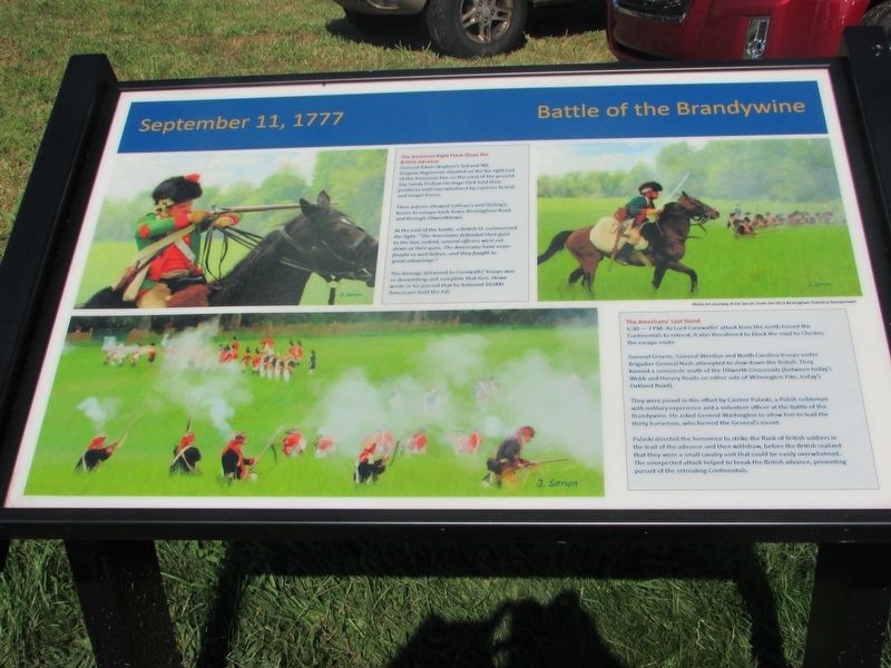
The American Right Flank Slows the British Advance
General Adam Stephen’s 3rd and 4th Virginia Regiments situated on the far right end of the American line on the crest of the present day Sandy Hollow Heritage Park held their positions until overwhelmed by superior British and Jaeger forces.
Their actions allowed Sullivan’s and Stirling’s forces to escape back down Birmingham Road and through Dilworthtown.
At the end of the battle, a British Lt. summarized the fight “The Americans defended their guns to the last, indeed, several officers were cut down at their guns. The Americans have never fought so well before, and they fought to great advantage.”
The damage delivered to Cornwallis’ troops was so devastating and complete that Gen. Howe wrote in his journal that he believed 10,000 Americans held the hill.
The Americans’ Last Stand
6:30 – 7 PM: As Lord Cornwallis’ attack from the north forced the Continentals to retreat, it also threatened to block the road to Chester, the escape route.
General Greene, General Weedon and North Carolina troops under Brigadier General Nash attempted to slow down the British. They formed a semicircle south of the Dilworth Crossroads (between today’s Webb and Harvey Roads on either side of Wilmington Pike, today’s Oakland Road).
They were joined in this effort by Casimir Pulaski, a Polish nobleman with military experience and a volunteer officer at the Battle of Brandywine. He asked General Washington to allow him to lead the thirty horsemen, who formed the General’s escort.
Pulaski directed the horsemen to strike the flank of British soldiers in the lead of the advance and then withdraw, before the British realized that they were a small cavalry unit that could be easily overwhelmed. The unexpected attack helped to break the British advance, preventing pursuit of the retreating Continentals.
Topics and series. This historical marker is listed in this topic list: War, US Revolutionary. In addition, it is included in the Former U.S. Presidents: #01 George Washington series list. A significant historical date for this entry is September 11, 1777.
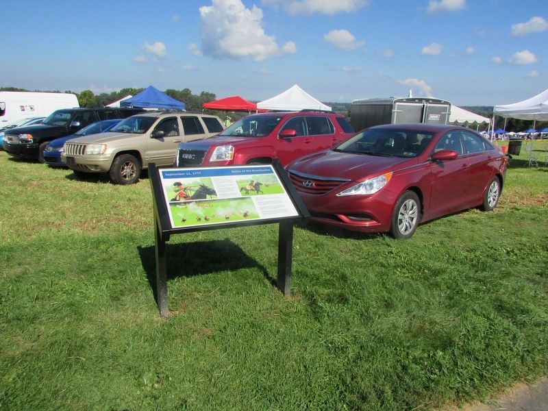
Location. Marker has been reported missing. It was located near 39° 54.211′ N, 75° 34.742′ W. Marker was near West Chester, Pennsylvania, in Chester County. It was in Birmingham Township. Marker could be reached from South New Street, on the right when traveling south. Marker is located in Sandy Hollow Heritage Park. Touch for map. Marker was at or near this postal address: 1325 S New St, West Chester PA 19382, United States of America. Touch for directions.
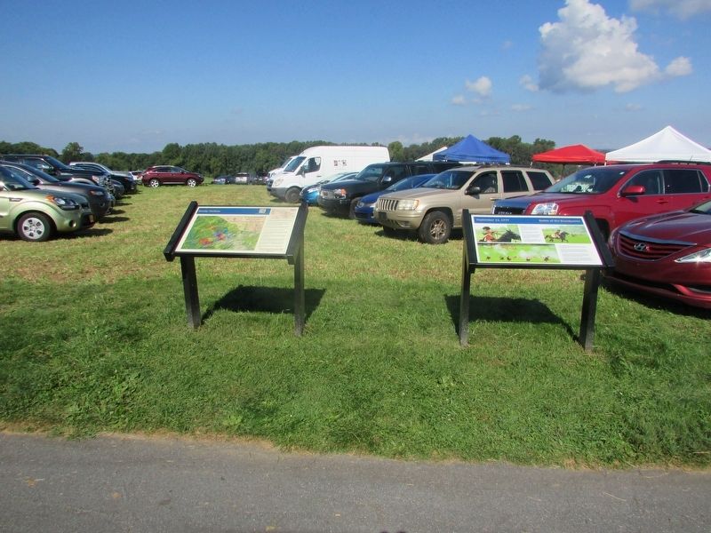
Other nearby markers. At least 8 other markers are within walking distance of this location. Where is George Washington? (here, next to this marker); Sandy Hollow (here, next to this marker); Sandy Hollow Heritage Park (within shouting distance of this marker); a different marker also named Sandy Hollow Heritage Park (within shouting distance of this marker); Brandywine Battlefield A Commonwealth Treasure (about 400 feet away, measured in a direct line); a different marker also named Sandy Hollow Heritage Park (approx. 0.2 miles away); Brandywine (approx. 0.4 miles away); Lafayette Memorial (approx. 0.4 miles away). Touch for a list and map of all markers in West Chester.
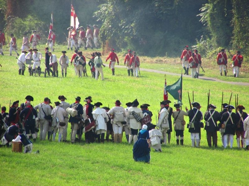
More about this marker. Several pictures appear on the marker that were taken at the 2014 Birmingham Township Reenactment.
Credits. This page was last revised on March 11, 2024. It was originally submitted on September 16, 2017, by Bill Coughlin of Woodland Park, New Jersey. This page has been viewed 406 times since then and 35 times this year. Last updated on March 10, 2024, by Pete Skillman of Townsend, Delaware. Photos: 1, 2, 3, 4. submitted on September 16, 2017, by Bill Coughlin of Woodland Park, New Jersey. • Devry Becker Jones was the editor who published this page.


