Near Decatur in Wise County, Texas — The American South (West South Central)
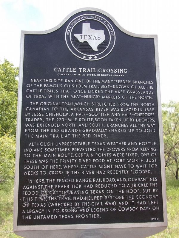
Cattle Trail Crossing
(Located ¼ mile south, on Denton Creek)
Near this site ran one of the many "feeder" branches of the famous Chisholm Trail, best-known of all the cattle trails that once linked the vast grasslands of Texas with the meat-hungry markets of the north.
The original trail, which stretched from the North Canadian to the Arkansas River, was blazed in 1865 by Jesse Chisholm, a half-Scottish and half-Cherokee trader. The 220-mile route, soon taken up by drovers, was extended north and south. Branches all the way from the Rio Grande gradually snaked up to join the main trail at the Red River.
Although unpredictable Texas weather and hostile Indians sometimes prevented the drovers from keeping to the main route, certain points were fixed. One of these was the Trinity River ford at Fort Worth, just south of here, where cattle might have to wait for weeks to cross if the river had recently flooded.
In 1895, the fenced range, railroad, and quarantines against the fever tick had reduced to a trickle the flood of cattle leaving Texas on the hoof; but by this time, the trail had helped restore the economy of Texas (wrecked by the Civil War) and it had left a legacy in folksong and legend of cowboy days on the untamed Texas frontier.
Erected 1968 by State Historical Survey Committee. (Marker Number 766.)
Topics. This historical marker is listed in these topic lists: Industry & Commerce • Man-Made Features • Roads & Vehicles • Settlements & Settlers.
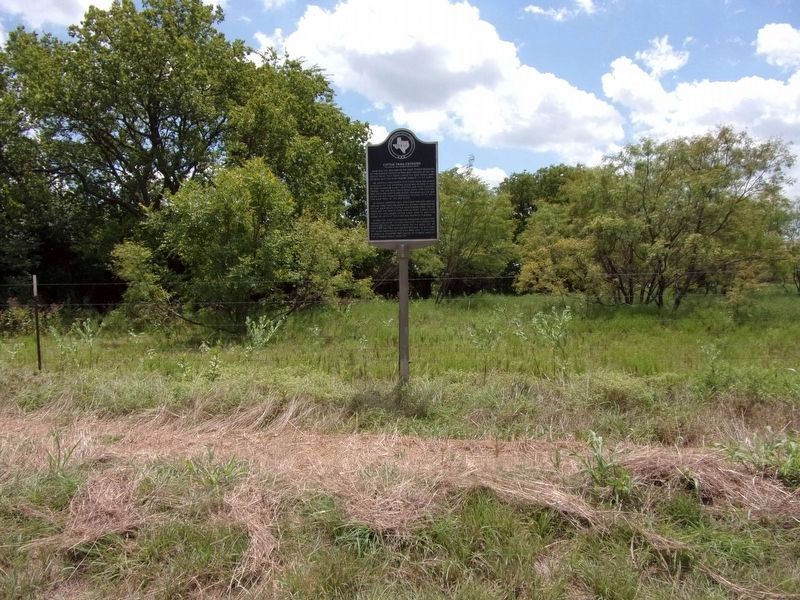
Location. 33° 14.75′ N, 97° 23.507′ W. Marker is near Decatur, Texas, in Wise County. Marker is at the intersection of U.S. 380 and North County Line Road, on the right when traveling east on U.S. 380. Touch for map. Marker is in this post office area: Decatur TX 76234, United States of America. Touch for directions.
Other nearby markers. At least 8 other markers are within 10 miles of this marker, measured as the crow flies. Gregg Ranch (approx. 4.3 miles away); Plainview Cemetery (approx. 5.2 miles away); Old Campsite of Jesse and Frank James (approx. 6.2 miles away); Dr. William Renshaw (approx. 6.3 miles away); Slidell (approx. 7.7 miles away); Eakins Cemetery (approx. 8½ miles away); Chisholm Trail in Denton County (approx. 8.9 miles away); Forester Ranch (approx. 9.2 miles away). Touch for a list and map of all markers in Decatur.
Credits. This page was last revised on August 2, 2020. It was originally submitted on September 20, 2017, by James R. Murray of Elkton, Florida. This page has been viewed 903 times since then and 70 times this year. Photos: 1, 2. submitted on August 2, 2020, by Kayla Harper of Dallas, Texas. • Bernard Fisher was the editor who published this page.

