Sullivans Island in Charleston County, South Carolina — The American South (South Atlantic)
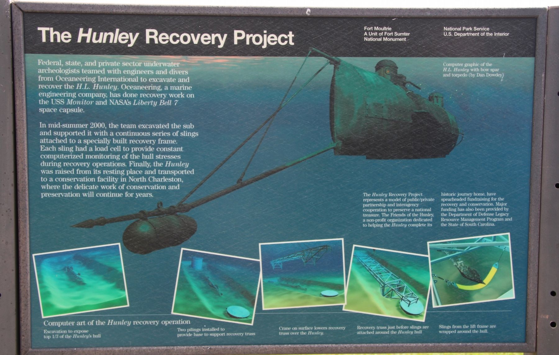
The Hunley Recovery Project
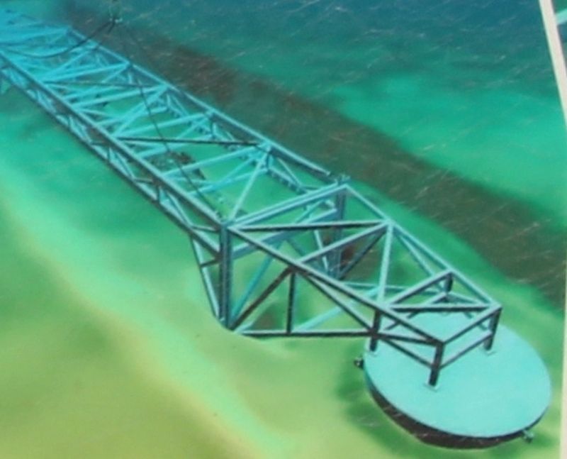
Federal, state, and private sector underwater archaeologists teamed with engineers and divers from Oceaneering International to excavate and recover the H.L. Hunley. Oceaneering, a marine engineering company, has done recovery work on the USS Monitor and NASA's Liberty Bell 7 space capsule.
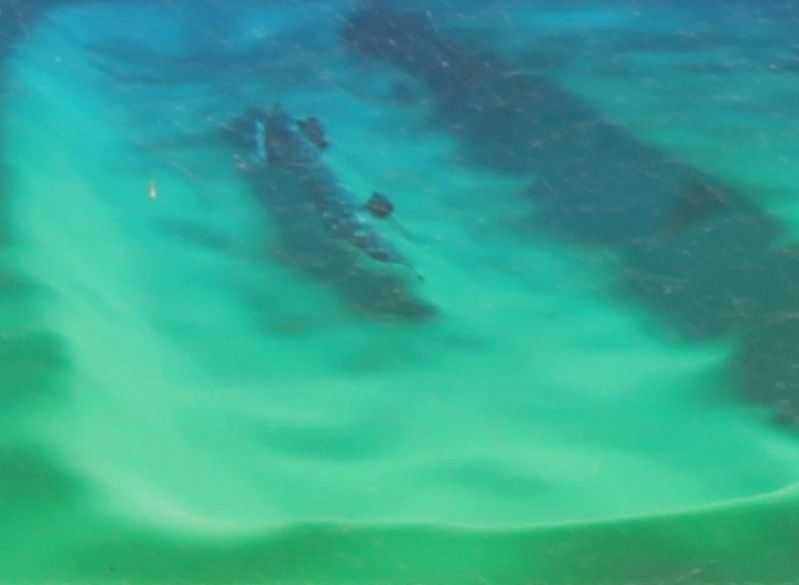
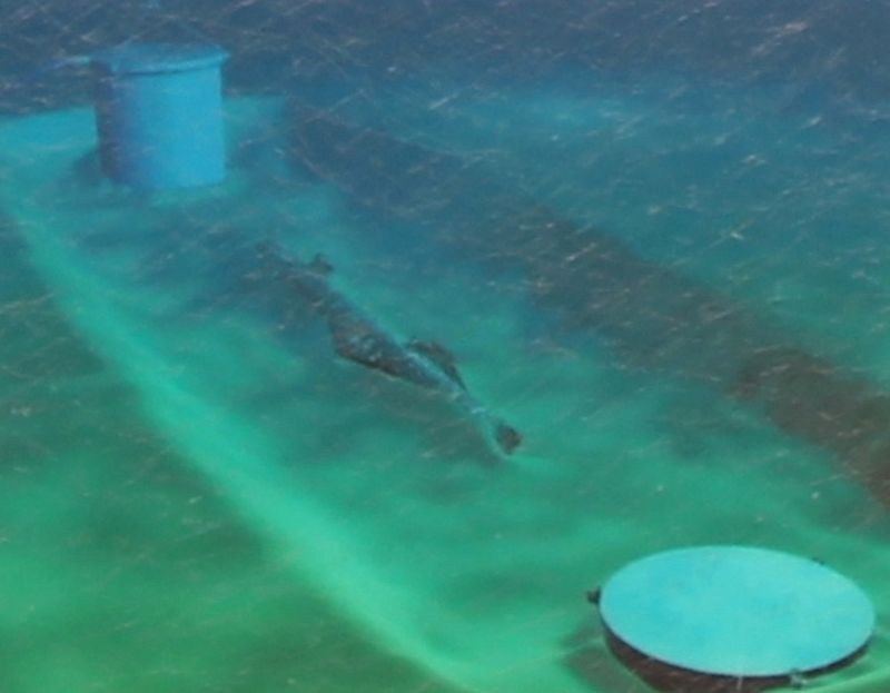
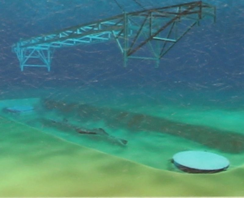
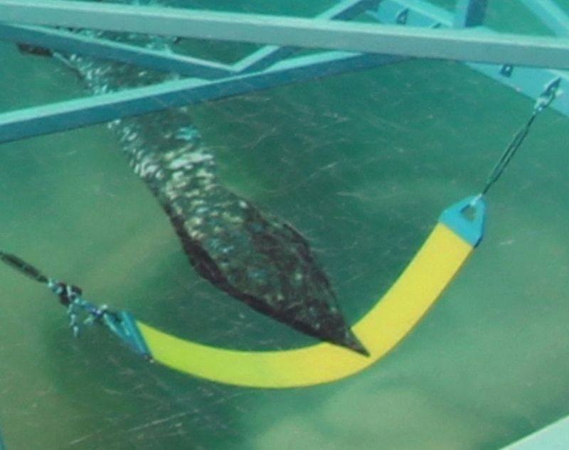
In mid-summer 2000, the team excavated the sub and supported it with a continuous series of slings attached to a specially built recovery frame. Each sling had a load cell to provide constant computerized monitoring of the hull stresses during recovery operations. Finally, the Hunley was raised from its resting place and transported to a conservation facility in North Charleston, where the delicate work of conservation and preservation will continue for years.
The Hunley Recovery Project represents a model of public/private partnership and interagency cooperation to preserve a national treasure. The Friends of the Hunley, a non-profit organization dedicated to helping the Hunley complete its historic journey home, have spearheaded fundraising for the recovery and conservation. Major funding has also been provided by the Department of Defense Legacy Resource Management Program and the State of South Carolina.
Erected by National Park Service U.S. Department of the Interior.
Topics. This historical marker is listed in these topic lists: War, US Civil • Waterways & Vessels.
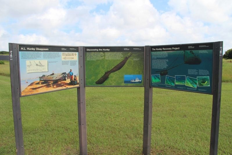
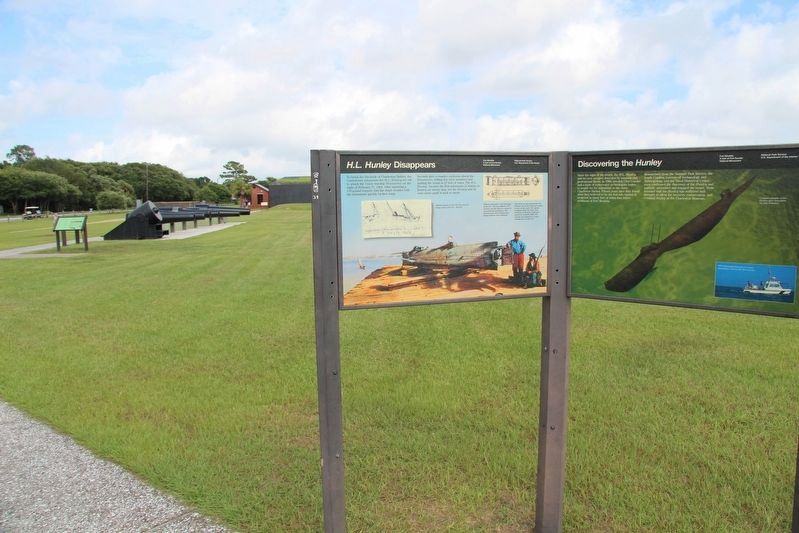
Location. 32° 45.534′ N, 79° 51.434′ W. Marker is on Sullivans Island, South Carolina, in Charleston County. Marker is on Middle Street west of Station 13 Street, on the left when traveling west. This marker is located along a walkway that is on the grounds in back (between fort and waterfront) of Fort Moultrie, and it is part of a three marker display panel. Touch for map. Marker is in this post office area: Sullivans Island SC 29482, United States of America. Touch for directions.
Other nearby markers. At least 8 other markers are within walking distance of this marker. Discovering the Hunley (here, next to this marker); H.L. Hunley Disappears (here, next to this marker); Cannon Row (a few steps from this marker); 1860 Flanking Caponniere (a few steps from this marker); Civil War Defense of Sullivan's Island (within shouting distance of this marker); 13-Inch Seacoast Mortar (within shouting distance of this marker); 10-Inch Confederate Columbiad (within shouting distance of this marker); Harbor Defense 1898-1939 (within shouting distance of this marker). Touch for a list and map of all markers in Sullivans Island.
Additional keywords. The Hunley Recovery
Project
Credits. This page was last revised on May 22, 2020. It was originally submitted on September 21, 2017, by Dale K. Benington of Toledo, Ohio. This page has been viewed 269 times since then and 27 times this year. Photos: 1, 2, 3, 4, 5, 6, 7, 8. submitted on September 21, 2017, by Dale K. Benington of Toledo, Ohio.
