Covington in Newton County, Georgia — The American South (South Atlantic)
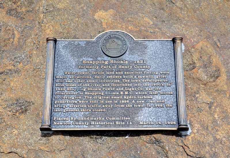
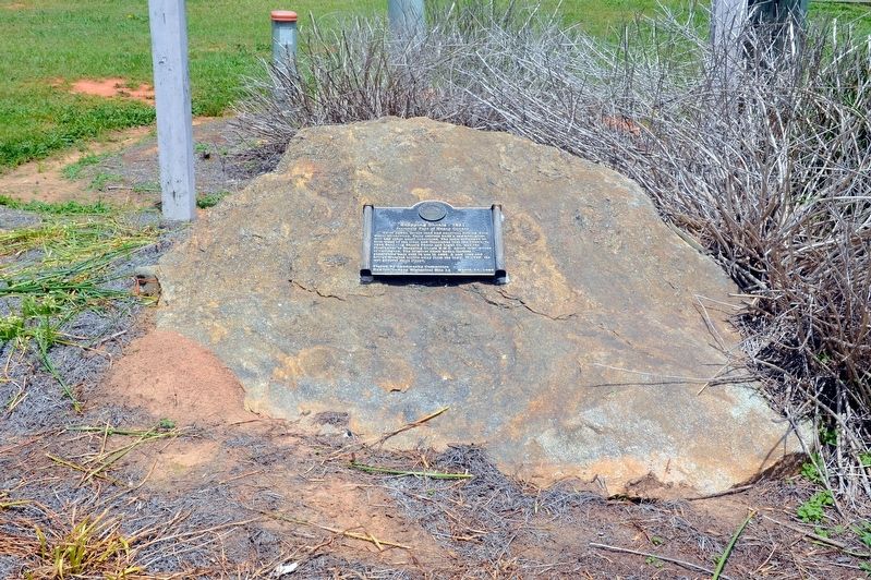
Snapping Shoals – 1821
formerly Part of Henry County
Erected 1996 by The Landmarks Committee, Newton County Historical Society. (Marker Number 14.)
Topics. This historical marker is listed in these topic lists: Industry & Commerce • Settlements & Settlers. A significant historical year for this entry is 1821.
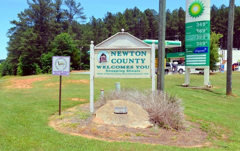
Location. 33° 29.233′ N, 83° 57.4′ W. Marker is in Covington, Georgia, in Newton County. Marker is at the intersection of Georgia Route 81 and Georgia Route 212, on the right when traveling north on State Route 81. Touch for map. Marker is in this post office area: Covington GA 30016, United States of America. Touch for directions.
Other nearby markers. At least 8 other markers are within 10 miles of this marker, measured as the crow flies. Dr. James Thomas Gibson (approx. 4.3 miles away); Red Oak Church (approx. 7.2 miles away); The March to the Sea (approx. 7.2 miles away); Factory Shoals c. 1820 (approx. 7.9 miles away); Washington Street School (approx. 8.9 miles away); Old Starrsville Store (approx. 9.2 miles away); The Capture of Covington (approx. 9.3 miles away); Confederate Dead & Hospitals (approx. 9.3 miles away). Touch for a list and map of all markers in Covington.
Credits. This page was last revised on September 24, 2017. It was originally submitted on September 24, 2017, by David Seibert of Sandy Springs, Georgia. This page has been viewed 461 times since then and 35 times this year. Photos: 1, 2, 3. submitted on September 24, 2017, by David Seibert of Sandy Springs, Georgia.


