Port Republic in Atlantic County, New Jersey — The American Northeast (Mid-Atlantic)
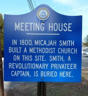
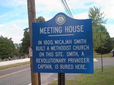
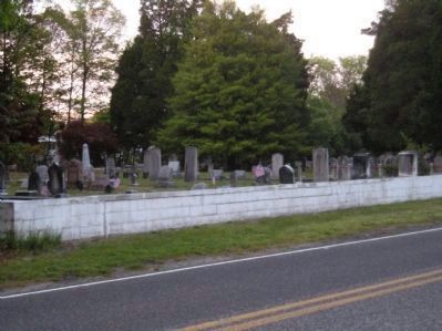
Meeting House
built a Methodist Church
on this site. Smith, a
Revolutionary privateer
captain, is buried here.
Erected by Atlantic County, NJ.
Topics. This historical marker is listed in these topic lists: Churches & Religion • Notable Places. A significant historical year for this entry is 1800.
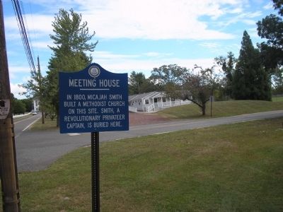
Location. 39° 31.149′ N, 74° 29.725′ W. Marker is in Port Republic, New Jersey, in Atlantic County. Marker is at the intersection of Main Street (County Route 575) and Park Avenue, on the right when traveling east on Main Street. Marker is located in front of Port Republic City Hall. Touch for map. Marker is in this post office area: Port Republic NJ 08241, United States of America. Touch for directions.
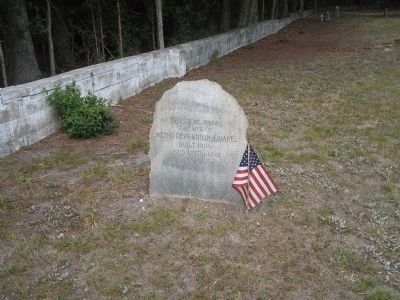
Other nearby markers. At least 8 other markers are within 3 miles of this marker, measured as the crow flies. Smith's Meeting House (within shouting distance of this marker); Franklin Inn (about 600 feet away, measured in a direct line); Clark's Mill Meeting House (approx. 0.8 miles away); Early Meeting House (approx. 0.8 miles away); Welcome to Port Republic, New Jersey (approx. 2˝ miles away); 3rd Battalion Gloucester County Militia (approx. 2˝ miles away); British Anchor (approx. 2˝ miles away); Privateers (approx. 2˝ miles away). Touch for a list and map of all markers in Port Republic.
Also see . . . Waymarking Documentation. The contributor's further research into this marker can be found here. (Submitted on August 30, 2008, by Eric Milask of Cherry Hill, New Jersey.)
Credits. This page was last revised on June 16, 2016. It was originally submitted on August 30, 2008, by Bill Coughlin of Woodland Park, New Jersey. This page has been viewed 2,074 times since then and 17 times this year. Photos: 1. submitted on February 28, 2011, by John Intile of Toms River, New Jersey. 2. submitted on March 2, 2011, by Bill Coughlin of Woodland Park, New Jersey. 3, 4. submitted on August 30, 2008, by Bill Coughlin of Woodland Park, New Jersey. 5. submitted on August 30, 2008, by Eric Milask of Cherry Hill, New Jersey.
