West Montrose in Waterloo Region, Ontario — Central Canada (North America)
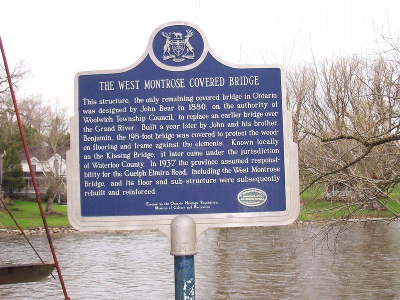
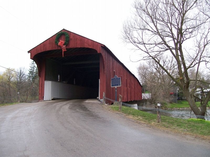
The West Montrose Covered Bridge
Erected by the Ontario Heritage Foundation, Ministry of Culture and Recreation
Encrypted 01/01/2000 Commemorative Millenium Capsule Open 01/01/2100
Erected 2000 by Ontario Heritage Foundation, Ministry of Culture and Recreation.
Topics and series. This historical marker is listed in this topic list: Bridges & Viaducts. In addition, it is included in the Covered Bridges series list.
Location. 43° 35.118′ N, 80° 28.868′ W. Marker is in West Montrose, Ontario, in Waterloo Region. Marker is at the intersection of Rivers Edge Drive and Covered Bridge Drive, on the right when traveling north on Rivers Edge Drive. Touch for map. Marker is at or near this postal address: 1232 Rivers Edge Drive, West Montrose ON N0B 2V0, Canada. Touch for directions.
Other nearby markers. At least 8 other markers are within 14 kilometers of this marker, measured as the crow flies. The Village Centre (approx. 11.6 kilometers away); Wilfred Laurier University/ Université Wilfred Laurier (approx. 13.1 kilometers away); The First Lutheran Seminary in Canada (approx. 13.2 kilometers away); William Lyon Mackenzie King (approx. 13.5 kilometers away); Woodside (approx. 13.5 kilometers away); The One Hundredth Anniversary of the Incorporation of Waterloo as a Village (approx. 13.6 kilometers away); Abraham Erb (approx. 13.7 kilometers away); Log Schoolhouse (approx. 13.7 kilometers away).
Credits. This page was last revised on January 24, 2022. It was originally submitted on September 27, 2017, by Yugoboy of Rochester, New York. This page has been viewed 234 times since then and 12 times this year. Photos: 1, 2. submitted on September 27, 2017, by Yugoboy of Rochester, New York. • Andrew Ruppenstein was the editor who published this page.

