Near Seneca in Grant County, Oregon — The American West (Northwest)
Railroad to a Brighter Future
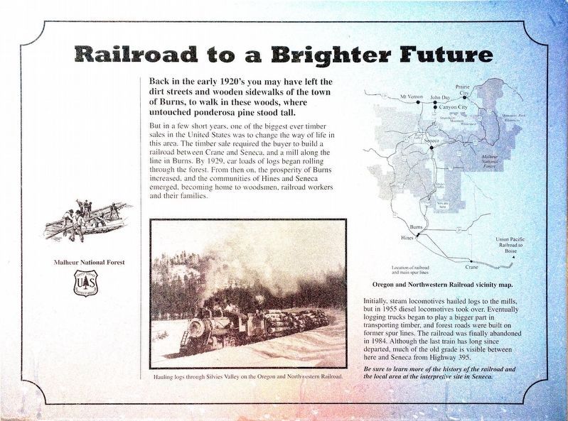
Back in the early 1920's you may have left the dirt streets and wooden sidewalks of the town of Burns, to walk in these woods, where untouched ponderosa stood tall.
But in a few short years, one of the biggest ever timber sales in the United States was to change the way of life in this area. The timber sale required the buyer to build a railroad between Crane and Seneca, and a mill along the line in Burns. By 1929 carloads of logs began rolling through the forest. From then on, the prosperity of Burns increased and the communities of Hines and Seneca emerged, becoming homes to woodsmen, railroad workers, and their families.
Initially steam locomotives hauled logs to the mills but in 1955 diesel locomotives took over. Eventually logging trucks took a bigger part in transporting timber, and forest roads were built on former spur lines. The railroad was finally abandoned in 1984. Although the last train has long ago departed, much of the old grade is visible between here and Seneca from Highway 395.
Be sure to learn more of the history of the railroad and the local area at the interpretive site in Seneca.
Erected by Malheur National Forest.
Topics. This historical marker is listed in these topic lists: Horticulture & Forestry • Industry & Commerce • Railroads & Streetcars. A significant historical year for this entry is 1920.
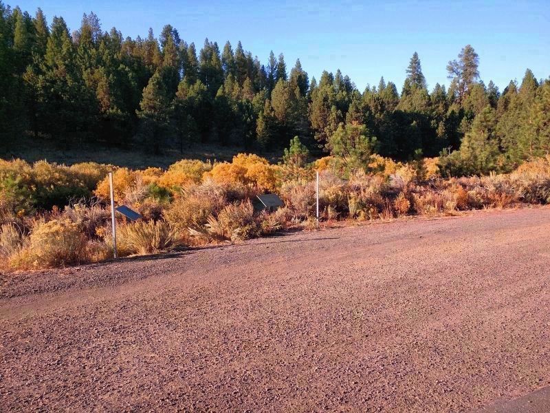
Location. 43° 50.747′ N, 118° 57.312′ W. Marker is near Seneca, Oregon, in Grant County. Marker is on U.S. 395, on the right when traveling south. Touch for map. Marker is in this post office area: Seneca OR 97873, United States of America. Touch for directions.
Other nearby markers. At least 1 other marker is within walking distance of this marker. Rocks, Rails and Railroad Ties (here, next to this marker).
Credits. This page was last revised on October 6, 2017. It was originally submitted on October 3, 2017, by Don Hann of Canyon City, Oregon. This page has been viewed 148 times since then and 15 times this year. Photos: 1, 2. submitted on October 3, 2017, by Don Hann of Canyon City, Oregon. • Syd Whittle was the editor who published this page.

