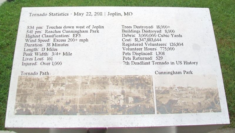
Tornado Statistics - May 22, 2011 - Joplin, MO
5:34 pm: Touches down west of Joplin
5:41 pm: Reaches Cunningham Park
Highest Classification: EF5
Wind Speed: Excess 200+ mph
Duration: 38 Minutes
Length: 13 Miles
Peak Width: 3/4+ Mile
Lives Lost: 161
Injured: Over 1,000
Trees Destroyed: 18,000+
Buildings Destroyed: 8,000
Debris: 3,000,000 Cubic Yards
Cost: $1,347,883,644
Registered Volunteers: 126,804
Volunteer Hours: 775,000
Pets Displaced: 1,308
Pets Returned: 529
7th Deadliest Tornado in US History
[Photos of]
Tornado Path
Cunningham Park
Erected by TKF Foundation and the City of Joplin.
Topics. This historical marker is listed in these topic lists: Charity & Public Work • Disasters.
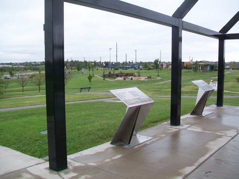
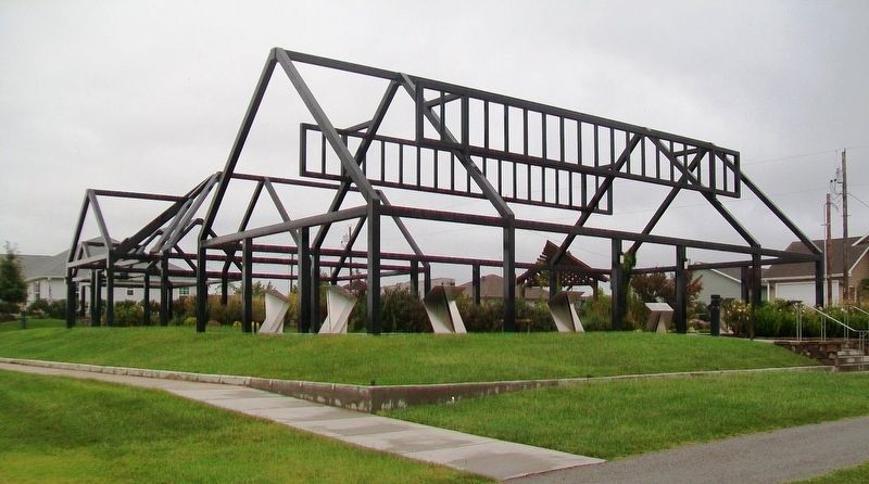
Location. 37° 3.831′ N, 94° 31.801′ W. Marker is in Joplin, Missouri, in Jasper County. Marker is on Maiden Lane north of 26th Street/Gabby Street Boulevard, on the right when traveling north. Marker is part of the Butterfly Garden and Overlook. Touch for map. Marker is at or near this postal address: Cunningham Park, Joplin MO 64804, United States of America. Touch for directions.
Other nearby markers. At least 8 other markers are within walking distance of this marker. Recovery Efforts: After the Storm (here, next to this marker); Survivor Quotes (here, next to this marker); St. John's Regional Medical Center
Also see . . . 2011 Joplin Tornado. Wikipedia entry (Submitted on April 5, 2022, by Larry Gertner of New York, New York.)

Click for more information.
Credits. This page was last revised on April 12, 2022. It was originally submitted on October 3, 2017, by William Fischer, Jr. of Scranton, Pennsylvania. This page has been viewed 329 times since then and 13 times this year. Photos: 1. submitted on October 3, 2017, by William Fischer, Jr. of Scranton, Pennsylvania. 2. submitted on April 12, 2022, by Larry Gertner of New York, New York. 3. submitted on October 3, 2017, by William Fischer, Jr. of Scranton, Pennsylvania. 4. submitted on October 2, 2017, by William Fischer, Jr. of Scranton, Pennsylvania.


