Recovery Efforts: After the Storm
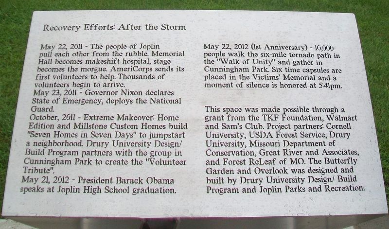
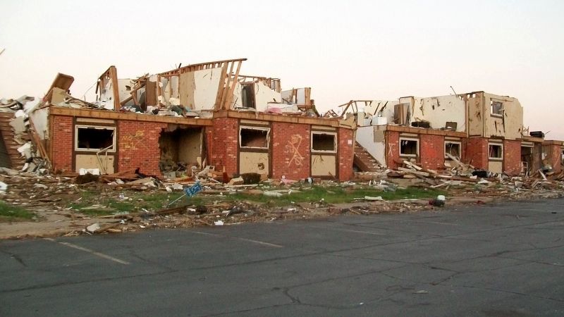
May 22, 2011 - The people of Joplin pull each other from the rubble. Memorial Hall becomes makeshift hospital, stage becomes the morgue. AmeriCorps sends its first volunteers to help. Thousands of volunteers begin to arrive.
May 23, 2011 - Governor Nixon declares State of Emergency, deploys the National Guard.
October, 2011 - Extreme Makeover: Home Edition and Millstone Custom Homes build "Seven Homes in Seven Days" to jumpstart a neighborhood. Drury University Design/Build Program partners with the group in Cunningham Park to create the "Volunteer Tribute".
May 21, 2012 - President Barack Obama speaks at Joplin High School graduation.
May 22, 2012 (1st Anniversary) - 10,000 people walk the six-mile tornado path in the "Walk of Unity" and gather in Cunningham Park. Six time capsules are placed in the Victims' Memorial and a moment of silence is honored at 5:41pm.
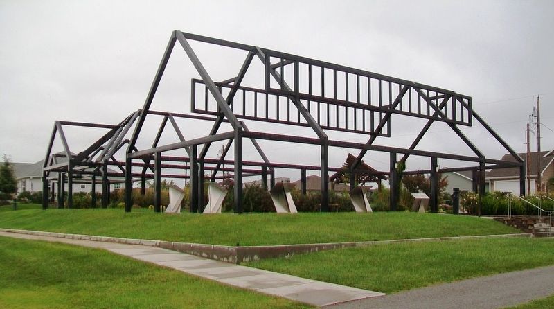
This space was made possible through a grant from the TKF Foundation, Walmart and Sam's Club. Project partners: Cornell University, USDA Forest Service, Drury University, Missouri Department of Conservation, Great River and Associates, and Forest ReLeaf of MO. The Butterfly Garden and Overlook was designed and built by Drury University Design/Build Program and Joplin Parks and Recreation.
Erected by TKF Foundation
Topics and series. This historical marker is listed in these topic lists: Charity & Public Work • Disasters. In addition, it is included in the Former U.S. Presidents: #44 Barack Obama, and the Time Capsules series lists. A significant historical date for this entry is May 22, 2011.
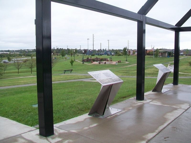
Location. 37° 3.831′ N, 94° 31.804′ W. Marker is in Joplin, Missouri, in Jasper County. Marker is on Maiden Lane north of 26th Street/Gabby Street Boulevard, on the right when traveling north. Marker is part of the Butterfly Garden and Overlook. Touch for map. Marker is at or near this postal address: Cunningham Park, Joplin MO 64804, United States of America. Touch for directions.
Other nearby markers. At least 8 other markers are within walking distance of this marker. Survivor Quotes (here, next to this marker); Tornado Statistics - May 22, 2011 - Joplin, MO (here, next to this marker); The Butterfly People (here, next to this marker); St. John's Regional Medical Center (a few steps from this marker); Joplin Tornado Memorial, Volunteer Tribute and Children's Memorial (a few steps from this marker); Butterfly Garden and Overlook (a few steps from this marker); A Tribute to the Volunteers (within shouting distance of this marker); The Miracle of the Human Spirit - Joplin 2011 (within shouting distance of this marker). Touch for a list and map of all markers in Joplin.

Click for more information.
Credits. This page was last revised on April 12, 2022. It was originally submitted on October 3, 2017, by William Fischer, Jr. of Scranton, Pennsylvania. This page has been viewed 259 times since then and 11 times this year. Photos: 1. submitted on October 3, 2017, by William Fischer, Jr. of Scranton, Pennsylvania. 2. submitted on April 12, 2022, by Larry Gertner of New York, New York. 3. submitted on October 3, 2017, by William Fischer, Jr. of Scranton, Pennsylvania. 4. submitted on October 2, 2017, by William Fischer, Jr. of Scranton, Pennsylvania. 5. submitted on October 1, 2017, by William Fischer, Jr. of Scranton, Pennsylvania.
