Addison in Addison County, Vermont — The American Northeast (New England)
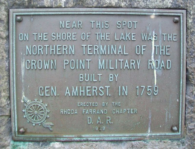
Northern Terminal of the Crown Point Military Road
Inscription.
on the shore of the lake was the
Northern Terminal of the
Crown Point Military Road
built by
Gen. Amherst, in 1759
Erected 1929 by Rhoda Farrand Chapter, Daughters of the American Revolution.
Topics and series. This historical marker is listed in these topic lists: Colonial Era • Roads & Vehicles • Waterways & Vessels. In addition, it is included in the Daughters of the American Revolution series list. A significant historical year for this entry is 1759.
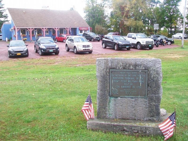
Location. 44° 2.179′ N, 73° 25.089′ W. Marker is in Addison, Vermont, in Addison County. Marker is on Vermont Route 17, on the right when traveling north. Touch for map. Marker is at or near this postal address: 8013 VT Rt 17, Vergennes VT 05491, United States of America. Touch for directions.
Other nearby markers. At least 8 other markers are within walking distance of this marker. Chimney Point (about 500 feet away, measured in a direct line); Samuel Champlain (approx. half a mile away in New York); The White Flag (approx. 0.6 miles away in New York); The 1929 Lake Champlain Bridge (approx. 0.6 miles away in New York); Fort St. Frédéric (approx. 0.6 miles away in New York); Selecting a Bridge Location (approx. 0.6 miles away in New York); Eastern Terminus (approx. 0.6 miles away in New York); The French at Crown Point (approx. 0.6 miles away in New York).
Also see . . .
1. History of the Crown Point Military Road. (Submitted on October 19, 2017, by William Fischer, Jr. of Scranton, Pennsylvania.)
2. Crown Point Military Road. (Submitted on October 19, 2017, by William Fischer, Jr. of Scranton, Pennsylvania.)
Credits. This page was last revised on January 25, 2020. It was originally submitted on October 19, 2017, by William Fischer, Jr. of Scranton, Pennsylvania. This page has been viewed 333 times since then and 14 times this year. Photos: 1, 2. submitted on October 19, 2017, by William Fischer, Jr. of Scranton, Pennsylvania.

