Southwest Waterfront in Southwest Washington in Washington, District of Columbia — The American Northeast (Mid-Atlantic)
Renewal and Loss
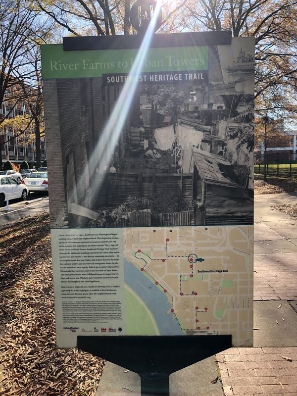
River Farms to Urban Towers
— Southwest Heritage Trail —
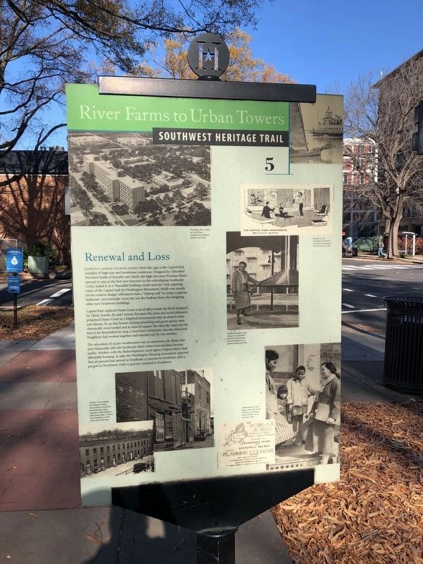
Directly across Fourth Street from this sign is the Capitol Park complex of high-rise and townhouse residences. Designed by Chloethiel Woodard Smith of Satterlee and Smith, the high-rise (now Potomac Place) opened in 1959 as the first new structure in the redeveloping Southwest. Critics hailed it as a "beautiful building, inside and out" with inspiring views of the Capitol and the Washington Monument. Smith won awards for her creative design (efficiencies had a "folding wall" to create a separate bedroom) and materials. Soon she was the leading choice for designing other new Southwest buildings.
Capitol Park replaced Dixon Court, a set of alleys inside the block bordered by Third, Fourth, H, and I streets. For years the press and social reformers presented Dixon Court as a blighted environment that incubated crime and disease. Its 43 tiny houses, lacking plumbing and green spaces, were chronically overcrowded and in need of repairs. Yet when the court was the first to be demolished in 1954, a close-knit community was also destroyed. Neighbors had worked together and watched out for one another.
The relocation of 23,500 Southwesters was an enormous job. Many who were financially able left Southwest when urban renewal plans became public. Workers with the Redevelopment Land Agency helped others find affordable housing. In 1960 the Washington Housing Association reported that 46 percent had moved to Southeast, 27 percent to Northeast, and 15 percent to Northwest. Only 12 percent returned to Southwest.
Erected 2004 by Cultural Tourism DC. (Marker Number 5.)
Topics and series. This historical marker is listed in these topic lists: Architecture • Industry & Commerce. In addition, it is included in the Southwest Heritage Trail series list. A significant historical year for this entry is 1954.
Location. 38° 52.87′ N, 77° 1.058′ W. Marker is in Southwest Washington in Washington, District of Columbia. It is in Southwest Waterfront. Marker is at the intersection of 4th Street Southwest and G Street Southwest, on the right when traveling south on 4th Street Southwest. Touch for map. Marker is at or near this postal address: 398 G Street Southwest, Washington DC 20024, United States of America. Touch for directions.
Other nearby markers. At least 8 other markers are within walking distance of this marker. A Mixing Bowl (about 300 feet away, measured in a direct line); The Heyday of Four-and-a-Half Street (about 700 feet away); Dr. Dorothy Height (approx. ¼ mile away); Can you identify these famous Civil Rights leaders? (approx. ¼ mile away); ADA: Landmark Declaration of Equality for Americans with Disabilities (approx. ¼ mile away); 20th Anniversary of ADA July 24, 2010
Also see . . . River Farms to Urban Towers Booklet. (Submitted on October 20, 2017, by Devry Becker Jones of Washington, District of Columbia.)
Credits. This page was last revised on January 30, 2023. It was originally submitted on October 20, 2017, by Devry Becker Jones of Washington, District of Columbia. This page has been viewed 194 times since then and 10 times this year. Last updated on March 8, 2019, by Devry Becker Jones of Washington, District of Columbia. Photos: 1, 2, 3, 4. submitted on December 6, 2020, by Devry Becker Jones of Washington, District of Columbia. • Bill Pfingsten was the editor who published this page.


