Near Kirkville in Onondaga County, New York — The American Northeast (Mid-Atlantic)
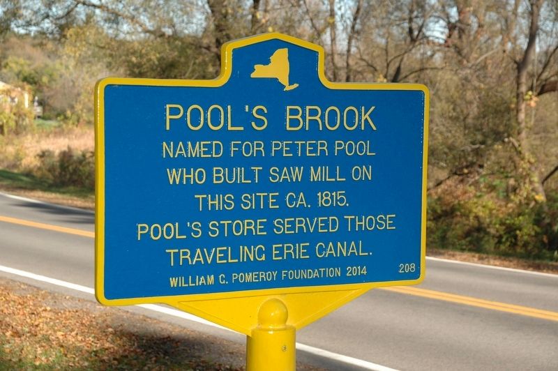
Pool's Brook
Who Built Saw Mill On
This Site ca. 1815.
Pool's Store Served Those
Traveling Erie Canal.
Erected 2014 by William G. Pomeroy Foundation. (Marker Number 208.)
Topics and series. This historical marker is listed in these topic lists: Industry & Commerce • Waterways & Vessels. In addition, it is included in the Erie Canal, and the William G. Pomeroy Foundation series lists. A significant historical year for this entry is 1815.
Location. 43° 4.373′ N, 75° 55.755′ W. Marker is near Kirkville, New York, in Onondaga County. Marker is on North Poolsbrook Road, on the right when traveling south. Touch for map. Marker is at or near this postal address: 6221 North Poolsbrook Road, Manlius NY 13104, United States of America. Touch for directions.
Other nearby markers. At least 8 other markers are within 4 miles of this marker, measured as the crow flies. Old Erie Canal State Historic Park at Kirkville Road (approx. one mile away); Canal Industry (approx. 2.9 miles away); Dry Docks: Canal Service Centers (approx. 3 miles away); Feeding the Canal (approx. 3 miles away); A Busy, Bustling Boatyard (approx. 3 miles away); A Cannery at the Crosswaters (approx. 3 miles away); Deep Spring (approx. 3.3 miles away); Industrial Area (approx. 3.7 miles away).

Photographed By Howard C. Ohlhous, October 21, 2017
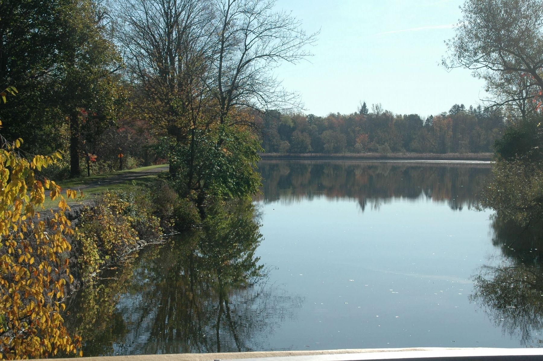
2. Pool's Brook
This is a view to the east of Pool's Brook from the bridge on North Pool's Brook Road, near the Poolsbrook Golf Course. On the left is the foot path of the Canalway Trail, aka, the Old Erie Canal State Historic Park. Pools Brook is a small cold water brush- lined spring creek that was diverted into the original Erie Canal to help maintain water levels.
Credits. This page was last revised on October 26, 2017. It was originally submitted on October 25, 2017, by Howard C. Ohlhous of Duanesburg, New York. This page has been viewed 477 times since then and 29 times this year. Photos: 1, 2. submitted on October 26, 2017, by Howard C. Ohlhous of Duanesburg, New York. • Bill Pfingsten was the editor who published this page.
