Marker Logo HMdb.org THE HISTORICAL
MARKER DATABASE
“Bite-Size Bits of Local, National, and Global History”
Bastrop in Morehouse Parish, Louisiana — The American South (West South Central)
 

Point Pleasant


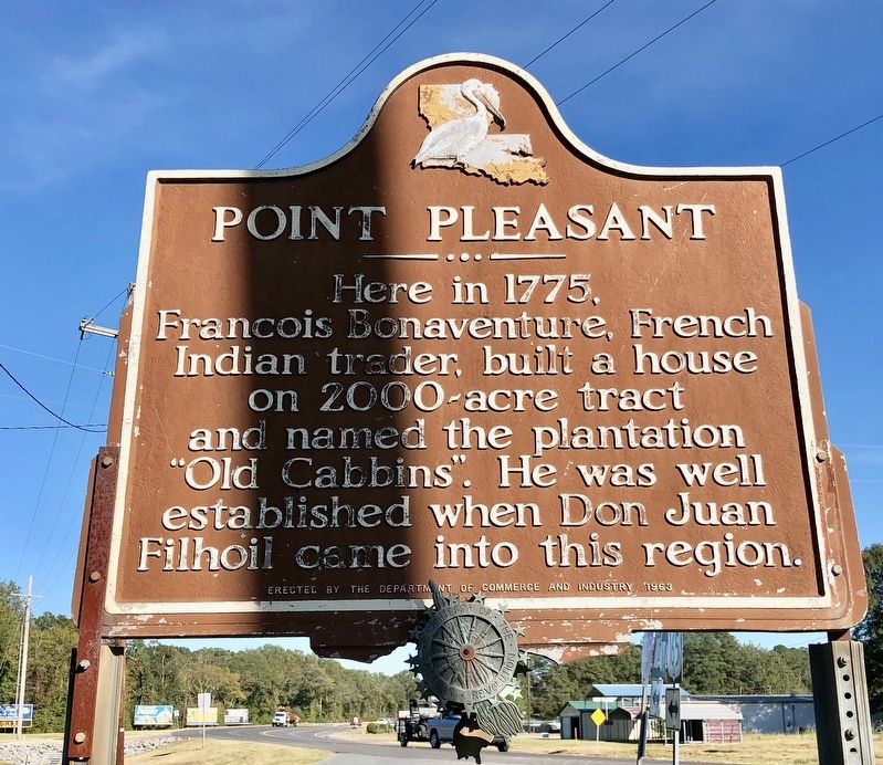
Point Pleasant Marker image. Click for full size.
Photographed By Mark Hilton, October 25, 2017
1. Point Pleasant Marker
Inscription. Here in 1775, Francois Bonaventure, French Indian trader, built a house on 2000~acre tract and named the plantation "Old Cabbins". He was well established when Don Juan Filhoil came into this region.
 
Erected 1963 by the Department of Commerce and Industry.
 
Topics. This historical marker is listed in these topic lists: Colonial EraExplorationSettlements & Settlers. A significant historical year for this entry is 1775.
 
Location. 32° 46.531′ N, 91° 57.032′ W. Marker is in Bastrop, Louisiana, in Morehouse Parish. Marker is at the intersection of Point Pleasant Road (Louisiana Route 592) and New Monroe Road (U.S. 165), on the right when traveling south on Point Pleasant Road. Touch for map. Marker is at or near this postal address: 5739 Point Pleasant Road, Bastrop LA 71220, United States of America. Touch for directions.
 
Other nearby markers. At least 4 other markers are within 9 miles of this marker, measured as the crow flies. Morehouse Parish Training School (approx. 1˝ miles away); Mable John (approx. 2.1 miles away); Luther E. Hall (approx. 3.2 miles away); "Ben and the Boys" (approx. 9 miles away).
 
More about this marker. The name of the Ouachita Post Commandant, Juan Filhiol is misspelled as Filhoil on the marker.

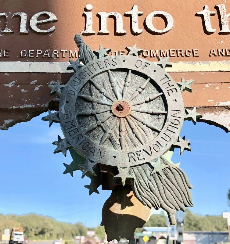
A Daughters of the American Revolution medallion is mounted to both sides, at the bottom of the marker.
 
Paid Advertisement
Click on the ad for more information.
Please report objectionable advertising to the Editor.
Click or scan to see
this page online
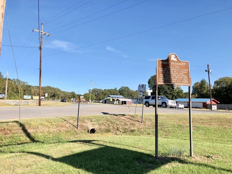
View of marker at intersection of Point Pleasant & New Monroe Roads. image. Click for full size.
Photographed By Mark Hilton, October 25, 2017
2. View of marker at intersection of Point Pleasant & New Monroe Roads.
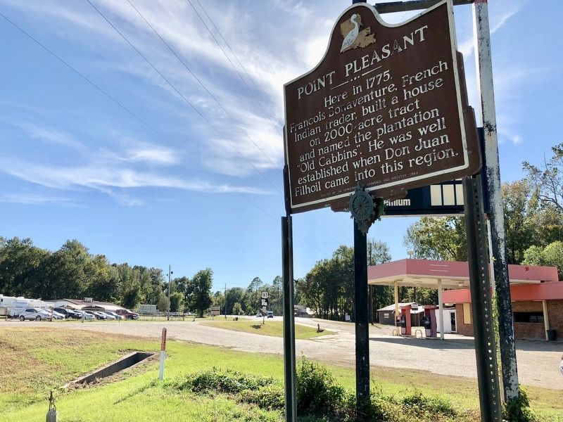
View of marker looking west on US Highway 165 near currently closed gas station. image. Click for full size.
Photographed By Mark Hilton, October 25, 2017
3. View of marker looking west on US Highway 165 near currently closed gas station.
Daughters of the American Revolution medallions affixed to marker. image. Click for full size.
Photographed By Mark Hilton, October 25, 2017
4. Daughters of the American Revolution medallions affixed to marker.
 
 
Credits. This page was last revised on October 27, 2020. It was originally submitted on October 25, 2017, by Mark Hilton of Montgomery, Alabama. This page has been viewed 598 times since then and 69 times this year. Photos:   1, 2, 3, 4. submitted on October 25, 2017, by Mark Hilton of Montgomery, Alabama.
Share this page.  
Share on Tumblr
m=109229

CeraNet Cloud Computing sponsors the Historical Marker Database.
This website earns income from purchases you make after using our links to Amazon.com. We appreciate your support.
Paid Advertisement
Apr. 24, 2024