The Dead Creek Wildlife Management Area
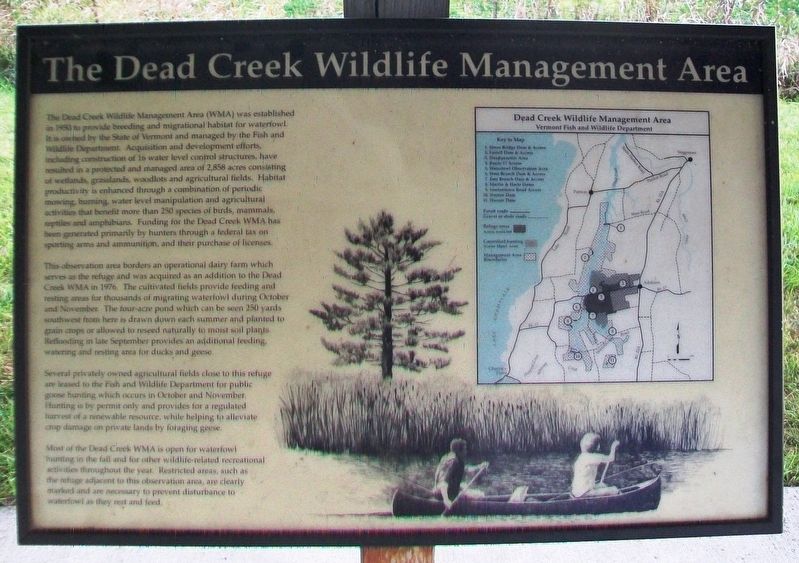
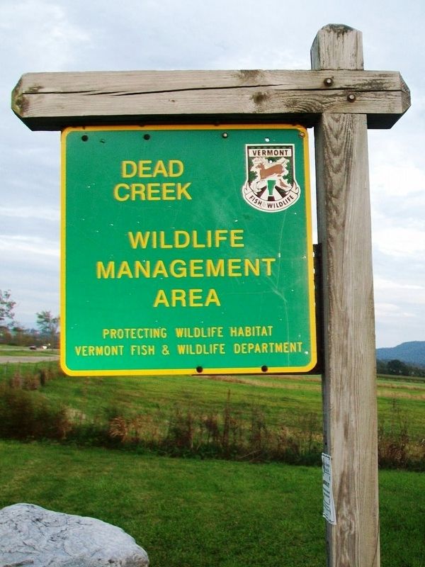
The Dead Creek Wildlife Management Area (WMA) was established in 1950 to provide breeding and migrational habitat for waterfowl. It is owned by the State of Vermont and managed by the Fish and Wildlife Department. Acquisition and development efforts, including construction of 16 water level control structures, have resulted in a protected and managed area of 2,858 acres consisting of wetlands, grasslands, woodlots and agricultural fields. Habitat productivity is enhanced through a combination of periodic mowing, burning, water level manipulation and agricultural activities that benefit more than 250 species of birds, mammals, reptiles and amphibians. Funding for the Dead Creek WMA has been generated primarily by hunters through a federal tax on sporting arms and ammunition, and their purchase of licenses.
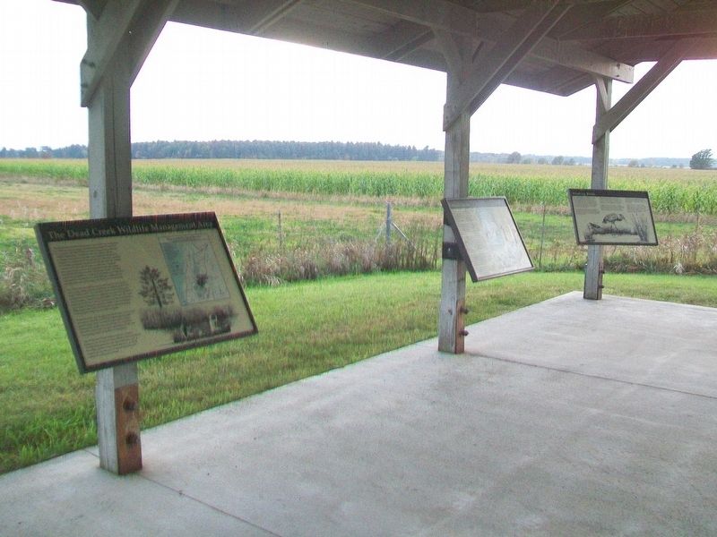
This observation area borders an operational dairy farm which serves as the refuge and was acquired as an addition to the Dead Creek WMA in 1976. The cultivated fields provide feeding and resting areas for thousands of migrating waterfowl during October and November. The four-acre pond which can be seen 250 yards southwest from here is drawn down each summer and planted to grain crops or allowed to reseed naturally to moist soil plants. Reflooding in late September provides an additional feeding, watering and resting area for
ducks and geese.Several privately owned agricultural fields close to this refuge are leased to the Fish and Wildlife Department for public goose hunting which occurs in October and November. Hunting is by permit only and provides for a regulated harvest of a renewable resource, while helping to alleviate crop damage on private lands by foraging geese.
Most of the Dead Creek WMA is open for waterfowl hunting in the fall and for other wildlife-related recreational activities throughout the year. Restricted areas, such as the refuge adjacent to this observation area, are clearly marked and are necessary to prevent disturbance to waterfowl as they rest and feed.
Erected by Vermont Fish & Wildlife Department.
Topics. This historical marker is listed in these topic lists: Agriculture • Animals • Environment • Waterways & Vessels. A significant historical year for this entry is 1950.
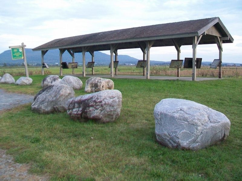
Location. 44° 5.115′ N, 73° 20.207′ W. Marker is near Addison, Vermont, in Addison County. Marker is on Vermont Route 17W, 1.7 miles west of Vermont Route 22A, on the left when traveling west. Markers are under a shelter at the roadside wildlife viewing area. Touch for map. Marker is at or near this postal address: 2015 Vermont Route 17W, Vergennes VT 05491, United States of America. Touch for directions.
Other nearby markers. At least 8 other markers are within 6 miles of this marker, measured as the crow
Credits. This page was last revised on November 3, 2020. It was originally submitted on October 26, 2017, by William Fischer, Jr. of Scranton, Pennsylvania. This page has been viewed 284 times since then and 29 times this year. Photos: 1, 2, 3, 4. submitted on October 26, 2017, by William Fischer, Jr. of Scranton, Pennsylvania.


