Natchitoches in Natchitoches Parish, Louisiana — The American South (West South Central)
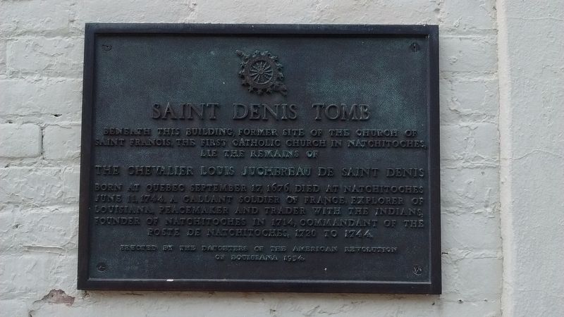
Saint Denis Tomb
Born at Quebec September 17, 1676, died at Natchitoches June 11, 1744. A gallant soldier of France, explorer of Louisiana, peacemaker and trader with the Indians, founder of Natchitoches in 1714, Commandant of the Poste de Natchitoches, 1720 to 1744.
Erected 1954 by Daughters of the American Revolution of Louisiana.
Topics and series. This historical marker is listed in these topic lists: Churches & Religion • Colonial Era • Exploration • Settlements & Settlers. In addition, it is included in the Daughters of the American Revolution series list.
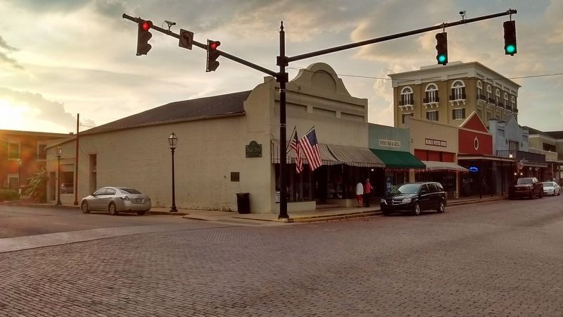
Location. 31° 45.657′ N, 93° 5.177′ W. Marker is in Natchitoches, Louisiana, in Natchitoches Parish. Marker is at the intersection of Church Street and Front Street (State Highway 6), on the right when traveling west on Church Street. Touch for map. Marker is in this post office area: Natchitoches LA 71457, United States of America. Touch for directions.
Other nearby markers. At least 8 other markers are within walking distance of this marker. Great Red River Flood of 1945 (within shouting distance of this marker); The Louisiana Purchase/El Camino Real De Los Tejas (within shouting distance of this marker); The Red River Campaign (about 400 feet away, measured in a direct line); Ft. St. Jean Baptiste (about 400 feet away); First Mass in Natchitoches (about 400 feet away); Basilica of the Immaculate Conception (about 500 feet away); The Legacy of Catholicism (about 500 feet away); Ducournau Building (about 500 feet away). Touch for a list and map of all markers in Natchitoches.
Also see . . . Louis Juchereau de St. Denis. Wikipedia (Submitted on October 31, 2017, by Tom Bosse of Jefferson City, Tennessee.)
Credits. This page was last revised on November 1, 2017. It was originally submitted on October 31, 2017, by Tom Bosse of Jefferson City, Tennessee. This page has been viewed 573 times since then and 72 times this year. Photos: 1, 2, 3. submitted on October 31, 2017, by Tom Bosse of Jefferson City, Tennessee. • Bernard Fisher was the editor who published this page.


