Tendoy in Lemhi County, Idaho — The American West (Mountains)
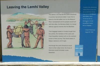
Leaving the Lemhi Valley
Lewis and Clark in Lemhi County
Their baggage loaded on horses bought from the Lemhis, the members of the Lewis and Clark Expedition started north on the overland portion of their journey. They faced weeks of fatigue, exposure, and hunger.
And though the Lemhi Shoshone would return to their valley home, the Corps of Discovery would find better routes elsewhere.
"A party of the (Shoshone) Indians that we were with, set out with their Horses to go over on the Mesouri (sic) after Buffalo, about 10 A.M. we set out, having all our horses (excepting 2) loaded with our baggage..." - Joseph Whitehouse, August 30, 1805
Erected by Bureau of Land Management.
Topics and series. This historical marker is listed in this topic list: Exploration. In addition, it is included in the Lewis & Clark Expedition series list. A significant historical date for this entry is March 30, 1805.
Location. 44° 57.606′ N, 113° 38.646′ W. Marker is in Tendoy, Idaho, in Lemhi County. Marker is on State Highway 28 near Tendoy Lane . Touch for map. Marker is at or near this postal address: 1944 Idaho Highway 28, Tendoy ID 83468, United States of America. Touch for directions.
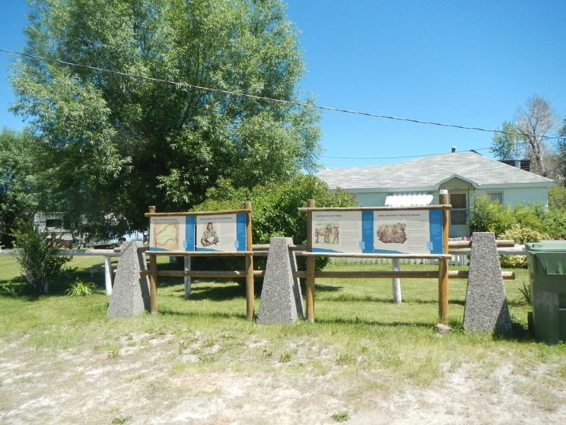
Other nearby markers. At least 8 other markers are within 3 miles of this marker, measured as the crow flies. Tendoy, Chief of the Lemhi Shoshone (here, next to this marker); Lewis and Clark: Trading for Horses (a few steps from this marker); Lewis and Clark (within shouting distance of this marker); First Irrigation Project (approx. 1.6 miles away); Salmon River Mission (approx. 1.6 miles away); a different marker also named The Salmon River Mission (approx. 1.6 miles away); Fort Lemhi (approx. 1.6 miles away); Sacajawea Comes Home (approx. 3.1 miles away). Touch for a list and map of all markers in Tendoy.
More about this marker. This marker is next to the Tendoy Store.
This marker is on the Lewis and Clark National Back Country Byway and Adventure Road. The Byway is a 36 mile loop from Tendoy, Idaho to Lemhi Pass and back to Tendoy over gravel roads with a 4000 foot gain and loss in elevation. There are 10 designated stops with pullouts on Byway and over two dozen information panels and markers on route. Estimated travel time is about 3 hours.
Credits. This page was last revised on October 31, 2017. It was originally submitted on October 31, 2017, by Barry Swackhamer of Brentwood, California. This page has been viewed 421 times since then and 38 times this year. Photos: 1, 2. submitted on October 31, 2017, by Barry Swackhamer of Brentwood, California.

