Near Pioneer in West Carroll Parish, Louisiana — The American South (West South Central)
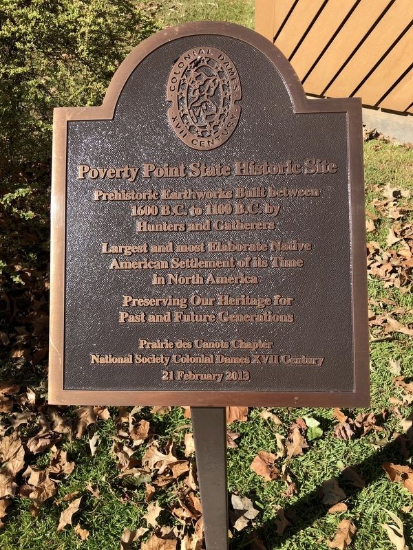
Poverty Point State Historic Site
Prehistoric Earthworks Built between 1600 B.C. to 1100 B.C. by Hunters and Gatherers
Largest and most Elaborate Native American Settlement of its Time in North America
Preserving Our Heritage for Past and Future Generations
Erected 2013 by Prairie des Canot Chapter National Society Colonial Dames XVII Century.
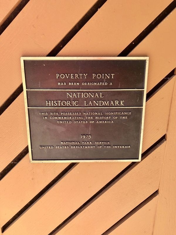
Topics and series. This historical marker is listed in these topic lists: Anthropology & Archaeology • Native Americans. In addition, it is included in the National Historic Landmarks, and the The Colonial Dames of America series lists. A significant historical year for this entry is 1600.
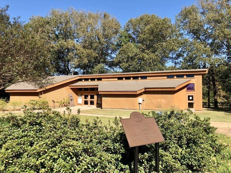
Location. 32° 38.169′ N, 91° 24.201′ W. Marker is near Pioneer, Louisiana, in West Carroll Parish. Marker can be reached from Louisiana Route 577, 1.2 miles north of Louisiana Route 134. Touch for map. Marker is at or near this postal address: 6859 LA-577, Pioneer LA 71266, United States of America. Touch for directions.
Other nearby markers. At least 8 other markers are within walking distance of this marker. Monumental Earthworks of Poverty Point (within shouting distance of this marker); Bayou Maçon (within shouting distance of this marker); The Poverty Point Landscape (within shouting distance of this marker); The Natural and Cultural Environment (within shouting distance of this marker); This is Poverty Point (within shouting distance of this marker); Before Poverty Point (within shouting distance of this marker); Poverty Point Artifacts (within shouting distance of this marker); Peopling of the Americas (within shouting distance of this marker). Touch for a list and map of all markers in Pioneer.
Also see . . . Wikipedia article on Poverty Point. (Submitted on November 1, 2017, by Mark Hilton of Montgomery, Alabama.)
Credits. This page was last revised on September 23, 2020. It was originally submitted on November 1, 2017, by Mark Hilton of Montgomery, Alabama. This page has been viewed 228 times since then and 11 times this year. Photos: 1, 2, 3. submitted on November 1, 2017, by Mark Hilton of Montgomery, Alabama.


