Near Pioneer in West Carroll Parish, Louisiana — The American South (West South Central)
Mound B
— Poverty Point Earthworks —
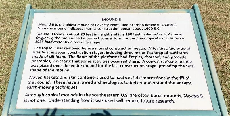
Mound B is the oldest mound at Poverty Point. Radiocarbon dating of charcoal from the mound indicates that its construction began about 1600 B.C.
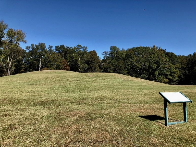
Mound B today is about 20 feet in height and it is 180 feet in diameter at its base Originally, the mound had a perfect conical form, but archaeological excavations in 1955 inadvertently altered its shape.
The topsoil was removed before mound construction began. After that, the mound was built in seven construction stages, including three major flat-topped platforms made of silt loam. The floors of the platforms had firepits, charcoal, and possible postholes, indicating that some activities occurred there. A conical silt-loam mantle was placed over the entire mound for the last construction stage, providing the final shape of the mound.
Woven baskets and skin containers used to haul dirt left impressions in the fill of the mound. These have allowed archaeologists to better understand the ancient earth-moving techniques.
Although conical mounds in the southeastern U.S are often burial mounds, Mound B is not one. Understanding how it was used will require future research.
Erected by the State of Louisiana.
Topics. This historical marker is listed in these topic lists: Anthropology & Archaeology • Native Americans. A significant historical year for this entry is 1600.
Location. 32° 38.446′ N, 91° 24.652′ W. Marker is near Pioneer, Louisiana, in West Carroll Parish. Marker can be reached from Louisiana Route 577, 1.7 miles north of Louisiana Route 134. Located along the tram & driving tour road. Touch for map. Marker is in this post office area: Pioneer LA 71266, United States of America. Touch for directions.
Other nearby markers. At least 8 other markers are within walking distance of this marker. Mound A (approx. 0.4 miles away); Mound A Apex (approx. 0.4 miles away); Mound C (approx. 0.4 miles away); Poverty Point Earthworks (approx. half a mile away); Southwest Ridges (approx. half a mile away); a different marker also named Poverty Point Earthworks (approx. half a mile away); After Poverty Point (approx. half a mile away); Poverty Point Artifacts (approx. half a mile away). Touch for a list and map of all markers in Pioneer.
Also see . . . Wikipedia article on Poverty Point. (Submitted on November 1, 2017, by Mark Hilton of Montgomery, Alabama.)
Credits. This page was last revised on September 23, 2020. It was originally submitted on November 1, 2017, by Mark Hilton of Montgomery, Alabama. This page has been viewed 228 times since then and 11 times this year. Photos: 1, 2, 3. submitted on November 1, 2017, by Mark Hilton of Montgomery, Alabama.


